Raft Creek
- 18.8 mi
- distance
- 207 ft
- high point
- Mar–May, Sep–Nov
- best months
Raft Creek is a canoeing spot in Arkansas, about 2.8 miles from the small community of Showalters Corner. It's a short drive from town, making it an easy stop to fit into a day spent exploring the area. Spring and fall are the most comfortable times to paddle. Typical averages from the nearby Des Arc weather station show April highs around 73°F and October highs around 75°F, while July and August average in the low 90s. The closest nearby outing is the Holloway Trail, a hike about 4 miles away.
Source: Roamze catalog (indexable pages within 10 miles, PostGIS distance)
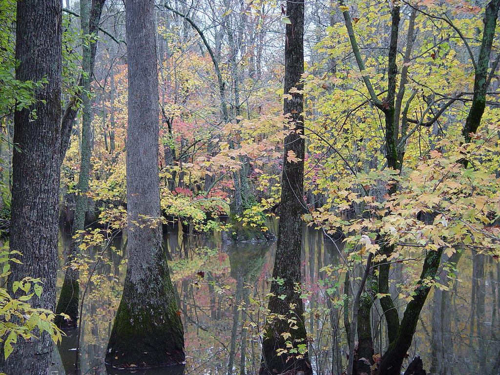 Bayou De ViewCanoeing · ~36 min drivePhoto: Unknown author, Public domain (via Wikimedia Commons)
- Lobo AccessBoat launch · ~54 min drive
 Cache RiverCanoeing · ~39 min drivePhoto: Cyndy Sims Parr, CC BY-SA 2.0 (via Wikimedia Commons)
- Bayou Meto Creek Canoe Trail W. Main AccessBoat launch · ~1h 8m drive
 Bayou Des ArcCanoeing · ~47 min drivePhoto: Brandonrush, CC BY-SA 4.0 (via Wikimedia Commons)
- Adams Lake Boat RampBoat launch · ~1h 23m drive
 Bayou MetoCanoeing · ~1h 1m drivePhoto: Richard apple, CC BY-SA 3.0 (via Wikimedia Commons)
- Adam's Lake Boat RampBoat launch · ~1h 23m drive
- Culotches Bay SloughCanoeing · ~20 min drive
- Wattensaw BayouCanoeing · ~35 min drive
Best time to visit Raft Creek
Best months: March–May and September–November. Best months have typical highs of 55–85 °F, lows of 30 °F or warmer (32 °F where the station doesn't record snow), at most one snowy day and no more than 12 wet days.
Jan
49° / 33°
9 wet
Feb
54° / 36°
9 wet
Mar
63° / 44°
10 wet
Apr
73° / 53°
10 wet
May
81° / 62°
10 wet
Jun
89° / 71°
7 wet
Jul
92° / 73°
7 wet
Aug
91° / 72°
7 wet
Sep
85° / 65°
6 wet
Oct
75° / 53°
7 wet
Nov
62° / 43°
8 wet
Dec
52° / 36°
9 wet
Typical high / low (°F) and days with rain or snow, 1991–2020. Measured at Des Arc, AR, 10.7 mi away at 200 ft. Source: NOAA NCEI U.S. Climate Normals 1991–2020.

