Beach Trail
At a glance
Beach Trail is a short, easy hike in Indiana Dunes National Park in northern Indiana, managed by State Park and Recreation. The trail is about half a mile long, with a total elevation gain of about 11 feet, so it's a gentle walk rather than a climb. Summer is the warmest stretch. Typical averages from a nearby weather station show July highs around 82°F with lows near 64°F, while September cools to highs around 74°F. Several other trails sit within a few miles. Glenwood Dunes Trails is about 1.9 miles away, and Cowles Bog Trail and Calumet Dunes Trail are each about 2.7 miles off. Paddlers can reach the Lake Michigan Water Trail about 6 miles away.
- one way
- 0.5 mi
- climb
- 11 ft
- high point
- 605 ft
- route
- Point to point
- time
- About 15 minutes
- best months
- Mid-Mar–late Jun, mid-Aug–late Nov
Where it is: Indiana Dunes National Park
Near: Porter
Best weeks to go
Mid-March to late June and mid-August to late November are usually best for hiking here.
Typical highs of 45–80°F and lows of 30°F or warmer in those weeks. Rain falls on about 40% of days at the wettest of them, so plan around showers.
Typical weather: NOAA 1991–2020 normals at Indiana Dunes Nl, IN, 3 mi away. Not a forecast.
Typical weather by monthBest time to visit Beach Trail
Best months: March–June and August–November. Best months are the ones mostly made of the best weeks for hiking: typical temperatures in its comfortable range, few snowy days and not usually wet, judged with the same limits as our good-day forecasts.
Jan
32°
18°
12 wet
Feb
36°
21°
10 wet
Mar
46°
30°
11 wet
Apr
57°
40°
11 wet
May
68°
50°
12 wet
Jun
78°
60°
11 wet
Jul
82°
64°
10 wet
Aug
80°
63°
10 wet
Sep
74°
56°
10 wet
Oct
62°
45°
11 wet
Nov
49°
34°
11 wet
Dec
37°
24°
12 wet
Typical high / low (°F) and days with rain or snow, 1991–2020. Measured at Indiana Dunes Nl, IN, 2.5 mi away at 680 ft. This station doesn't record snowfall. Source: NOAA NCEI U.S. Climate Normals 1991–2020.
Been here? Tell people how it was.
- Glenwood Dunes TrailsHiking1.9 mi
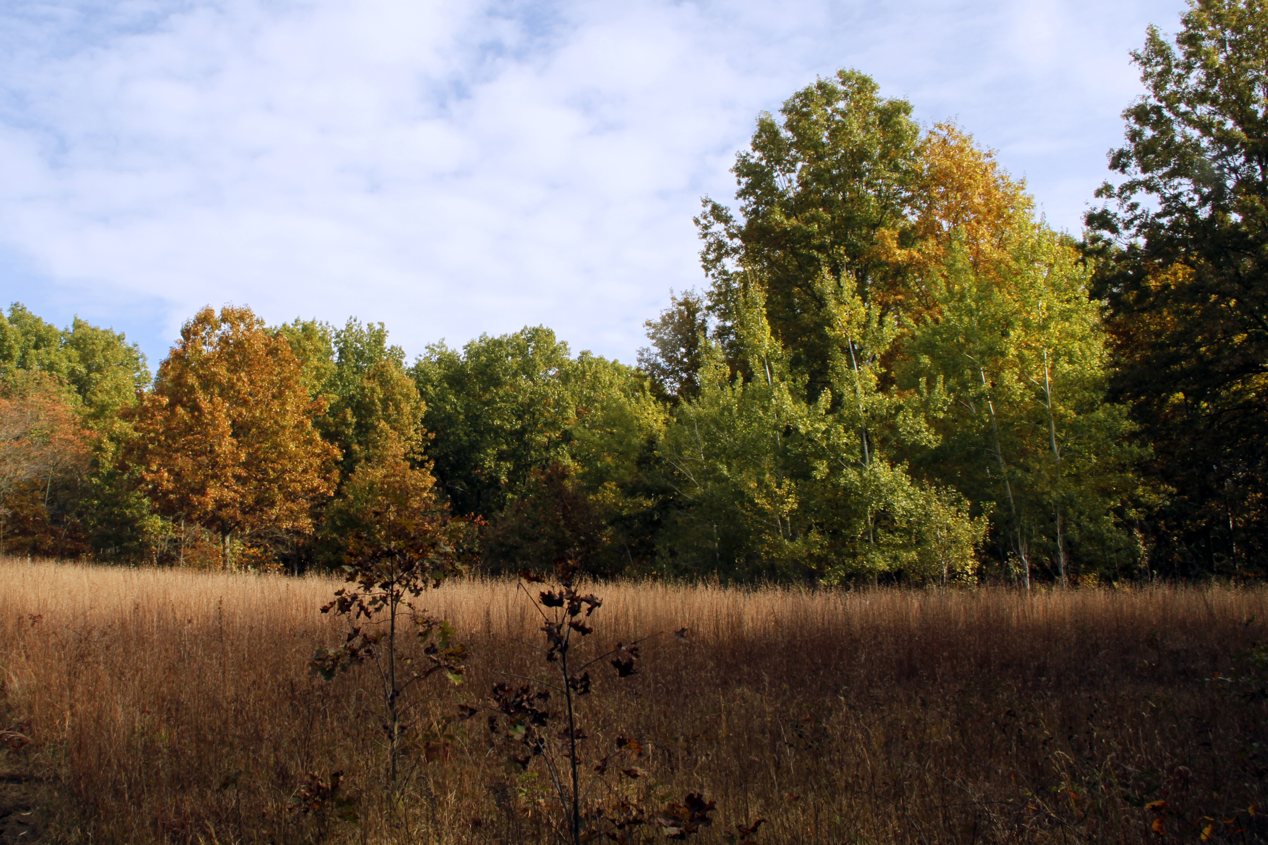 Glenwood Dunes Trail (Main)HikingPhoto: NPS Photo / Jeff Manuszak2.6 mi
- Cowles Bog TrailHiking2.7 mi
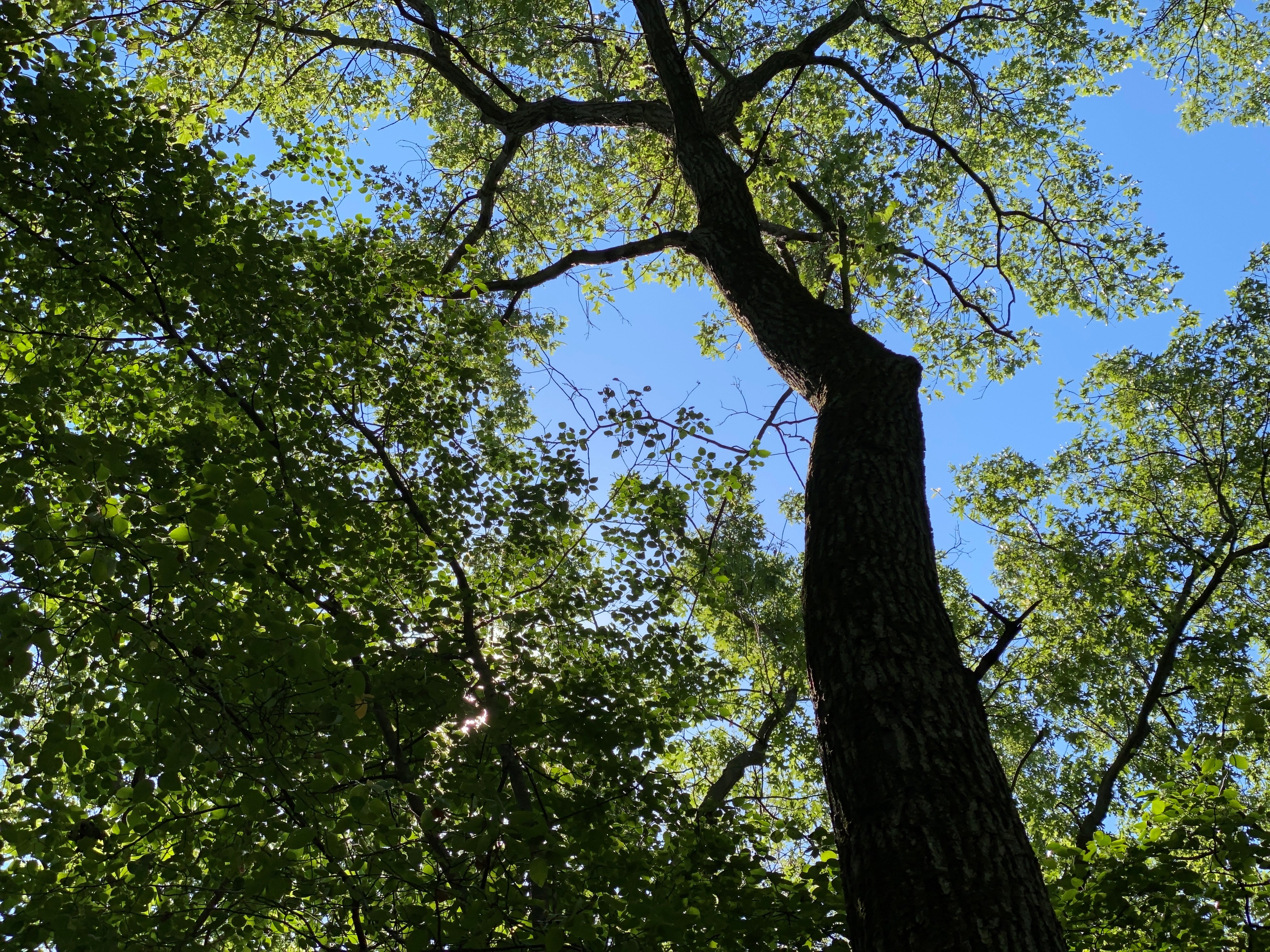 Calumet Dunes TrailHikingPhoto: NPS Photo / Steven M. Rossi2.7 mi
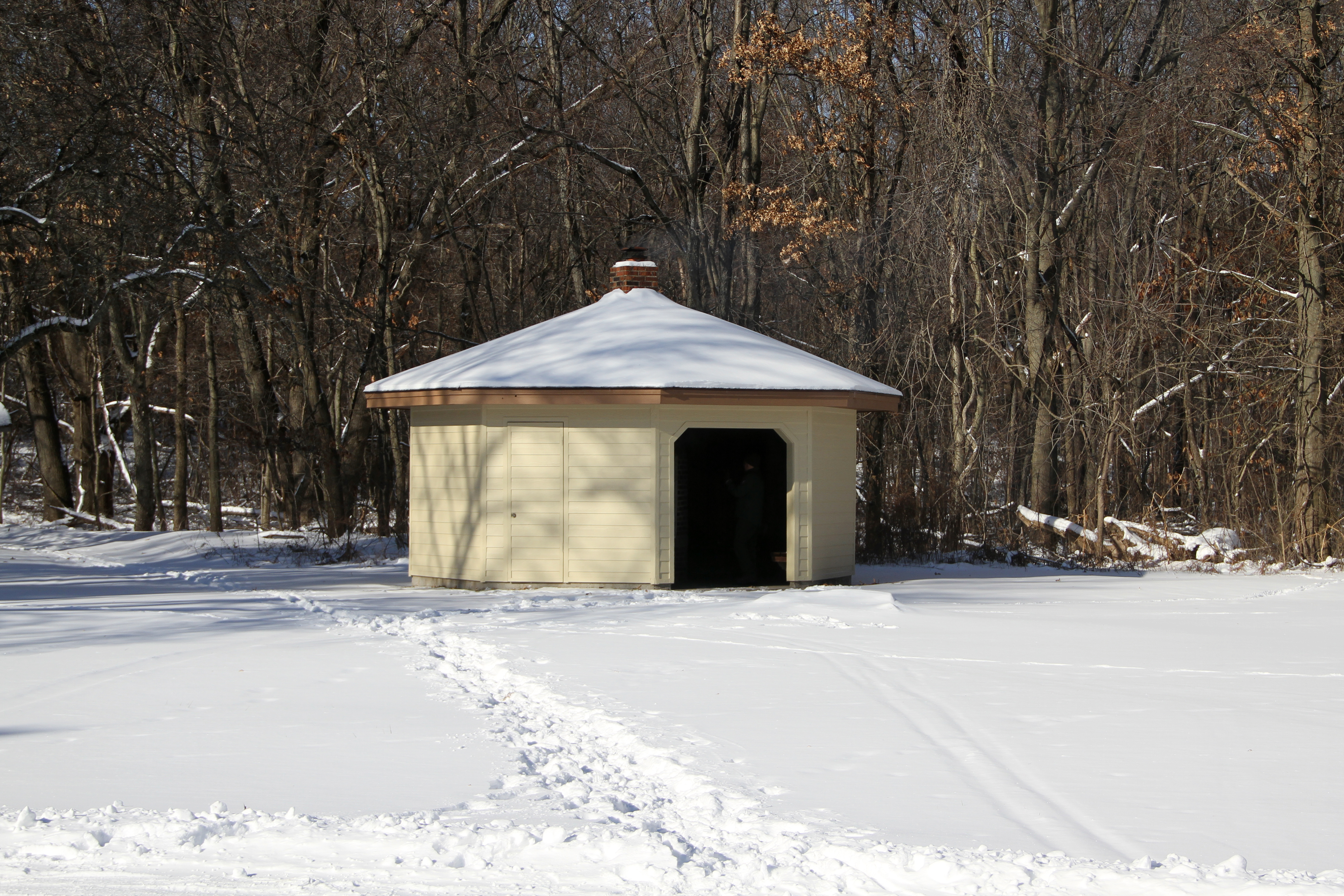 Glenwood Dunes Trail (Alternate)HikingPhoto: NPS Photo / K. George2.7 mi
- Dlt N - Howe Rd to BroadwayHiking2.9 mi
- Lake Michigan Water TrailCanoeing6.1 mi
 East Arm Little Calumet RiverCanoeingPhoto: Schmiebel, CC BY-SA 3.0 (via Wikimedia Commons)6.9 mi
- Calumet Dunes TrailHiking~5 min drive
 Dlt H - N. Lake to Midwest RdHikingPhoto: phcordner, CC BY-SA 2.0 (via Flickr)~19 min drive
- Glenwood Dunes TrailsHiking~3 min drive
- Glenwood Dunes Trail (Alternate)Hiking~5 min drive
- Glenwood Dunes Trail (Main)Hiking~5 min drive
- Dlt N - Howe Rd to BroadwayHiking~5 min drive
- Heron Rookery (West)Hiking~9 min drive
- Dlt J - Midwest to HoweHiking~11 min drive
- Adt - Indiana (North) - G - Seg 3Hiking~43 min drive
 Tolleston Dunes TrailHikingPhoto: hakkun, CC BY-SA 3.0 (via Wikimedia Commons)~14 min drive
Conditions and forecast
Daily highs and lows, wind and the chance of precipitation at Start for the next 7 days, from the Open-Meteo model.
Ask about this place
Questions about Beach Trail: conditions, access, timing. Answers say when something isn't known.
Map and trail data © OpenStreetMap contributors
