Benton Mackaye Trail
 Photo: Thomson20192, Public Domain Dedication (CC0) (via Flickr)
At a glance
The Benton Mackaye Trail is a 280-mile moderate hike in the Blue Ridge Ranger District of the Chattahoochee-Oconee National Forests in north Georgia, managed by the Forest Service. It is a point-to-point route, with the low point at about 760 feet and the high point at about 5,638 feet. The trail is not wheelchair accessible, and bikes and horses are not allowed. That makes it a foot-only route for those who plan to carry everything they need. Several shorter hikes sit close by, including Stanley Creek and Stanley Gap, each within half a mile. For an overnight stay, Sandy Bottoms - Toccoa River Campground is about 3.6 miles away, and Lake Blue Ridge offers fishing about 4.4 miles off.
- one way
- 280 mi
- high point
- 5,638 ft
- route
- Point to point
- difficulty
- Moderate
Where it is: Blue Ridge Ranger District · Chattahoochee-Oconee National Forests
Near: Blue Ridge
Been here? Tell people how it was.
- Stanley CreekHikingPhoto: Thomson20192, Public Domain Dedication (CC0) (via Flickr)0.4 mi
- Stanley GapHikingPhoto: Thomson20192, Public Domain Dedication (CC0) (via Flickr)0.5 mi
 Flat Creek LoopHikingPhoto: Olin Gilbert, CC BY 2.0 (via Flickr)1.9 mi
- Sandy Bottoms - Toccoa River CampgroundCamping3.6 mi
- Lake Blue RidgeLake fishing4.4 mi
- Ellijay RiverCanoeing6.1 mi
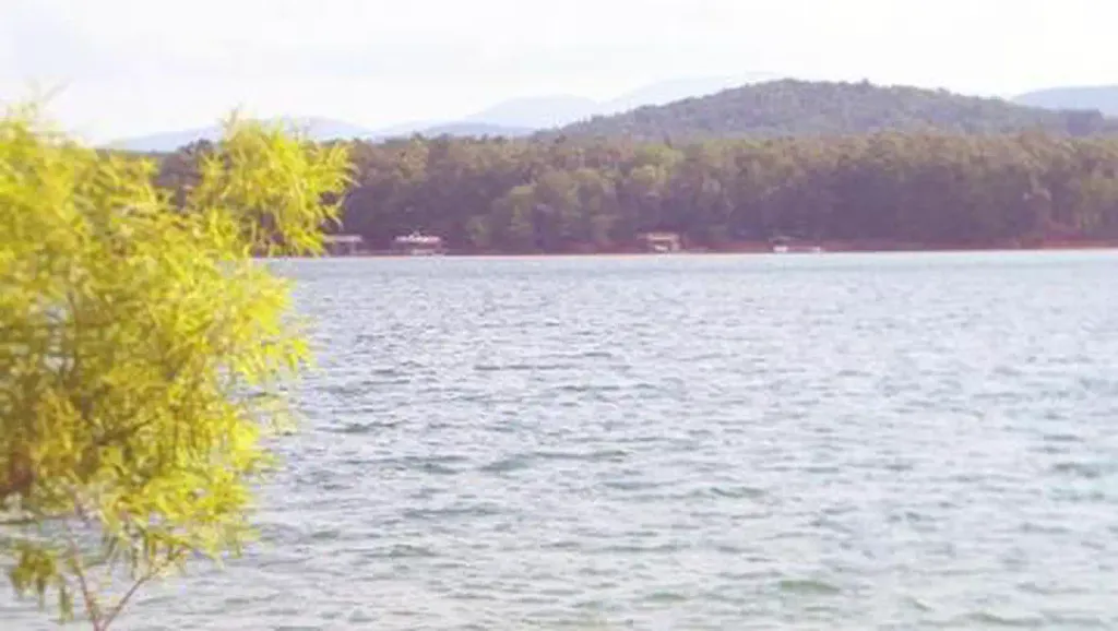 Morganton PointCampingPhoto: Recreation.gov (RIDB) / public domain6.9 mi
- Toccoa RiverRiver fishing7 mi
- Stanley CreekHikingPhoto: Thomson20192, Public Domain Dedication (CC0) (via Flickr)Next door
- Stanley GapHikingPhoto: Thomson20192, Public Domain Dedication (CC0) (via Flickr)Next door
- Lower Green Mountain (ConnectoHikingPhoto: Olin Gilbert, CC BY 2.0 (via Flickr)~5 min drive
 Appalachian TrailHikingPhoto: Thomson20192, Public Domain Dedication (CC0) (via Flickr)~22 min drive
 Morganton Point Lake TrailHikingPhoto: schwglr, CC BY-SA 2.0 (via Flickr)~11 min drive
- Flat Creek LoopHikingPhoto: Olin Gilbert, CC BY 2.0 (via Flickr)~3 min drive
- GREEN MOUNTAINHikingPhoto: Olin Gilbert, CC BY 2.0 (via Flickr)~5 min drive
- Duncan Ridge TrailHiking~18 min drive
- Long Branch Loop ConnectorHiking~4 min drive
 Toccoa Canoe TrailHikingPhoto: Lahti213, CC BY-SA 4.0 (via Wikimedia Commons)~6 min drive
Conditions and forecast
Caution todayAgency alerts are in effect for this areaUSFS · checked 3 min agoDaily highs and lows, wind and the chance of precipitation at Start for the next 7 days, from the Open-Meteo model.

Ask about this place
Questions about Benton Mackaye Trail: conditions, access, timing. Answers say when something isn't known.
Map and trail data © OpenStreetMap contributors
