Hudson Valley Greenway Trail (The Battery, Nyc to Inwood)
At a glance
The Hudson Valley Greenway Trail runs from The Battery in New York City to Inwood, a point-to-point route of about 13.6 miles with a total elevation gain of 331 feet. The trail starts at Battery Park City, about half a mile away, and climbs to a high point of 139 feet. The steepest stretch comes at about 8 miles in, where the grade reaches 12 percent. The route is rated hard, and it is not a loop. Bikes and horses are not allowed, so plan on walking the full distance. For comfortable weather, aim for late spring or early fall. Typical averages from a nearby weather station show May highs around 71°F and September highs around 76°F, with July the warmest month at about 85°F. Nearby options include The Embankment, a climbing area about 2 miles away, and the Ravine Loop and Midwood Loop hikes, both within about 4 miles. Camp Gateway - Staten Island offers camping about 7.5 miles out.
- one way
- 13.6 mi
- climb
- 331 ft
- high point
- 139 ft
- route
- Point to point
- time
- About 5 hours
- best months
- Apr–Oct
Near: New York
Best time to visit Hudson Valley Greenway Trail (The Battery, Nyc to Inwood)
Best months: April–October. Best months have typical highs of 55–85 °F, lows of 30 °F or warmer (32 °F where the station doesn't record snow), at most one snowy day and no more than 12 wet days.
Jan
40°
28°
11 wet · 3 snow
Feb
42°
30°
10 wet · 3 snow
Mar
50°
36°
11 wet · 2 snow
Apr
62°
46°
11 wet
May
71°
55°
12 wet
Jun
80°
64°
11 wet
Jul
85°
70°
11 wet
Aug
83°
69°
10 wet
Sep
76°
62°
9 wet
Oct
65°
51°
10 wet
Nov
54°
42°
10 wet
Dec
44°
34°
11 wet · 2 snow
Typical high / low (°F) and days with rain or snow, 1991–2020. Measured at New York Cntrl Pk Twr, NY, 5.7 mi away at 130 ft. Source: NOAA NCEI U.S. Climate Normals 1991–2020.
Been here? Tell people how it was.
- The EmbankmentRock climbing2 mi
 Ravine LoopHikingPhoto: Brooklyn Museum, No restrictions (via Wikimedia Commons)3.8 mi
 Midwood LoopHikingPhoto: ilgar.mit, Public Domain Dedication (CC0) (via Flickr)3.9 mi
- Lullwater TrailHikingPhoto: ilgar.mit, Public Domain Dedication (CC0) (via Flickr)4.1 mi
- Tooth RockRock climbing4.9 mi
- Saw Mill Creek Canoe TrailCanoeing5.8 mi
- Camp Gateway - Staten IslandCamping7.5 mi
- New York City Water TrailCanoeing8.7 mi
- Ravine LoopHikingPhoto: Brooklyn Museum, No restrictions (via Wikimedia Commons)~6 min drive
- Peninsula TrailHiking~7 min drive
- Midwood LoopHikingPhoto: ilgar.mit, Public Domain Dedication (CC0) (via Flickr)~7 min drive
- Hudson River Waterfront WalkwayHiking~7 min drive
- Lullwater TrailHikingPhoto: ilgar.mit, Public Domain Dedication (CC0) (via Flickr)~7 min drive
 Marine Park Salt Marsh Nature TrailHikingPhoto: edenpictures, CC BY 2.0 (via Flickr)~14 min drive
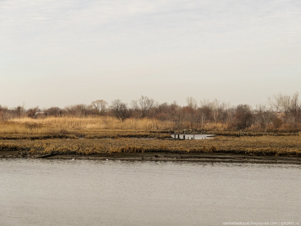 Spring Creek Blue TrailHikingPhoto: samsebeskazal, CC BY-SA 2.0 (via Flickr)~15 min drive
- Gull TrailHikingPhoto: samsebeskazal, CC BY-SA 2.0 (via Flickr)~15 min drive
- Great Blue Heron LoopHikingPhoto: samsebeskazal, CC BY-SA 2.0 (via Flickr)~15 min drive
 Red TrailHikingPhoto: edenpictures, CC BY 2.0 (via Flickr)~16 min drive
Conditions and forecast
Daily highs and lows, wind and the chance of precipitation at Start for the next 7 days, from the Open-Meteo model.
Ask about this place
Questions about Hudson Valley Greenway Trail (The Battery, Nyc to Inwood): conditions, access, timing. Answers say when something isn't known.
Local outfitters
- Pier 13 Hoboken3 mi away
Not on Roamze yet. Their page has how to reach them.
Map and trail data © OpenStreetMap contributors
