Lullwater Trail
 Photo: ilgar.mit, Public Domain Dedication (CC0) (via Flickr)
- 0.9 mi
- loop
- 36 ft
- climb
- 97 ft
- high point
- Loop
- route
- Apr–Oct
- best months
Lullwater Trail is a short, easy hike in Prospect Park in Brooklyn, New York, on city-managed land. The route is 0.88 miles long, with a total elevation gain of 36 feet and a total loss of 115 feet, so it's a gentle walk that can be done in about half an hour. The trail is a low-impact outing. Bikes are not allowed, and the climb is mostly flat, with the steepest stretch at about 0.28 miles in, where the grade reaches 4 percent. The high point is 97 feet, and the low point is 64 feet. For comfortable weather, aim for late spring or early fall. Typical averages from a nearby weather station show May highs around 70°F and September highs around 77°F, while July averages about 85°F and January highs sit near 40°F. Several other trails start close by. Peninsula Trail is about 0.1 mile away, Midwood Loop is about 0.4 mile away, and Ravine Loop is about 0.5 mile away. Camp Gateway - Staten Island, a campground, is about 6 miles away.
Local outfitters
- Pier 13 Hoboken7 mi away
Not on Roamze yet. Their page has how to reach them.
Best time to go · Apr–Oct
Best time to visit Lullwater Trail
Best months: April–October. Best months have typical highs of 55–85 °F, lows of 30 °F or warmer (32 °F where the station doesn't record snow), at most one snowy day and no more than 12 wet days.
Jan
40° / 27°
11 wet · 4 snow
Feb
42° / 29°
9 wet · 3 snow
Mar
50° / 35°
11 wet · 2 snow
Apr
61° / 45°
11 wet
May
70° / 54°
11 wet
Jun
79° / 64°
10 wet
Jul
85° / 70°
10 wet
Aug
83° / 69°
9 wet
Sep
77° / 62°
9 wet
Oct
65° / 51°
9 wet
Nov
54° / 41°
9 wet
Dec
45° / 33°
10 wet · 2 snow
Typical high / low (°F) and days with rain or snow, 1991–2020. Measured at Ny Ave V Brooklyn, NY, 4.5 mi away at 20 ft. Source: NOAA NCEI U.S. Climate Normals 1991–2020.
Keep exploring — more trails worth the drive
Photo: ilgar.mit, Public Domain Dedication (CC0) (via Flickr)Midwood Loop
Next door
0.46-mile point-to-point trail in New York with 74 ft gain.
HIKE
Hudson Valley Greenway Trail (The Battery, Nyc to Inwood)
~7 min drive
13.55-mile point-to-point trail from The Battery to Inwood in New York.
HIKE
Hudson River Waterfront Walkway
~13 min drive
6.02-mile out-and-back trail along the Hudson River waterfront in New Jersey.
 Photo: Brooklyn Museum, No restrictions (via Wikimedia Commons)
Ravine Loop
Next door
0.43-mile point-to-point trail in New York with 29 ft gain.
 Photo: edenpictures, CC BY 2.0 (via Flickr)
Red Trail
~9 min drive
0.74-mile out-and-back hike on Red Trail in New York with 118 ft of elevation gain.
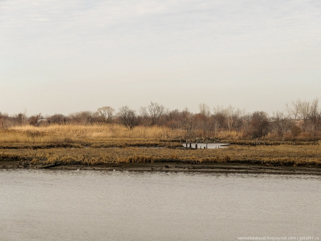 Photo: samsebeskazal, CC BY-SA 2.0 (via Flickr)
Spring Creek Blue Trail
~9 min drive
1.05-mile point-to-point trail in New York with 74 ft gain.
Photo: samsebeskazal, CC BY-SA 2.0 (via Flickr)Gull Trail
~10 min drive
3.46-mile out-and-back hike in New York with 475 ft elevation gain
Photo: samsebeskazal, CC BY-SA 2.0 (via Flickr)Great Blue Heron Loop
~10 min drive
1.55-mile loop trail in New York with 183 ft elevation gain.
 Photo: Boss Tweed, CC BY 2.0 (via Flickr)
Jamaica Walk
~13 min drive
0.68-mile out-and-back trail in New York with 8 ft of elevation gain.
 Photo: timhettler, CC BY 2.0 (via Flickr)
North
~13 min drive
0.92-mile out-and-back trail in New York with 45 ft of elevation gain.
Also worth it near here

Route details
- Distance
- 0.9 mi
- Climbing
- About 36 ft
- Summit
- 115 ft
- Difficulty
- Easy
- Time
- About 0.5 hours
Questions about this route
How long is the Lullwater Trail on Breeze Hill?
About 0.9 mi.
How much elevation gain is on the Lullwater Trail?
About 36 ft of climbing round trip.
How hard is the Lullwater Trail?
It is rated easy.
How long does the Lullwater Trail take?
About 0.5 hours round trip.
Conditions and forecast on Breeze Hill
Daily highs and lows, wind and the chance of precipitation at the summit and route start for the next 7 days, from the Open-Meteo model.
Map and trail data © OpenStreetMap contributors
