Handsome Hollow Trail
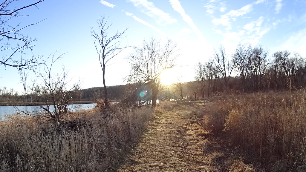
 Photo: atlnature, CC BY 2.0 (via Flickr)
At a glance
Handsome Hollow Trail is a 0.53-mile point-to-point hike in Iowa's Fontenelle Forest Association Local Resource Management Area, a private land unit. The trail rises from about 1,000 feet to a high point of 1,161 feet, with a total elevation gain of 173 feet. The steepest stretch comes early, at about 18% grade, and the route is rated moderate. The most comfortable months for a visit are typically late spring and early fall. Typical averages from the nearby Omaha Eppley Airfield weather station show May highs around 75°F and September highs around 79°F, with July peaking near 88°F. The trail is not wheelchair accessible, and dogs and bikes are not allowed. The trip takes about half an hour. Oak Trail lies 0.2 miles away, and Bladdernut Trail is 0.5 miles off. Across the state line in Nebraska, Ridge Trail and Riverview Boardwalk are each about 0.9 miles away.
- one way
- 0.5 mi
- climb
- 173 ft
- high point
- 1,161 ft
- route
- Point to point
- time
- About 15 minutes
- best months
- Mid-Mar–early Jun, early Sep–mid-Nov
Where it is: Fontenelle Forest Association Local Resource Management Area
Near: Bellevue
Best weeks to go
Mid-March to early June and early September to mid-November are usually best for hiking here.
Typical highs of 51–80°F and lows of 30°F or warmer in those weeks. Rain falls on about 40% of days at the wettest of them, so plan around showers.
Typical weather: NOAA 1991–2020 normals at Omaha Eppley Airfield, NE, 9 mi away. Not a forecast.
Typical weather by monthBest time to visit Handsome Hollow Trail
Best months: March–May and September–November. Best months are the ones mostly made of the best weeks for hiking: typical temperatures in its comfortable range, few snowy days and not usually wet, judged with the same limits as our good-day forecasts.
Jan
34°
15°
7 wet
Feb
39°
19°
7 wet
Mar
52°
30°
8 wet
Apr
64°
41°
11 wet
May
75°
53°
12 wet
Jun
84°
63°
11 wet
Jul
88°
68°
10 wet
Aug
86°
66°
9 wet
Sep
79°
56°
8 wet
Oct
65°
43°
7 wet
Nov
50°
30°
6 wet
Dec
38°
20°
7 wet
Typical high / low (°F) and days with rain or snow, 1991–2020. Measured at Omaha Eppley Airfield, NE, 8.9 mi away at 982 ft. This station doesn't record snowfall. Source: NOAA NCEI U.S. Climate Normals 1991–2020.
Been here? Tell people how it was.
- Oak TrailHiking0.2 mi
- Bladdernut TrailHiking0.5 mi
- Ridge TrailHiking0.9 mi
 Mormon HollowHikingPhoto: IowaMarkMD, CC BY 3.0 (via Wikimedia Commons)0.9 mi
 Prairie TrailHikingPhoto: midnightcomm, CC BY 2.0 (via Flickr)0.9 mi
- Riverview BoardwalkHiking0.9 mi
- Hackberry TrailHiking0.9 mi
- Papillion CreekCanoeing7.5 mi
- Walking Club TrailHikingPhoto: atlnature, CC BY 2.0 (via Flickr)Next door
- Signal Ridge TrailHikingPhoto: IowaMarkMD, CC BY 3.0 (via Wikimedia Commons)~2 min drive
- Grey Squirrel TrailHiking~2 min drive
- Adt - Iowa - K - Seg 6Hiking~10 min drive
- Cottonwood TrailHikingPhoto: atlnature, CC BY 2.0 (via Flickr)~1 min drive
- Hackberry TrailHiking~2 min drive
- Prairie TrailHikingPhoto: midnightcomm, CC BY 2.0 (via Flickr)~1 min drive
- Mountain BikeHiking~4 min drive
- Mormon HollowHikingPhoto: IowaMarkMD, CC BY 3.0 (via Wikimedia Commons)~1 min drive
- West Oak Forest EastHiking~14 min drive
Conditions and forecast
Daily highs and lows, wind and the chance of precipitation at Start for the next 7 days, from the Open-Meteo model.

Ask about this place
Questions about Handsome Hollow Trail: conditions, access, timing. Answers say when something isn't known.
Map and trail data © OpenStreetMap contributors
