Ridge Trail
- 0.3 mi
- loop
- 29 ft
- climb
- 1,152 ft
- high point
- Loop
- route
- Apr–Jun, Aug–Oct
- best months
Clear at last check
Weather is good · OpenWeather · checked 15 h ago
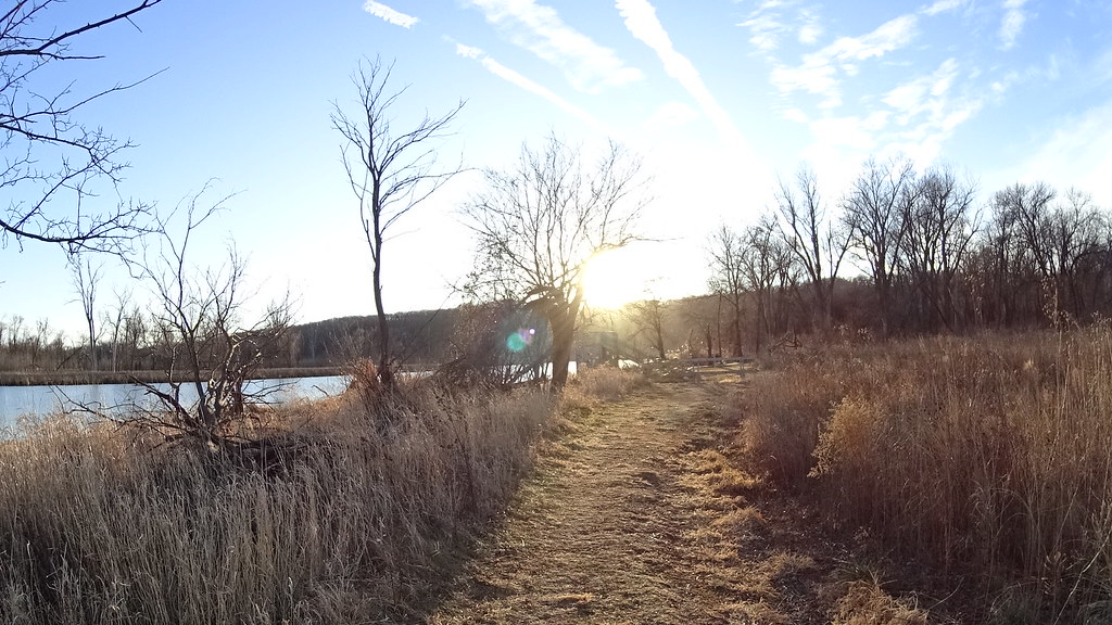
Ridge Trail is a short loop of 0.32 miles on private land within the Fontenelle Forest Association's Local Resource Management Area in eastern Nebraska. The trail rises about 29 feet from a low of 1,086 feet to a high of 1,152 feet, and its steepest stretch comes at 0.22 miles in with an 11% grade. It's an easy hike that fits quickly into a day of exploring nearby trails. Late spring and early fall are the most comfortable times to go. Typical averages from a nearby weather station run to highs around 72°F in May and 77°F in September, with July highs near 86°F. Riverview Boardwalk and Hackberry Trail both sit about 0.1 mile away. Oak Trail and Handsome Hollow Trail are roughly 0.7 to 0.9 miles off.
- Riverview BoardwalkHiking0.1 mi
- Hackberry TrailHiking0.1 mi
- Oak TrailHiking0.7 mi
 Handsome Hollow TrailHikingPhoto: atlnature, CC BY 2.0 (via Flickr)0.9 mi
- Bladdernut TrailHiking0.9 mi
- Grey Squirrel TrailHiking1.5 mi
 Mormon HollowHikingPhoto: IowaMarkMD, CC BY 3.0 (via Wikimedia Commons)1.5 mi
- Papillion CreekCanoeing6.7 mi
Source: Roamze catalog (indexable pages within 10 miles, PostGIS distance)
- Walking Club TrailHiking · ~1 min drivePhoto: atlnature, CC BY 2.0 (via Flickr)
- Handsome Hollow TrailHiking · ~1 min drivePhoto: atlnature, CC BY 2.0 (via Flickr)
- Grey Squirrel TrailHiking · ~3 min drive
- Adt - Iowa - K - Seg 6Hiking · ~10 min drive
- Cottonwood TrailHiking · ~2 min drivePhoto: atlnature, CC BY 2.0 (via Flickr)
- Signal Ridge TrailHiking · ~3 min drivePhoto: IowaMarkMD, CC BY 3.0 (via Wikimedia Commons)
 Prairie TrailHiking · ~3 min drivePhoto: midnightcomm, CC BY 2.0 (via Flickr)
- Hackberry TrailHiking · Next door
- Mormon HollowHiking · ~3 min drivePhoto: IowaMarkMD, CC BY 3.0 (via Wikimedia Commons)
- Mountain BikeHiking · ~6 min drive
Best time to visit Ridge Trail
Best months: April–June and August–October. Best months have typical highs of 55–85 °F, lows of 30 °F or warmer (32 °F where the station doesn't record snow), at most one snowy day and no more than 12 wet days.
Jan
32° / 13°
Feb
37° / 17°
Mar
50° / 28°
Apr
63° / 39°
May
72° / 51°
Jun
81° / 62°
Jul
86° / 67°
Aug
83° / 63°
Sep
77° / 54°
Oct
65° / 41°
Nov
49° / 29°
Dec
37° / 18°
Typical high / low (°F) and days with rain or snow, 1991–2020. Measured at Springfield 7e, NE, 9.4 mi away at 1,065 ft. This station doesn't record snowfall. Source: NOAA NCEI U.S. Climate Normals 1991–2020.

Map and trail data © OpenStreetMap contributors
