Grey Squirrel Trail
- 1.2 mi
- one way
- 173 ft
- climb
- 1,230 ft
- high point
- Point to point
- route
- Apr–Jun, Aug–Oct
- best months
Grey Squirrel Trail is a 1.2-mile point-to-point hike in Fontenelle Forest Association Local Resource Management Area in Iowa, on private land. It rises from about 1,050 feet to about 1,230 feet, with a total elevation gain of 173 feet and a steepest grade of 12% around the 0.86-mile mark. The trail is rated hard, and bikes are not allowed. Late spring and early fall are the most comfortable times to go. Typical averages from a nearby weather station run from highs around 72°F in May to 77°F in September, with July peaking near 86°F. The trail sits close to several other routes. Signal Ridge Trail is just 0.1 mile away, and Mormon Hollow and Prairie Trail are each about 0.4 mile off. Riverview Boardwalk, across the state line in Nebraska, is about 1.5 miles away.
 Signal Ridge TrailHikingPhoto: IowaMarkMD, CC BY 3.0 (via Wikimedia Commons)0.1 mi
- Mormon HollowHikingPhoto: IowaMarkMD, CC BY 3.0 (via Wikimedia Commons)0.4 mi
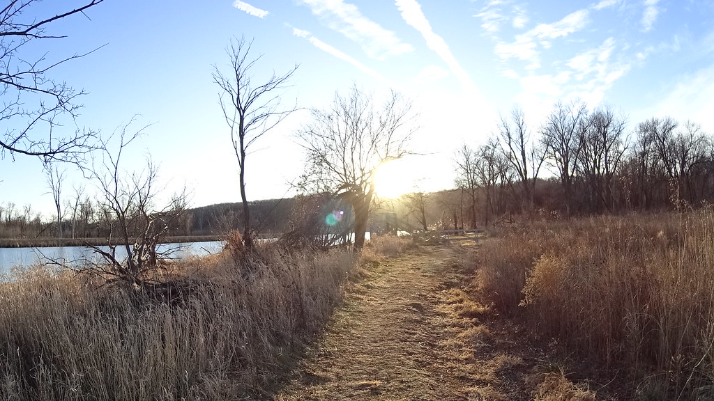 Prairie TrailHikingPhoto: midnightcomm, CC BY 2.0 (via Flickr)0.4 mi
- Bladdernut TrailHiking0.6 mi
 Handsome Hollow TrailHikingPhoto: atlnature, CC BY 2.0 (via Flickr)1 mi
- Oak TrailHiking1.2 mi
- Riverview BoardwalkHiking1.5 mi
- Papillion CreekCanoeing7.6 mi
Source: Roamze catalog (indexable pages within 10 miles, PostGIS distance)
- Signal Ridge TrailHiking · Next doorPhoto: IowaMarkMD, CC BY 3.0 (via Wikimedia Commons)
- Mormon HollowHiking · Next doorPhoto: IowaMarkMD, CC BY 3.0 (via Wikimedia Commons)
- Adt - Iowa - K - Seg 6Hiking · ~12 min drive
- Handsome Hollow TrailHiking · ~2 min drivePhoto: atlnature, CC BY 2.0 (via Flickr)
- Prairie TrailHiking · Next doorPhoto: midnightcomm, CC BY 2.0 (via Flickr)
- Hackberry TrailHiking · ~3 min drive
- Cottonwood TrailHiking · ~1 min drivePhoto: atlnature, CC BY 2.0 (via Flickr)
- Mountain BikeHiking · ~5 min drive
- Walking Club TrailHiking · ~2 min drivePhoto: atlnature, CC BY 2.0 (via Flickr)
- West Oak Forest EastHiking · ~13 min drive
Best time to visit Grey Squirrel Trail
Best months: April–June and August–October. Best months have typical highs of 55–85 °F, lows of 30 °F or warmer (32 °F where the station doesn't record snow), at most one snowy day and no more than 12 wet days.
Jan
32° / 13°
Feb
37° / 17°
Mar
50° / 28°
Apr
63° / 39°
May
72° / 51°
Jun
81° / 62°
Jul
86° / 67°
Aug
83° / 63°
Sep
77° / 54°
Oct
65° / 41°
Nov
49° / 29°
Dec
37° / 18°
Typical high / low (°F) and days with rain or snow, 1991–2020. Measured at Springfield 7e, NE, 9.2 mi away at 1,065 ft. This station doesn't record snowfall. Source: NOAA NCEI U.S. Climate Normals 1991–2020.

Map and trail data © OpenStreetMap contributors
