Free — you'll pick up right here.
Watch this water
Sign up to watch it — saving subscribes you to gate, closure and report changes.
Tennessee
Ocoee River Area
No verdict for this water
We won't guess. Here is exactly what we do and don't know.
What we do know
Inside Cherokee National Forest
2 managing-area boundaries mapped — agency alerts for them feed this page automatically.
Boundary data
What's missing
No access route mapped
We don't yet know which road reaches this trailhead, so we can't tell you if it's gated.
Nobody's filed a report here yet — be the first.
Why you'll love it

Here's your day on the water, mapped
Ocoee River Area
AI-suggested draft · review before you go
Gear for the day
Photos
Directions & GPX
About this water
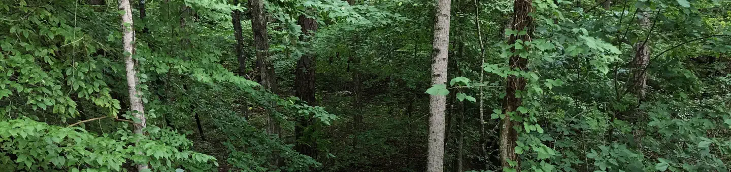
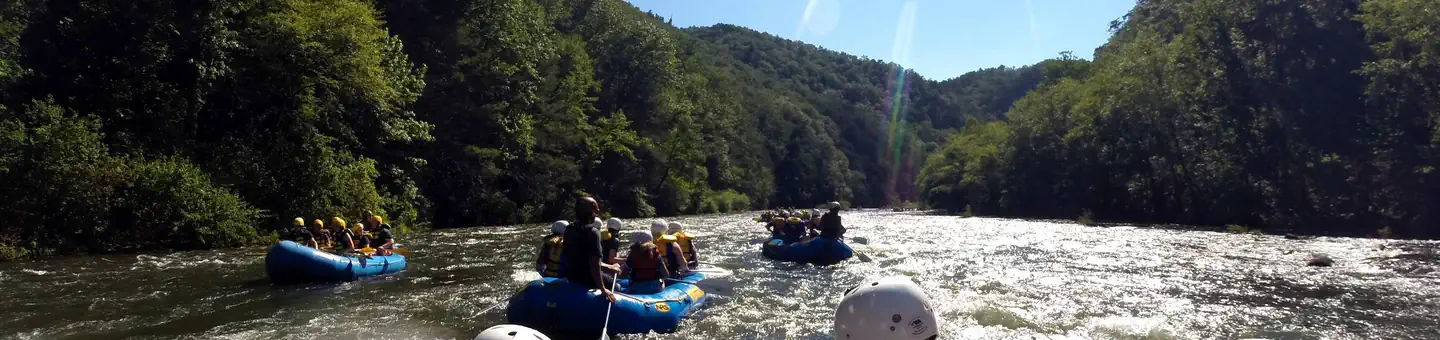
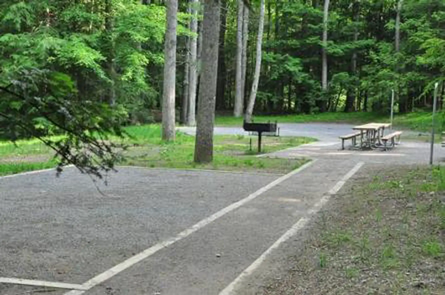
World class whitewater, mountain biking trail systems, environmental education programs, highly developed camping, and scenic byways are a few activities featured in the Ocoee River area. Local outfitters offer rafting excursions in the Ocoee River’s world-class whitewater. The Ocoee Whitewater Center is a hub for outdoor adventure and offers regional information, environmental education, trails and picnic sites. Bike the 30-mile Tanasi Trail complex and trails at Chilhowee Recreation Area or take a scenic drive along the Ocoee Scenic Byway (US 64 and Forest Road 77). Popular camping areas include Parksville and Thunder Rock Campgrounds, as well as Chilhowee Recreation Area.Ocoee River Area MapOcoee River Area Guide
Add to a trip & share
Keep exploring — more waters worth the drive
Parksville Lake Rv Campground
~4 min drive
A worthwhile stop near Tennessee.
Thunder Rock Campground
~6 min drive
A worthwhile stop near Tennessee.
Chilhowee Group Camp
~9 min drive
A worthwhile stop near Tennessee.
Doll Mountain Day Use Area Shelter
~59 min drive
A worthwhile stop near Georgia.
Ocoee River Whitewater Section
~12 min drive
Moderate
Lake Blue Ridge
~33 min drive
Easy
Cohutta Wilderness - Jacks River
~23 min drive
Hard
Quinn Springs Pavilion
~15 min drive
A worthwhile stop near Tennessee.
McKamy Lake
~9 min drive
A worthwhile stop near Tennessee.
Chilhowee Campground
~9 min drive
A worthwhile stop near Tennessee.
