Chehalem Creek
 Photo: Finetooth, CC BY-SA 3.0 (via Wikimedia Commons)
At a glance
Chehalem Creek is a 13-mile paddling stretch near Newberg, Oregon, about 1.7 miles from the town of Sunnycrest. It flows year-round, with an average flow of about 73 cubic feet per second and a gradient of about 11.5 feet per mile, according to USGS models. Summer is the most comfortable time to paddle. Typical averages from a nearby weather station show July and August highs around 81°F with only about four wet days a month, while winter months bring highs in the mid-40s and rain on most days. Several trails sit within a few miles, including Harvey Creek Trail at 2.5 miles and Guadalupe Loop at 3.4 miles. Paddlers can also look to McFee Creek, about 6.2 miles away, or Yamhill Creek, about 7.1 miles away.
- distance
- 12.9 mi
- high point
- 215 ft
- best months
- May–Sep
Near: Newberg
Best time to visit Chehalem Creek
Best months: May–September. Best months have typical highs of 55–85 °F, lows of 30 °F or warmer (32 °F where the station doesn't record snow), at most one snowy day and no more than 12 wet days.
Jan
45°
35°
19 wet
Feb
50°
36°
16 wet
Mar
55°
38°
17 wet
Apr
61°
41°
15 wet
May
66°
47°
12 wet
Jun
72°
51°
8 wet
Jul
81°
56°
4 wet
Aug
81°
56°
4 wet
Sep
75°
52°
7 wet
Oct
62°
45°
13 wet
Nov
51°
39°
18 wet
Dec
44°
34°
20 wet
Typical high / low (°F) and days with rain or snow, 1991–2020. Measured at Rex 1 S, OR, 6.2 mi away at 515 ft. Source: NOAA NCEI U.S. Climate Normals 1991–2020.
Been here? Tell people how it was.
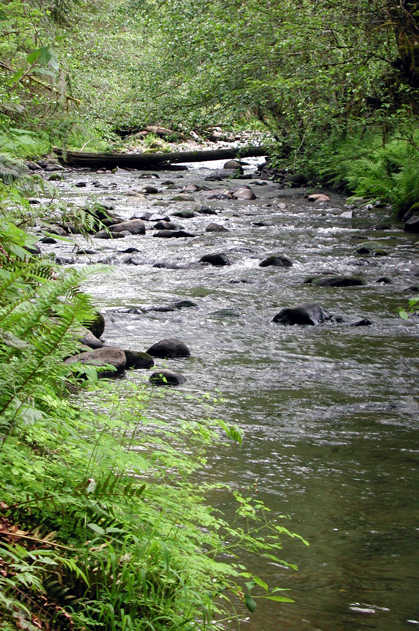 North Yamhill RiverCanoeingPhoto: Finetooth, CC BY-SA 3.0 (via Wikimedia Commons)~18 min drive
- Dayton Boat LandingBoat launch~12 min drive
 Tualatin RiverCanoeingPhoto: M.O. Stevens, CC BY-SA 3.0 (via Wikimedia Commons)~25 min drive
- Farmington Paddle LaunchBoat launch~17 min drive
 Dairy CreekCanoeingPhoto: M.O. Stevens, CC BY 3.0 (via Wikimedia Commons)~26 min drive
- Boones Ferry County Boat LaunchBoat launch~22 min drive
 Fanno CreekCanoeingPhoto: Finetooth, CC BY-SA 3.0 (via Wikimedia Commons)~28 min drive
- George Rogers ParkBoat launch~33 min drive
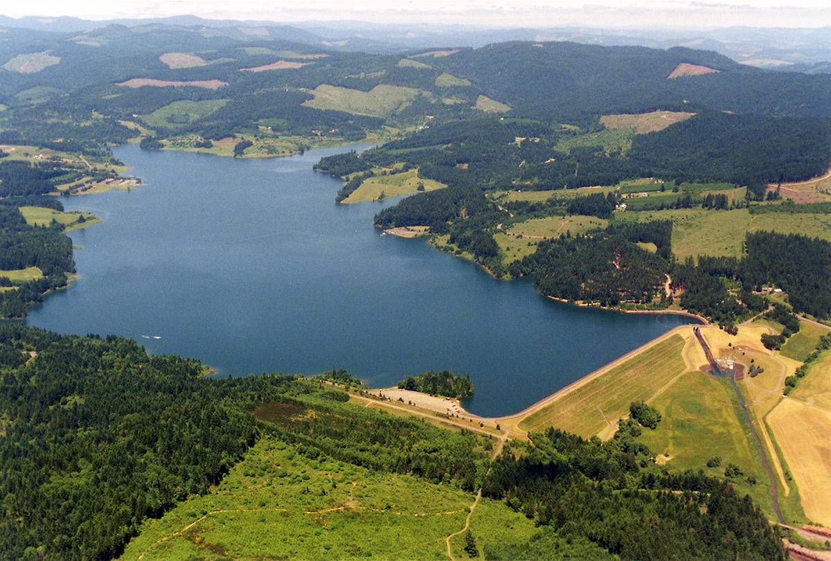 Scoggins CreekCanoeingPhoto: Dave Walsh, United States Bureau of Reclamation, Public domain (via Wikimedia Commons)~29 min drive
- Sellwood Riverfront ParkBoat launch~36 min drive
Conditions and forecast
Daily highs and lows, wind and the chance of precipitation at Start for the next 7 days, from the Open-Meteo model.

Ask about this place
Questions about Chehalem Creek: conditions, access, timing. Answers say when something isn't known.
Local outfitters
- Adventures Without Limits14 mi away
- Tualatin Riverkeepers14 mi away
Not on Roamze yet. Their page has how to reach them.
