Rio de los Pinos
At a glance
Rio de los Pinos is a 38-mile paddling stretch near Antonito, Colorado. It is ephemeral and may run dry in some seasons. USGS models an average flow of about 115 cfs and a gradient of about 77.2 feet per mile. Land along it is managed by the U.S. Forest Service.
- distance
- 38.1 mi
- high point
- 10,920 ft
Where it is: Conejos Peak Ranger District · Rio Grande National Forest
Near: Chama
Been here? Tell people how it was.
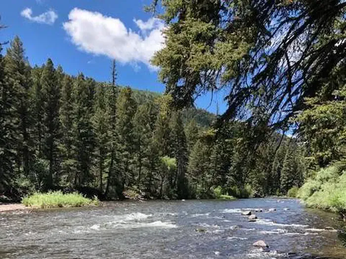 Aspen Glade (Rio Grande National Forest, CO)CampingPhoto: Recreation.gov (RIDB) / public domain5.2 mi
- Aspen Glade CampgroundCamping5.3 mi
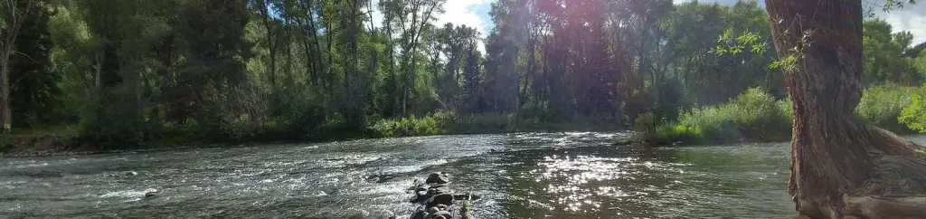 MogoteCampingPhoto: Recreation.gov (RIDB) / public domain5.3 mi
- CdtHiking5.4 mi
- LagunitasCamping8.1 mi
- Cdt - New Mexico SectionHiking9 mi
- Dixie Creek AccessHiking9.3 mi
- Red Lake Cut-OffHiking9.5 mi
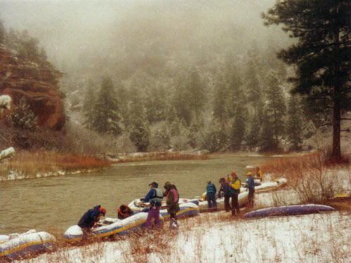 Rio ChamaCanoeingPhoto: Public domain (via Wikimedia Commons)~26 min drive
- John Dunn Bridge Boat LaunchBoat launch~1h 17m drive
 Conejos RiverCanoeingPhoto: JustTooLazy, CC BY 2.0 (via Wikimedia Commons)~31 min drive
- Chavez Canyon Boating SiteBoat launch~1h 24m drive
 Navajo RiverCanoeingPhoto: Dicklyon, CC BY-SA 4.0 (via Wikimedia Commons)~41 min drive
- Trujillo Meadows Boating SiteBoat launch~18 min drive
 Alamosa RiverCanoeingPhoto: Jeffrey Beall, CC BY 4.0 (via Wikimedia Commons)~42 min drive
- Platoro Reservoir Boating SiteBoat launch~49 min drive
 Rio BlancoCanoeingPhoto: Dicklyon, CC BY-SA 4.0 (via Wikimedia Commons)~59 min drive
- Beaver Creek Reservoir Boating SiteBoat launch~1h 18m drive
Conditions and forecast
Caution at last checkAgency alerts are in effect for this areaUSFS · checked 22 h agoDaily highs and lows, wind and the chance of precipitation at Start for the next 7 days, from the Open-Meteo model.

Ask about this place
Questions about Rio de los Pinos: conditions, access, timing. Answers say when something isn't known.
Local outfitters
- Wilderness Journeys Pagosa47 mi away
Not on Roamze yet. Their page has how to reach them.
