Greenwood Branch
At a glance
Greenwood Branch is a paddling spot in Brendan T. Byrne State Forest in New Jersey, managed by the State Department of Natural Resources. It sits within the state forest, and the paddling here is short enough to make it easy to pair with a hike or another water route in the area. For paddling weather, late spring and early fall tend to be the most comfortable. Typical averages from a nearby weather station run from highs around 72°F in May to about 76°F in September, while July averages a high of 85°F. The station sits at a similar elevation to the branch, so these figures are a fair guide to conditions on the water. Several other paddling and hiking options are within a few miles. Pole Bridge Branch is about 4.7 miles away, and South Branch Rancocas Creek is about 6.2 miles off. Sand Roads and Green Loop, both hikes, are about 4 miles from the branch.
- distance
- 0.0 mi
- high point
- 55 ft
- best months
- Early Apr–late Oct
Where it is: Brendan T. Byrne State Forest
Near: Philadelphia
Best weeks to go
Early April to late October is usually best for paddling here.
Typical highs of 61–86°F and lows of 39°F or warmer in those weeks. Rain falls on about 45% of days at the wettest of them, so plan around showers.
Typical weather: NOAA 1991–2020 normals at Philadelphia/Mt Holly Wfo, NJ, 14 mi away. Not a forecast.
Typical weather by monthBest time to visit Greenwood Branch
Best months: April–October. Best months are the ones mostly made of the best weeks for paddling: typical temperatures in its comfortable range, few snowy days and not usually wet, judged with the same limits as our good-day forecasts.
Jan
39°
22°
12 wet · 4 snow
Feb
42°
23°
11 wet · 4 snow
Mar
50°
31°
12 wet · 2 snow
Apr
63°
41°
13 wet
May
72°
51°
14 wet
Jun
81°
61°
12 wet
Jul
85°
66°
12 wet
Aug
83°
64°
12 wet
Sep
76°
57°
9 wet
Oct
64°
45°
10 wet
Nov
54°
34°
11 wet · 1 snow
Dec
44°
28°
12 wet · 2 snow
Typical high / low (°F) and days with rain or snow, 1991–2020. Measured at Philadelphia/Mt Holly Wfo, NJ, 14 mi away at 63 ft. Source: NOAA NCEI U.S. Climate Normals 1991–2020.
Been here? Tell people how it was.
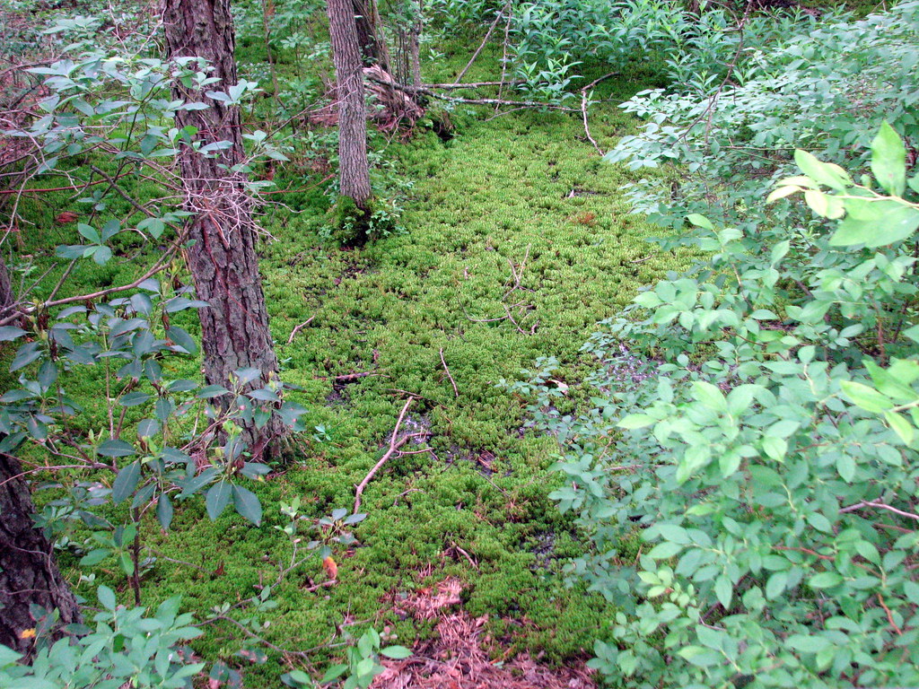 Sand RoadsHikingPhoto: bobistraveling, CC BY 2.0 (via Flickr)4 mi
- Green LoopHiking4.3 mi
- Red LoopHiking4.3 mi
- Cranberry Trail (Red)Hiking4.4 mi
- Pole Bridge BranchCanoeing4.7 mi
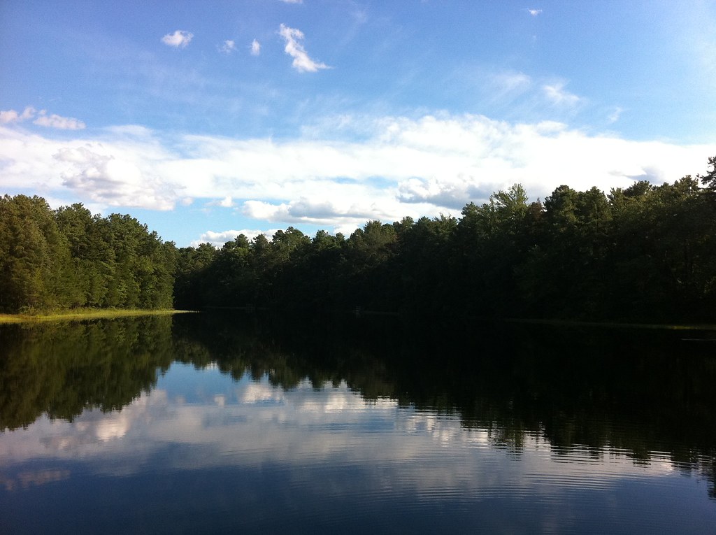 Mount Misery Trail (White)HikingPhoto: aleahey, CC BY-SA 2.0 (via Flickr)4.8 mi
- Yellow TrailHiking5.2 mi
- South Branch Rancocas CreekCanoeing6.2 mi
 Toms RiverCanoeingPhoto: Jonathan Schilling, CC BY-SA 4.0 (via Wikimedia Commons)~28 min drive
- Levittown Lake Boat LaunchBoat launch~33 min drive
- Camp Gateway - Sandy HookStand up paddleboarding~1h 19m drive
 Mullica RiverCanoeingPhoto: Famartin, CC BY-SA 4.0 (via Wikimedia Commons)~29 min drive
- Ferry Road Canal Access WestBoat launch~38 min drive
 Assunpink CreekCanoeingPhoto: Famartin, CC BY-SA 3.0 (via Wikimedia Commons)~32 min drive
- Pleasant Hill Park Boat RampBoat launch~40 min drive
 Great Egg Harbor RiverCanoeingPhoto: Tim Kiser (w:User:Malepheasant), CC BY-SA 2.5 (via Wikimedia Commons)~48 min drive
- Princeton Avenue Boat LaunchBoat launch~43 min drive
 Maurice RiverCanoeingPhoto: Tim Kiser (w:User:Malepheasant), CC BY-SA 2.5 (via Wikimedia Commons)~1h 15m drive
Conditions and forecast
Clear todayDetails in the tracked factors belowusgs_nwis · checked 11 h agoDaily highs and lows, wind and the chance of precipitation at Start for the next 7 days, from the Open-Meteo model.
Ask about this place
Questions about Greenwood Branch: conditions, access, timing. Answers say when something isn't known.
Local outfitters
- South End Surf 'N Paddle32 mi away
- Bartram's Garden34 mi away
Not on Roamze yet. Their page has how to reach them.
