Truckee River Rafting
Kayaking business nearby (~32 mi away) — hasn't claimed their Roamze page yet
Nevada City, California
Free — you'll pick up right here.
Agency alerts are in effect for this area; weather is good
2 factors · 2 sources
Newest 16 h ago · oldest 17 h
caution: Agency alerts
21 active alerts in Tahoe National Forest; most severe: Floriston Fire Closure
USFSPosted Oct 6 · checked 17 h ago
clear: Weather
Clear, high 73°F / low 66°F, 0% precip — 100/100 for canoeing
OpenWeather16 h ago
Been out here in the last few days? One report keeps this current for everyone.
Why you'll love it
Long-term averages modeled by USGS (NHDPlus HR), not today's conditions. Check a gauge before you go.
Canyon Creek
Suggested plan · check conditions before you go
Canyon Creek is a 15-mile paddling stretch near Nevada City, California. It is intermittent and may run dry in some seasons. USGS models an average flow of about 197 cfs and a gradient of about 264.5 feet per mile. Land along it is managed by the U.S. Forest Service.
Active alerts for Tahoe National Forest as of Oct 9, 2026:
information · posted Oct 5, 2026
fire-restriction · posted Sep 28, 2026
information · posted Sep 25, 2026
Hoke Valley- Forest Road 860-07 (17E11 Trail) Closed
information · posted Aug 24, 2026
Highway 20 Area Camping Restrictions
information · posted Aug 24, 2026
Camping and Campfire Restrictions-Truckee and Sierraville Districts
fire-restriction · posted Aug 24, 2026
Sierraville Ranger District Trail Closure
information · posted Aug 24, 2026
information · posted Aug 24, 2026
14-day Camping Occupancy Restrictions
information · posted Aug 24, 2026
information · posted Aug 24, 2026
Source: USFS forest alerts
Source: Roamze catalog (indexable pages within 10 miles, PostGIS distance)
 Photo: Nick Ares, CC BY-SA 2.0 (via Wikimedia Commons)
Bear River
~31 min drive
Bear River is a 25-mile paddling stretch near Dutch Flat, California. It is intermittent and may run dry in some seasons. USGS models an average flow of about 578 cfs and a gradient of about 103.8 feet per mile.
Woodcamp-Boat
~13 min drive
A worthwhile stop near California.
Berger
~26 min drive
A worthwhile stop near California.
 Photo: tomhilton, CC BY 2.0 (via Wikimedia Commons)
Little Truckee River
~33 min drive
Little Truckee River is a 20-mile paddling stretch near Sierraville, California. It is intermittent and may run dry in some seasons. USGS models an average flow of about 224 cfs and a gradient of about 108.3 feet per mile. Land along it is managed by the U.S. Forest Service.
Pass Creek Boat Ramp
~16 min drive
A worthwhile stop near California.
Euchre Bar Trailhead
~27 min drive
A worthwhile stop near California.
 Photo: Moiseiko, CC BY-SA 3.0 (via Wikimedia Commons)
North Fork American River
~33 min drive
North Fork American River is a 12-mile paddling stretch near Foresthill, California. It flows year-round. USGS models an average flow of about 179 cfs and a gradient of about 317.5 feet per mile.
Salmon Lake -Boat Ramp
~30 min drive
A worthwhile stop near California.
 Photo: J.smith, CC BY-SA 3.0 (via Wikimedia Commons)
South Yuba River
~16 min drive
South Yuba River is a 38-mile paddling stretch near Nevada City, California. It is intermittent and may run dry in some seasons. USGS models an average flow of about 1,222 cfs and a gradient of about 100.5 feet per mile. Land along it is managed by the U.S. Forest Service.
Gold Lake Boat Ramp
~32 min drive
Gold Lake Boat Ramp is a boat launch in California.
Also worth it near here
Restroom
~1 min drive
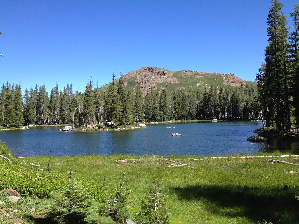 Photo: ray_explores, CC BY 2.0 (via Flickr)
Crooked Lakes Trail
~3 min drive
 Photo: MarkDoliner, CC BY-SA 2.0 (via Flickr)
Candy Land
~4 min drive
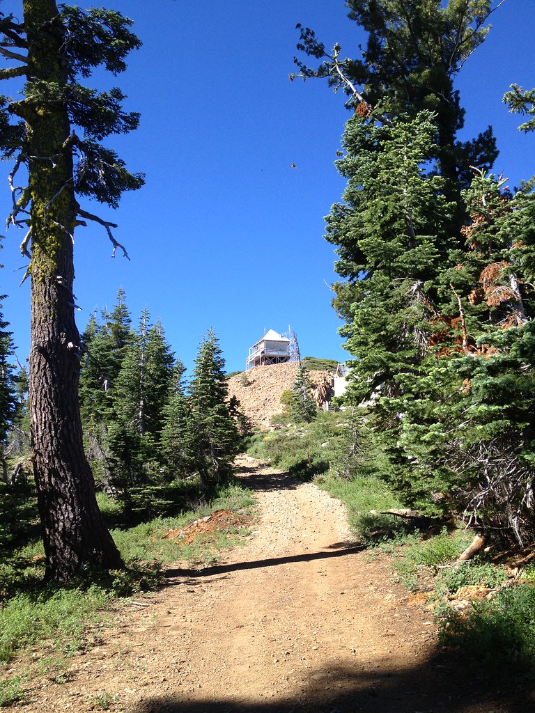 Photo: ray_explores — CC BY 2.0 (via Flickr)
Grouse Ridge
~5 min drive
 Photo: ray_explores from Sacramento, CA, USA, CC BY 2.0 (via Wikimedia Commons)
Five Lakes Basin
~9 min drive
Local operators near Nevada Cityoffering guided trips. You book directly with them — Roamze doesn’t take a cut.
Truckee River Rafting
Kayaking business nearby (~32 mi away) — hasn't claimed their Roamze page yet
Obexer's Boat Company
Kayaking business nearby (~35 mi away) — hasn't claimed their Roamze page yet
West Shore Sports
Kayaking business nearby (~38 mi away) — hasn't claimed their Roamze page yet
