Redwood Creek
At a glance
Redwood Creek is an 8.7-mile paddling stretch near Redway, California, about a mile from the town of Briceland. The creek flows year-round, with typical averages from a nearby weather station showing an average flow of about 77 cubic feet per second and a gradient of about 52.5 feet per mile. Late spring and early fall are the most comfortable times to paddle. Typical averages from the Richardson Gr Sp weather station, about 7.6 miles away, show May highs around 72°F and October highs around 70°F, with only a handful of wet days in each month. Summer runs hotter, with July and August highs near 86°F and almost no rain. Sproul Creek and the Mattole River are both paddling options within about 6 miles. For time on foot, the Durphy Creek Trail and Grove Interpretive Trail are each roughly 8 miles away.
- distance
- 8.7 mi
- high point
- 733 ft
- best months
- Mar–Jun, Sep–Nov
Near: Redway
Best time to visit Redwood Creek
Best months: March–June and September–November. Best months have typical highs of 55–85 °F, lows of 30 °F or warmer (32 °F where the station doesn't record snow), at most one snowy day and no more than 12 wet days.
Jan
50°
39°
16 wet
Feb
53°
40°
14 wet
Mar
59°
41°
12 wet
Apr
64°
42°
9 wet
May
72°
47°
6 wet
Jun
77°
51°
2 wet
Jul
86°
54°
0 wet
Aug
86°
54°
0 wet
Sep
83°
50°
1 wet
Oct
70°
45°
5 wet
Nov
55°
41°
12 wet
Dec
49°
38°
14 wet
Typical high / low (°F) and days with rain or snow, 1991–2020. Measured at Richardson Gr Sp, CA, 7.6 mi away at 503 ft. Source: NOAA NCEI U.S. Climate Normals 1991–2020.
Been here? Tell people how it was.
- Sproul CreekCanoeing5.1 mi
 Mattole RiverCanoeingPhoto: Ellin Beltz, Public domain (via Wikimedia Commons)6.2 mi
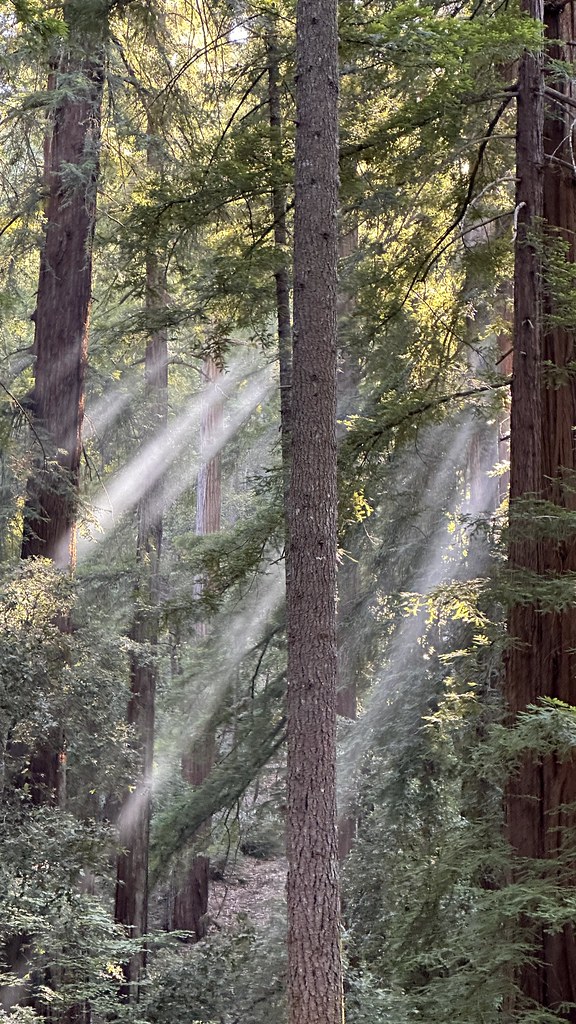 Durphy Creek TrailHikingPhoto: lamblukas, CC BY 2.0 (via Flickr)7.5 mi
 Woodland TrailHikingPhoto: MARELBU, CC BY 3.0 (via Wikimedia Commons)7.7 mi
 Grove Interpretive TrailHikingPhoto: lamblukas, CC BY 2.0 (via Flickr)7.9 mi
- Salmon CreekCanoeing8.1 mi
- Wailaki CampgroundCamping9.2 mi
- Nadelos CampgroundCamping9.2 mi
- Mattole RiverCanoeingPhoto: Ellin Beltz, Public domain (via Wikimedia Commons)~11 min drive
- Shelter Cove Boat LaunchBoat launch~20 min drive
 Usal CreekCanoeingPhoto: Thewellman, CC0 (via Wikimedia Commons)~30 min drive
 Bear RiverCanoeingPhoto: Thewellman, CC0 (via Wikimedia Commons)~47 min drive
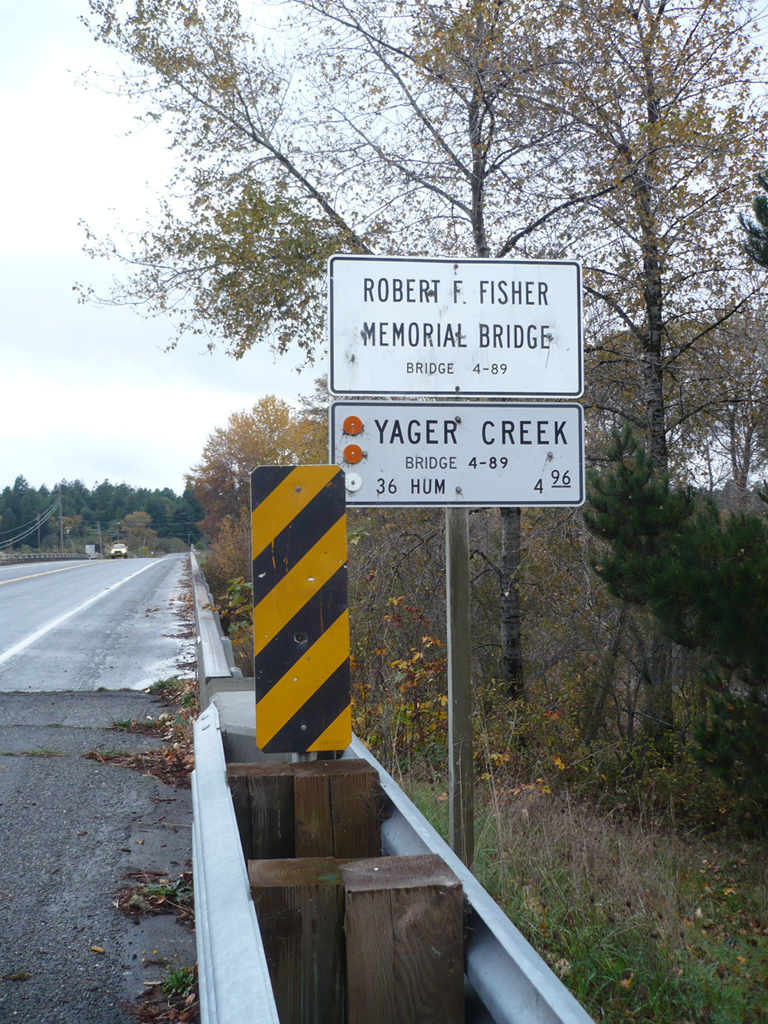 Yager CreekCanoeingPhoto: Ellin Beltz, Public domain (via Wikimedia Commons)~55 min drive
 Mad RiverCanoeingPhoto: humboldthead, CC BY 2.0 (via Wikimedia Commons)~50 min drive
- Sproul CreekCanoeing~9 min drive
- Salmon CreekCanoeing~14 min drive
- Jones CreekCanoeing~16 min drive
- Indian CreekCanoeing~17 min drive
Conditions and forecast
Daily highs and lows, wind and the chance of precipitation at Start for the next 7 days, from the Open-Meteo model.
Ask about this place
Questions about Redwood Creek: conditions, access, timing. Answers say when something isn't known.
