Navarro River
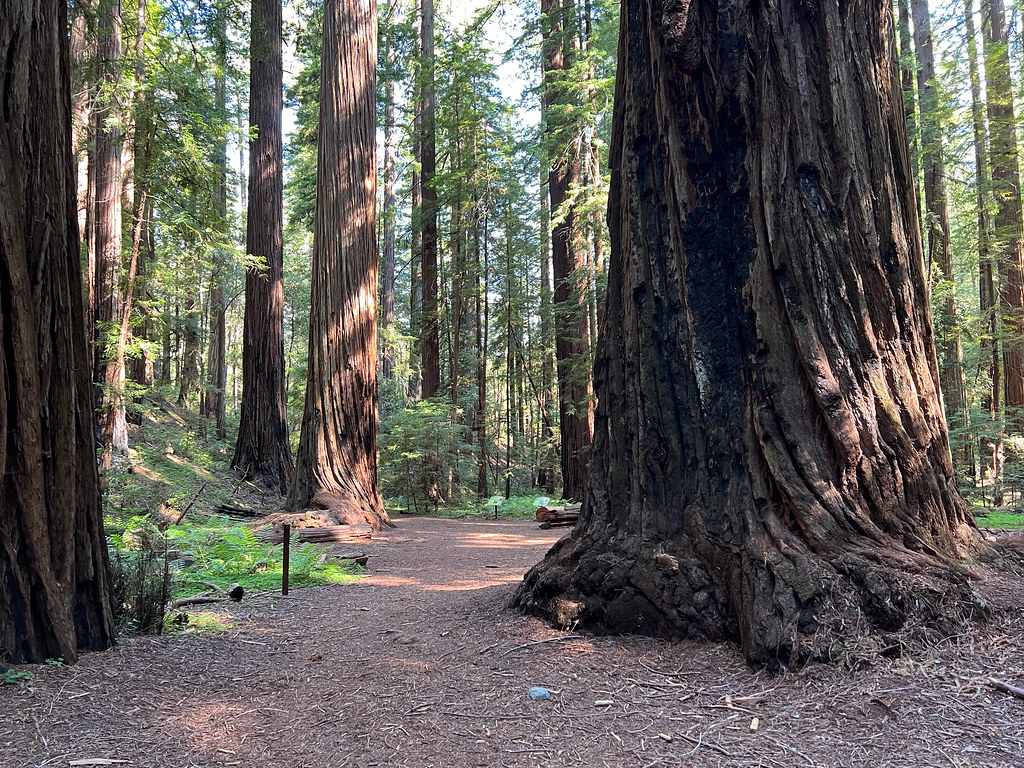
 Photo: Clinton Steeds from Los Angeles, USA, CC BY 2.0 (via Wikimedia Commons)
At a glance
The Navarro River paddling route lies within Hendy Woods State Park in California, managed by State Park and Recreation. The park's trails sit within easy reach, with the Discovery Trail about 0.3 miles away and the Meadow Trail about half a mile off, so paddlers can pair a canoe or kayak outing with a walk on park ground. Spring and fall are the most comfortable times to paddle. Typical averages from a nearby weather station in Ukiah show May highs around 78°F and October highs near 79°F, while July and August average about 94°F. That station sits about 420 feet lower than the river, so temperatures on the water run a bit cooler. For more paddling, Indian Creek is about 4.5 miles away, and the North Fork Navarro River is roughly 9.5 miles away.
- distance
- 4.1 mi
- high point
- 181 ft
- best months
- Feb–May, Oct–Nov
Where it is: Hendy Woods State Park
Near: Philo
Best time to visit Navarro River
Best months: February–May and October–November. Best months have typical highs of 55–85 °F, lows of 30 °F or warmer (32 °F where the station doesn't record snow), at most one snowy day and no more than 12 wet days.
Jan
58°
37°
14 wet
Feb
61°
39°
11 wet
Mar
65°
41°
12 wet
Apr
69°
43°
8 wet
May
78°
48°
4 wet
Jun
86°
52°
2 wet
Jul
94°
56°
1 wet
Aug
94°
55°
0 wet
Sep
89°
51°
2 wet
Oct
79°
45°
6 wet
Nov
65°
40°
11 wet
Dec
57°
36°
15 wet
Typical high / low (°F) and days with rain or snow, 1991–2020. Measured at Ukiah Muni Ap, CA, 14.6 mi away at 601 ft. This station doesn't record snowfall. Source: NOAA NCEI U.S. Climate Normals 1991–2020.
Been here? Tell people how it was.
 Albion RiverCanoeingPhoto: David Eppstein, CC BY-SA 3.0 (via Wikimedia Commons)~28 min drive
- Harbor seal pupping areaBoat launch~40 min drive
 Russian RiverCanoeingPhoto: The original uploader was Finlay McWalter at English Wikipedia., CC BY-SA 3.0 (via Wikimedia Commons)~36 min drive
- Yorty Creek Boat LaunchBoat launch~50 min drive
 Noyo RiverCanoeingPhoto: W Nowicki, CC BY-SA 3.0 (via Wikimedia Commons)~45 min drive
 Outlet CreekCanoeingPhoto: Thewellman, CC0 (via Wikimedia Commons)~51 min drive
- Indian CreekCanoeing~8 min drive
- North Fork Indian CreekCanoeing~10 min drive
- Anderson CreekCanoeing~12 min drive
- North Fork Navarro RiverCanoeing~16 min drive
Conditions and forecast
Daily highs and lows, wind and the chance of precipitation at Start for the next 7 days, from the Open-Meteo model.
Ask about this place
Questions about Navarro River: conditions, access, timing. Answers say when something isn't known.
Local outfitters
- River's Edge Kayak and Canoe46 mi away
- Watertreks47 mi away
Not on Roamze yet. Their page has how to reach them.
