Taylor Creek
At a glance
Taylor Creek is a 6.7-mile paddling stretch near Westcliffe, Colorado, about 2.4 miles from town. It flows year-round, with USGS models estimating an average flow of about 30 cubic feet per second and a gradient of about 42.7 feet per mile. Summer is the most comfortable time to paddle. Typical averages from a nearby weather station in Westcliffe show July highs around 81°F with lows near 45°F, while September cools to highs around 72°F and fewer wet days. Wet Mountain RV Park & Cabins is about 2.6 miles away. The Sangre de Cristo Range climbing area is about 4.8 miles off, and Swift Creek and Spread Eagle Peak are both about 5.1 miles away.
- distance
- 6.7 mi
- high point
- 8,026 ft
- best months
- May–Sep
Near: Westcliffe · 2.4 mi
Best time to visit Taylor Creek
Best months: May–September. Best months have typical highs of 55–85 °F, lows of 30 °F or warmer (32 °F where the station doesn't record snow), at most one snowy day and no more than 12 wet days.
Jan
40°
8°
4 wet
Feb
42°
12°
5 wet
Mar
50°
20°
6 wet
Apr
56°
26°
7 wet
May
66°
33°
7 wet
Jun
77°
41°
7 wet
Jul
81°
45°
11 wet
Aug
78°
44°
11 wet
Sep
72°
37°
6 wet
Oct
61°
26°
5 wet
Nov
49°
17°
4 wet
Dec
40°
8°
4 wet
Typical high / low (°F) and days with rain or snow, 1991–2020. Measured at Westcliffe, CO, 2.4 mi away at 7,873 ft. This station doesn't record snowfall. Source: NOAA NCEI U.S. Climate Normals 1991–2020.
Been here? Tell people how it was.
- Wet Mountain RV Park & CabinsCamping2.6 mi
- Sangre de Cristo RangeRock climbing4.8 mi
- Swift CreekHiking5.1 mi
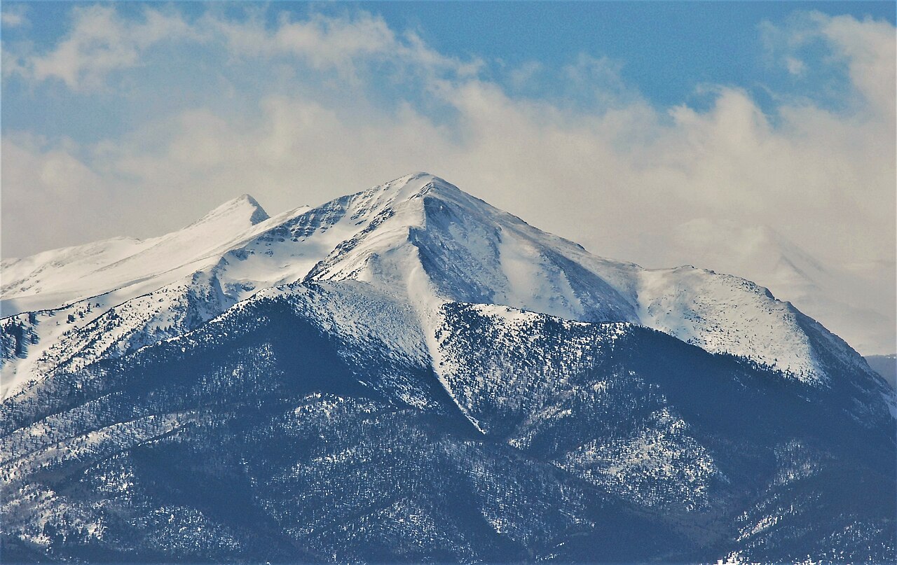
- Spread Eagle PeakHiking5.1 mi
- Rainbow Trail (FS 1336)Hiking5.3 mi
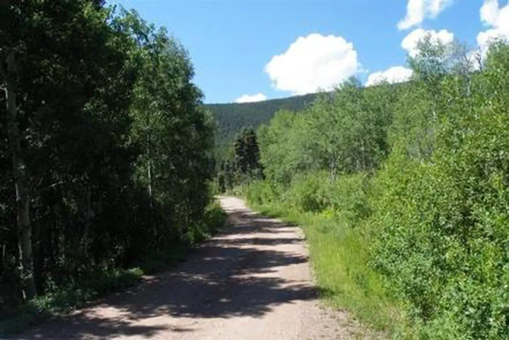 Alvarado CampgroundCampingPhoto: Recreation.gov (RIDB) / public domain5.5 mi
 Grape CreekCanoeingPhoto: Jeffrey Beall, CC BY 4.0 (via Wikimedia Commons)6.4 mi
- Texas CreekCanoeing9.6 mi
- Grape CreekCanoeingPhoto: Jeffrey Beall, CC BY 4.0 (via Wikimedia Commons)~11 min drive
- Lone Pine Recreation Site Boat LaunchBoat launch~32 min drive
- Lake Isabel CabinTubing~47 min drive
- Bassam Guard StationFloat trip~1h 22m drive
 San Luis CreekCanoeingPhoto: Scarpy, CC BY-SA 3.0 (via Wikimedia Commons)~38 min drive
- Lone Pine River AccessBoat launch~32 min drive
 Huerfano RiverCanoeingPhoto: Jeffrey Beall, CC BY-SA 3.0 (via Wikimedia Commons)~1h 9m drive
- Texas Creek River AccessBoat launch~32 min drive
 Saint Charles RiverCanoeingPhoto: Jeffrey Beall, CC BY 3.0 (via Wikimedia Commons)~1h 9m drive
- Ford's Landing River AccessBoat launch~32 min drive
Conditions and forecast
Daily highs and lows, wind and the chance of precipitation at Start for the next 7 days, from the Open-Meteo model.
Ask about this place
Questions about Taylor Creek: conditions, access, timing. Answers say when something isn't known.
Local outfitters
- Journey Quest19 mi away
- Black Bear Retreat28 mi away
Not on Roamze yet. Their page has how to reach them.
