

Dawson Cabin
Campground
The next 5 weekends are full on Recreation.gov
Clear Creek is a 12-mile paddling stretch in the Leadville Ranger District of the Pike and San Isabel National Forests, near Buena Vista, Colorado. The U.S. Forest Service manages the land along the creek, and the creek flows year-round. USGS models an average flow of about 103 cubic feet per second and a gradient of about 120 feet per mile. Summer is the most comfortable time to paddle. Typical averages from a nearby weather station run to highs around 74°F in July with lows near 43°F, though that station sits about 1,000 feet lower, so temperatures on the creek run cooler. Late spring and early fall are milder, with May highs around 58°F and September highs around 65°F. Dawson Cabin is just 0.2 miles away, and Missouri Gulch and Iowa Peak are both about 1.2 miles off. Lake Creek, another paddling spot, lies roughly 6 miles away.
Where it is: Leadville Ranger District · Pike and San Isabel National Forests
Near: Leadville
Late May to late September is usually best for paddling here.
Typical highs of 61–75°F and lows of 32°F or warmer in those weeks. Rain falls on about 40% of days at the wettest of them, so plan around showers.
Typical weather: NOAA 1991–2020 normals at Twin Lakes Rsvr, CO, 6 mi away. Not a forecast.
Typical weather by monthBest months: June–September. Best months are the ones mostly made of the best weeks for paddling: typical temperatures in its comfortable range, few snowy days and not usually wet, judged with the same limits as our good-day forecasts.
Jan
34°
5°
4 wet
Feb
35°
5°
5 wet
Mar
41°
13°
6 wet
Apr
46°
21°
6 wet
May
58°
30°
7 wet
Jun
70°
37°
8 wet
Jul
74°
43°
11 wet
Aug
71°
42°
12 wet
Sep
65°
35°
8 wet
Oct
53°
26°
5 wet
Nov
42°
17°
4 wet
Dec
34°
8°
4 wet
Typical high / low (°F) and days with rain or snow, 1991–2020. Measured at Twin Lakes Rsvr, CO, 6.3 mi away at 9,236 ft. The station sits about 1,000 ft lower than this place, so expect it a little cooler here. This station doesn't record snowfall. Source: NOAA NCEI U.S. Climate Normals 1991–2020.
Been here? Tell people how it was.
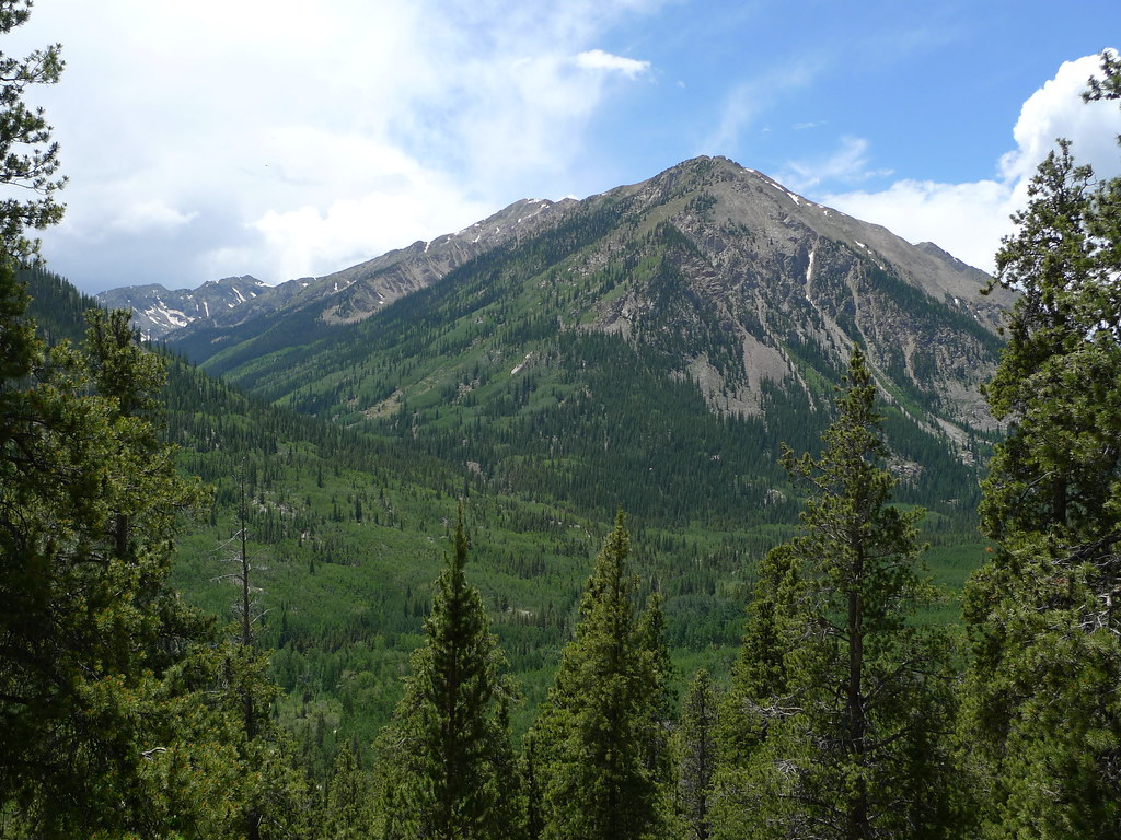
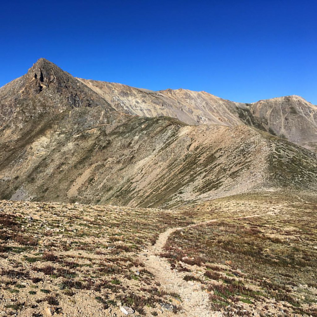 Missouri GulchHikingPhoto: gregor_y, CC BY-SA 2.0 (via Flickr)1.2 miIowa PeakHikingPhoto: gregor_y, CC BY-SA 2.0 (via Flickr)1.2 mi
 Twin Lakes AreaRock climbingPhoto: jonathan c. wheeler, CC BY-SA 3.0 (via Wikimedia Commons)5.3 mi
 Tennessee CreekCanoeingPhoto: Jeffrey Beall, CC BY 3.0 (via Wikimedia Commons)~36 min drive
 East Fork Arkansas RiverCanoeingPhoto: Jeffrey Beall, CC BY 3.0 (via Wikimedia Commons)~38 min drive
 Taylor RiverCanoeingPhoto: Jeffrey Beall, CC BY-SA 3.0 (via Wikimedia Commons)~30 min drive
 South Fork South Platte RiverCanoeingPhoto: Jeffrey Beall, CC BY 3.0 (via Wikimedia Commons)~31 min drive
Also worth it near here
Daily highs and lows, wind and the chance of precipitation at Start for the next 7 days, from the Open-Meteo model.
Questions about Clear Creek: conditions, access, timing. Answers say when something isn't known.
Dawson Cabin
Campground
 If it rainsLongled, CC BY-SA 3.0 · Wikimedia Commons
Historic frontier synagogue building
Places © OpenStreetMap contributors, Places © Overture Maps Foundation · Photos: Longled, CC BY-SA 3.0 (commons)
More in LeadvilleNot on Roamze yet. Their page has how to reach them.
