Cedar Creek RV Park and Lodging
Kayaking business nearby (~41 mi away) — hasn't claimed their Roamze page yet
Telluride, Colorado
No account needed. We'll keep it on this device.
We won't guess. Here is exactly what we do and don't know.
What we do know
Inside Grand Mesa, Uncompahgre and Gunnison National Forests
2 managing-area boundaries mapped — agency alerts for them feed this page automatically.
Boundary data
What's missing
No access route mapped
We don't yet know which road reaches this trailhead, so we can't tell you if it's gated.
Nobody's filed a report here yet — be the first.
Why you'll love it
Long-term averages modeled by USGS (NHDPlus HR), not today's conditions. Check a gauge before you go.
South Fork San Miguel River
Suggested plan · check conditions before you go
Want dates, gear and meals worked out too?
No permit or access details on file for this water — check with the local land manager before you go.
South Fork San Miguel River is a 5.1-mile paddling stretch near Telluride, Colorado. It flows year-round. USGS models an average flow of about 86 cfs and a gradient of about 105.5 feet per mile.
Typical monthly averages (not a forecast) from the Telluride 4wnw, CO weather station, 4.2 mi away. High / low in °F.
Source: USFS EDW boundaries
Active alerts for Grand Mesa, Uncompahgre and Gunnison National Forests as of Oct 9, 2026:
2026-2027 GMUG National Forests Prescribed Pile Burn Plan
information · posted Oct 8, 2026
2026-2027 GMUG National Forests Prescribed Burn Plan
information · posted Oct 7, 2026
Gold Mountain Wildfire Roads and Trails Closure Order v 4.0
critical · posted Sep 14, 2026
TERMINATION OF ORDER - FIRE RESTRICTIONS
fire-restriction · posted Sep 2, 2026
Raggeds Wilderness Area Occupancy & Use
information · posted Aug 24, 2026
West Elk Wilderness Area Occupancy & Use
information · posted Aug 24, 2026
General Occupancy and Use on the Grand Mesa, Uncompahgre and Gunnison National Forests
information · posted Aug 24, 2026
information · posted Aug 24, 2026
Doctor Park (NFS Trail 424) Seasonal Closure
information · posted Aug 24, 2026
information · posted Aug 24, 2026
Source: USFS forest alerts
Source: Roamze catalog (indexable pages within 10 miles, PostGIS distance)
 Photo: Boyd Norton, Public domain (via Wikimedia Commons)
East Fork Dallas Creek
~23 min drive
East Fork Dallas Creek is a 11-mile paddling stretch near Ridgway, Colorado. It is intermittent and may run dry in some seasons. USGS models an average flow of about 34 cfs and a gradient of about 318.4 feet per mile.
Deep Creek
~8 min drive
A worthwhile stop near Colorado.
 Photo: Jeffrey Beall, CC BY 4.0 (via Wikimedia Commons)
Leopard Creek
~23 min drive
Leopard Creek is a 14-mile paddling stretch near Placerville, Colorado. It flows year-round. USGS models an average flow of about 56 cfs and a gradient of about 146.0 feet per mile.
Caddis Flats Boat Ramp
~24 min drive
A worthwhile stop near Colorado.
 Photo: Clyde frogg, CC BY-SA 3.0 (via Wikimedia Commons)
Animas River
~28 min drive
Animas River is a 15-mile paddling stretch near Silverton, Colorado. It flows year-round. USGS models an average flow of about 544 cfs and a gradient of about 131.4 feet per mile.
Specie Creek Boat Ramp
~26 min drive
A worthwhile stop near Colorado.
 Photo: Jeffrey Beall, CC BY 4.0 (via Wikimedia Commons)
Hermosa Creek
~41 min drive
Hermosa Creek is a 29-mile paddling stretch near Durango, Colorado. It flows year-round. USGS models an average flow of about 270 cfs and a gradient of about 134.6 feet per mile. Land along it is managed by the U.S. Forest Service.
Lower Beaver Boat Ramp
~37 min drive
A worthwhile stop near Colorado.
 Photo: Jeffrey Beall, CC BY 4.0 (via Wikimedia Commons)
Henson Creek
~45 min drive
Henson Creek is a 17-mile paddling stretch near Lake City, Colorado. It flows year-round. USGS models an average flow of about 107 cfs and a gradient of about 174.4 feet per mile. Land along it is managed by the Bureau of Land Management.
Haviland Lake Boating Site
~44 min drive
A worthwhile stop near Colorado.
Also worth it near here
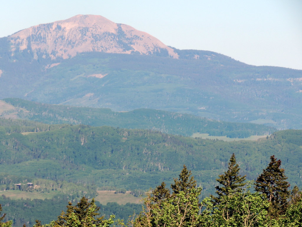 Photo: dougandme, CC BY 2.0 (via Flickr)
Sunshine
~1 min drive
 Photo: Jeffrey Beall, CC BY 4.0 (via Wikimedia Commons)
Magic Meadows
~3 min drive
 Photo: Kurt Bauschardt from Edmonton, Canada, CC BY-SA 2.0 (via Wikimedia Commons)
Magic Meadows Trail
~5 min drive
 Photo: Ken Lund, CC BY-SA 2.0 (via Flickr)
Slabs, The
~5 min drive
 Photo: sf-dvs, CC BY 2.0 (via Wikimedia Commons)
Sunshine Mountain
~5 min drive
Local operators near Tellurideoffering guided trips. You book directly with them — Roamze doesn’t take a cut.
Cedar Creek RV Park and Lodging
Kayaking business nearby (~41 mi away) — hasn't claimed their Roamze page yet
CampV
Kayaking business nearby (~44 mi away) — hasn't claimed their Roamze page yet
