San Francisco River
At a glance
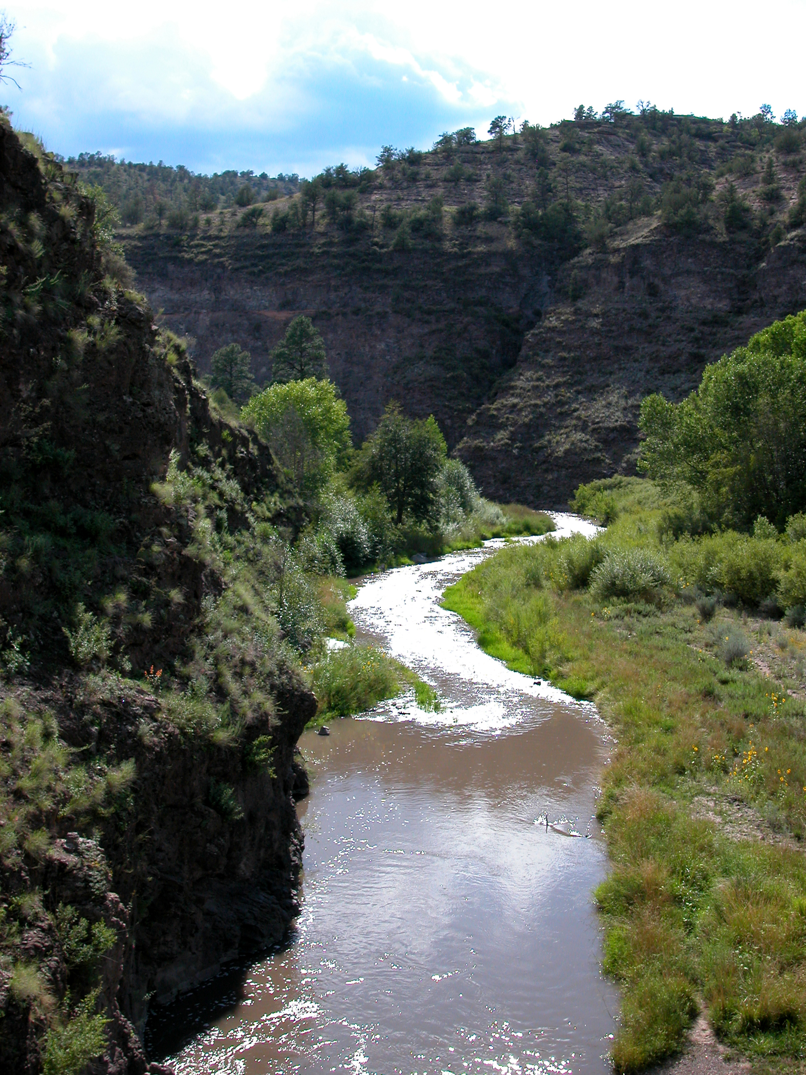
San Francisco River is a 93-mile paddling stretch in the Glenwood Ranger District of Gila National Forest, New Mexico, near Glenwood. The U.S. Forest Service manages the land along the river. The route is ephemeral, and the river may run dry in some seasons. USGS models an average flow of about 116 cubic feet per second and a gradient of about 43.8 feet per mile. Late spring and early fall are the most comfortable times to paddle. Typical averages from a nearby weather station in Alpine, Arizona, run about 69°F for May highs and 72°F for September highs, with July and August bringing the most wet days of the year. Several short hikes sit within a few miles, including Saliz, Cottonwood and Dangerous Park Trail. Aspen Mountain Trail is about 4.3 miles away.
- distance
- 92.9 mi
- high point
- 8,738 ft
- best months
- Early May–mid-Oct
Where it is: Glenwood Ranger District · Gila National Forest
Near: Alpine
Best weeks to go
Early May to mid-October is usually best for paddling here.
Typical highs of 65–80°F and lows of 30°F or warmer in those weeks. Rain falls on about 50% of days at the wettest of them, so plan around showers.
Typical weather: NOAA 1991–2020 normals at Alpine, AZ, 20 mi away. Not a forecast.
Typical weather by monthBest time to visit San Francisco River
Best months: May–September. Best months are the ones mostly made of the best weeks for paddling: typical temperatures in its comfortable range, few snowy days and not usually wet, judged with the same limits as our good-day forecasts.
Jan
46°
15°
5 wet
Feb
48°
18°
5 wet
Mar
54°
23°
4 wet
Apr
61°
26°
3 wet
May
69°
31°
3 wet
Jun
78°
39°
5 wet
Jul
78°
47°
13 wet
Aug
76°
46°
15 wet
Sep
72°
39°
8 wet
Oct
64°
30°
5 wet
Nov
54°
22°
3 wet
Dec
46°
16°
5 wet
Typical high / low (°F) and days with rain or snow, 1991–2020. Measured at Alpine, AZ, 20.3 mi away at 8,050 ft. The station sits about 700 ft lower than this place, so expect it a little cooler here. This station doesn't record snowfall. Source: NOAA NCEI U.S. Climate Normals 1991–2020.
Been here? Tell people how it was.
 Middle Fork Gila RiverCanoeingPhoto: Joe Burgess, Public domain (via Wikimedia Commons)~1h 6m drive
- Luna Lake Boat LaunchBoat launch~29 min drive
 West Fork Gila RiverCanoeingPhoto: Chris M Morris, CC BY 2.0 (via Wikimedia Commons)~1h 9m drive
- Nelson Reservoir South Boating SiteBoat launch~56 min drive
- Blue RiverCanoeing~31 min drive
- Nelson Reservoir North Boating SiteBoat launch~57 min drive
- Tularosa RiverCanoeing~32 min drive
- Big Lake Boating/Launch SiteBoat launch~58 min drive
- Mogollon CreekCanoeing~1h 6m drive
- Big Lake South Cove Boating SiteBoat launch~59 min drive
Conditions and forecast
Caution todayAgency alerts are in effect for this areaUSFS, usgs_nwis · checked 1 min agoDaily highs and lows, wind and the chance of precipitation at Start for the next 7 days, from the Open-Meteo model.
Ask about this place
Questions about San Francisco River: conditions, access, timing. Answers say when something isn't known.
