Camp Winaukee
Campground
5.4 mi from the trail
Mount Shaw is a summit in New Hampshire, rising to 2,989 feet. The nearest town is Melvin Village, about 4 miles away. Summer is the most comfortable time to go. Typical averages from a nearby weather station at Waterville Valley, which sits roughly 1,560 feet lower, show July highs around 77°F with lows near 54°F. That station's figures are not adjusted for the summit's higher elevation, so temperatures up top run cooler. Several trails start close by. Gorilla Trail is about 0.1 mile away, Mount Shaw Trail about 0.3 mile, and Black Snout Trail about 0.6 mile. For climbing, the Dark Crystal Area is about 2.5 miles off.
Near: Laconia
Best months: May–October. Best months have typical highs of 55–85 °F, lows of 30 °F or warmer (32 °F where the station doesn't record snow), at most one snowy day and no more than 12 wet days.
Jan
28°
6°
Feb
30°
6°
Mar
38°
15°
Apr
50°
28°
May
63°
40°
Jun
72°
49°
Jul
77°
54°
Aug
76°
52°
Sep
69°
45°
Oct
56°
34°
Nov
43°
25°
Dec
33°
14°
Typical high / low (°F) and days with rain or snow, 1991–2020. Measured at Waterville Valley Nepp, NH, 18.3 mi away at 1,429 ft. The station sits about 1,600 ft lower than this place, so expect it a little cooler here. This station doesn't record snowfall. Source: NOAA NCEI U.S. Climate Normals 1991–2020.
Been here? Tell people how it was.
| Gorilla Trail | High Ridge Trail | Black Snout Trail | |
|---|---|---|---|
| Climbing | About 2,431 ft | About 826 ft | About 394 ft |
| Round trip | 6.4 mi | 5.3 mi | 2.1 mi |
| Difficulty | Moderate | Easy | Moderate |
| Terrain | Hike | Hike | Hike |
 Gorilla TrailHikingPhoto: walknboston, CC BY 2.0 (via Flickr)0.1 miMount Shaw TrailHikingPhoto: walknboston, CC BY 2.0 (via Flickr)0.3 miBlack Snout TrailHikingPhoto: walknboston, CC BY 2.0 (via Flickr)0.6 mi
 Mount PassaconawaySummitPhoto: Jeremy R. Clark, CC BY 3.0 (via Wikimedia Commons)~27 min drive
 Mount ChocoruaSummitPhoto: No machine-readable author provided. JohnJHenderson~commonswiki assumed (based on copyright claims)., Public domain (via Wikimedia Commons)~25 min drive
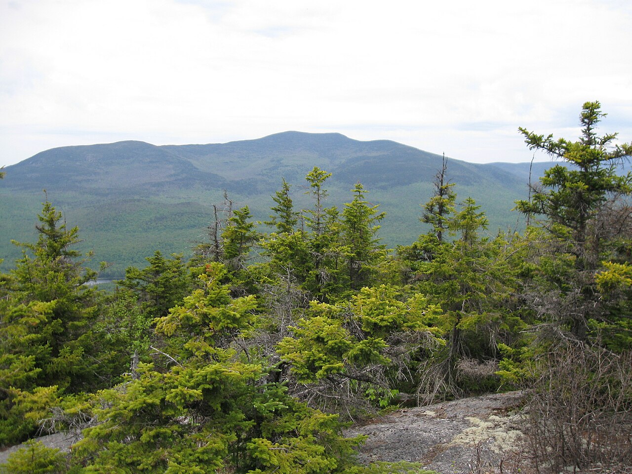 Sandwich MountainSummitPhoto: Ken Gallager (talk), CC BY-SA 3.0 (via Wikimedia Commons)~27 min drive
Daily highs and lows, wind and the chance of precipitation at the summit and route start for the next 7 days, from the Open-Meteo model.
2,989 ft (911 m).
3: Gorilla Trail, High Ridge Trail and Black Snout Trail.
Black Snout Trail, about 2.1 mi.
Questions about Mount Shaw: conditions, access, timing. Answers say when something isn't known.
Camp Winaukee
Campground
Madison Historical Society and Museum
Museum
Places © OpenStreetMap contributors, Places © Overture Maps Foundation
More in North Conway