Camp Winaukee
Campground
Campground · 4.2 mi from the trail
Brier Hill is a summit in New Hampshire, rising to 1,322 feet about 3 miles from the village of Melvin Village. The Brier Hill Trail starts just 0.4 miles away, making it the natural way to reach the top. Summer is the most comfortable time to go. Typical averages from a nearby weather station show July highs around 82°F with lows near 57°F, and September still runs in the low 70s. That station sits about 630 feet lower than the summit, so temperatures on top run cooler. Several other trails lie within a couple of miles, including the Italian Trail and the Dave Green Trail. Climbers can find the Dark Crystal Area about 3.4 miles away.
Camp Winaukee
Campground
Madison Historical Society and Museum
Museum
Places © OpenStreetMap contributors
More in North ConwayDaily highs and lows, wind and the chance of precipitation at the summit and route start for the next 7 days, from the Open-Meteo model.
Elevation from USGS 3D Elevation Program terrain data (about 10 m resolution).
1,322 ft (403 m).
One: Brier Hill Trail.
Source: Roamze catalog (indexable pages within 10 miles, PostGIS distance)
 Mount ChocoruaSummit · ~29 min drivePhoto: No machine-readable author provided. JohnJHenderson~commonswiki assumed (based on copyright claims)., Public domain (via Wikimedia Commons)
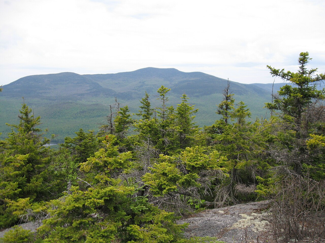 Sandwich MountainSummit · ~31 min drivePhoto: Ken Gallager (talk), CC BY-SA 3.0 (via Wikimedia Commons)
Best months: May–October. Best months have typical highs of 55–85 °F, lows of 30 °F or warmer (32 °F where the station doesn't record snow), at most one snowy day and no more than 12 wet days.
Jan
29° / 10°
Feb
33° / 10°
Mar
42° / 19°
Apr
55° / 30°
May
68° / 42°
Jun
77° / 51°
Jul
82° / 57°
Aug
80° / 55°
Sep
72° / 48°
Oct
58° / 36°
Nov
45° / 27°
Dec
34° / 17°
Typical high / low (°F) and days with rain or snow, 1991–2020. Measured at E Sandwich, NH, 8.2 mi away at 692 ft. The station sits about 600 ft lower than this place, so expect it a little cooler here. This station doesn't record snowfall. Source: NOAA NCEI U.S. Climate Normals 1991–2020.

