Cabresto Lake
Campground
3.7 mi from the trail
Latir Mesa is a summit in the Latir Peak Wilderness, part of the Questa Ranger District of Carson National Forest in northern New Mexico. The nearest town is Red River, about 7 miles away. The mesa sits within designated wilderness on the Carson National Forest, in the high country north of Red River. The Latir Peak Trail passes just 0.1 mile from it. The closest neighbor is the Latir Peak Trail, with Heart Lake about 1.7 miles off. A little farther out are the Questa Dome climbing area at about 3 miles and Cabresto Lake, a fishing spot roughly 3.6 miles away.
Where it is: Latir Peak Wilderness · Questa Ranger District
Near: Questa
Been here? Tell people how it was.
| Latir Peak Trail | Bull Creek | |
|---|---|---|
| Climbing | About 147 ft | About 2,500 ft |
| Round trip | 1.1 mi | 11.9 mi |
| Difficulty | Moderate | Hard |
| Terrain | Hike | Hike |
| Season | — | March 15 – November 15 |
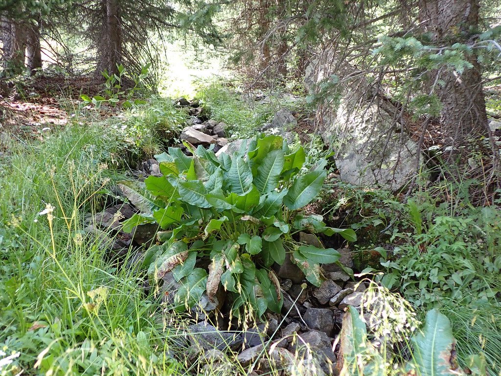 Heart LakeHikingPhoto: Matt Lavin, CC BY-SA 2.0 (via Flickr)1.7 mi
 Red RiverCanoeingPhoto: Billy Hathorn at en.wikipedia, CC BY-SA 3.0 (via Wikimedia Commons)8 mi
 Wheeler PeakSummitPhoto: Davishan99, CC BY-SA 3.0 (via Wikimedia Commons)~29 min drive
 Red MountainSummitPhoto: David Herrera from Albuquerque, NM, Bernalillo, CC BY 2.0 (via Wikimedia Commons)~47 min drive
 Culebra PeakSummitPhoto: David Herrera from Albuquerque, NM, Bernalillo, CC BY 2.0 (via Wikimedia Commons)~47 min drive
 Trinchera PeakSummitPhoto: David Herrera from Albuquerque, NM, Bernalillo, CC BY 2.0 (via Wikimedia Commons)~1h 5m drive
 West Spanish PeakSummitPhoto: Alethe88, CC BY-SA 3.0 (via Wikimedia Commons)~1h 22m drive
Daily highs and lows, wind and the chance of precipitation at the summit and route start for the next 7 days, from the Open-Meteo model.
12,705 ft (3,872 m).
2: Latir Peak Trail and Bull Creek.
Latir Peak Trail, about 1.1 mi round trip.
March 15 – November 15.
Questions about Latir Mesa: conditions, access, timing. Answers say when something isn't known.
Cabresto Lake
Campground
Little Red School House
Museum
Places © OpenStreetMap contributors
More in Arroyo Seco