Black Bear RV Park
Hiking business nearby (~47 mi away) — hasn't claimed their Roamze page yet
Idaho
No account needed. We'll keep it on this device.
2.3 mi
Distance
3,833 ft
Gain
1h 5m
Time
An agency closure order is in effect for this area; weather is good
2 factors · 2 sources
Newest 53 min ago · oldest 1 h
problem: Agency alerts
4 active alerts in Nez Perce-Clearwater National Forest; most severe: Updated 250 Road Closure
USFSPosted Sep 15 · checked 1 h ago
clear: Weather
Clouds, high 40°F / low 36°F, 7% precip — 92/100 for hike
OpenWeather53 min ago
Been out here in the last few days? One report keeps this current for everyone.
Why you'll love it
Indian Creek
Suggested plan · check conditions before you go
Want dates, gear and meals worked out too?
Indian Creek is a 4.62-mile out-and-back trail in Idaho with 3,833 feet of elevation gain and loss. The trail reaches a maximum elevation of 6,013 feet.
Source: Roamze elevation profile and trail geometry (DEM samples along the mapped route)
Typical monthly averages (not a forecast) from the Dixie, ID weather station, 8.5 mi away. High / low in °F.
Active alerts for Red River Ranger District as of Oct 9, 2026:
Red River Ranger District Road Closures
critical · posted Sep 1, 2026
caution · posted Aug 24, 2026
Source: USFS forest alerts
Source: Roamze catalog (indexable pages within 10 miles, PostGIS distance)
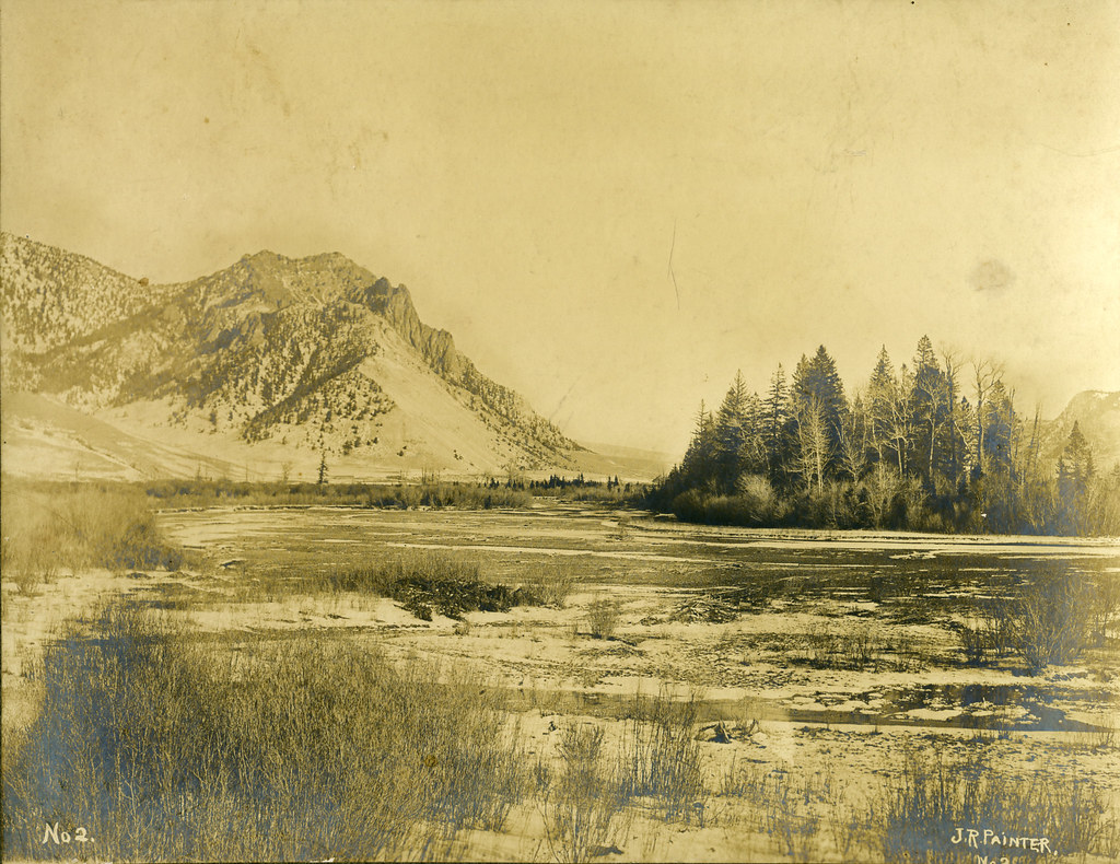 Photo: waterarchives, CC BY-SA 2.0 (via Flickr)
Salmon River Trail East
~9 min drive
20.34-mile out-and-back trail in Idaho with 4,970 ft elevation gain/loss.
JERSEY RIDGE
~3 min drive
17.12-mile out-and-back trail in Idaho with 6,745 ft elevation gain and loss.
JERSEY MOUNTAIN LOOKOUT
~4 min drive
2.0-mile out-and-back trail to Jersey Mountain Lookout in Idaho with 687 ft elevation gain.
CROOKED CREEK
~7 min drive
10.70-mile trail in Idaho with 3200 ft elevation gain.
Photo: waterarchives, CC BY-SA 2.0 (via Flickr)Painter Trail #213
~9 min drive
7.9-mile out-and-back trail in Idaho with 5,072 ft gain and 5,887 ft max elevation.
Crooked Creek Trail
~8 min drive
5.4-mile out-and-back trail in Idaho with 2,080 ft elevation gain and loss.
Warren Creek
~9 min drive
0.60-mile out-and-back trail at Warren Creek in Idaho with 276 ft of elevation gain.
James Creek
~11 min drive
20.79-mile out-and-back trail in Idaho with 4,135 ft gain.
Arlington Ridge Trail
~7 min drive
18.52-mile out-and-back trail in Idaho with 7,102 ft elevation gain and loss.
Drumlummen Trail #200
~12 min drive
5.08-mile out-and-back trail in Idaho with 2,056 ft elevation gain and loss.
Also worth it near here
Local operatorsoffering guided trips. You book directly with them — Roamze doesn’t take a cut.
Black Bear RV Park
Hiking business nearby (~47 mi away) — hasn't claimed their Roamze page yet
