Highland Peak
 Photo: This Photo was taken by Wolfgang Moroder.
Feel free to use my photos, but please mention me as the author and send me a message.
This image is not in the public domain. Please respect the copyright protection. It may only be used according to the rules mentioned here. This specifically excludes use in social media, if applicable terms of the licenses listed here not appropriate.
Please do not upload an updated image here without consultation with the Author. The author would like to make corrections only at his own source. This ensures that the changes are preserved.Please if you think that any changes should be required, please inform the author.Otherwise you can upload a new image with a new name. Please use one of the templates derivative or extract., CC BY-SA 3.0 (via Wikimedia Commons)
At a glance
Highland Peak is a summit of about 12,384 feet in Pitkin County, Colorado, inside the Maroon Bells-Snowmass Wilderness. The peak lies within the Aspen Ranger District of White River National Forest, which the Forest Service manages, and the nearest town is Aspen, about 5 miles away. One notes that Maroon Creek Road is open to vehicles. Another covers camping and other rules for the Maroon Bells-Snowmass Wilderness. Silver Queen Campground and Silver Bell Campground both sit within about a mile and a half of the peak, and the Conundrum Creek hike is a similar distance away. Maroon Lake Scenic, a lake fishing spot, is about 4 miles off.
- summit
- 12,384 ft
- managed by
- Forest Service
Where it is: Maroon Bells-Snowmass Wilderness · Aspen Ranger District
Near: Aspen · 5.1 mi
Been here? Tell people how it was.
We don't know of a mapped trail or route to the summit of Highland Peak. Plan the approach with local maps, a guidebook or a local guide, and check conditions before you go.
 Pyramid Peak14,009 ft · Colorado1 route5.5 mi awayPhoto: EE One, CC BY-SA 3.0 (via Wikimedia Commons)
- Red Butte8,304 ft · Colorado1 route5.8 mi away
- Willoughby Mountain13,139 ft · Colorado1 route6.4 mi away
 Cathedral Peak13,941 ft · Colorado1 route6.6 mi awayPhoto: John Sowell, CC BY-SA 4.0 (via Wikimedia Commons)
- North Maroon Peak14,012 ft · Colorado1 route7.0 mi away
- Cozy Point8,500 ft · Colorado4 routes7.1 mi away
- Silver Queen CampgroundCamping1.3 mi
- Silver Bell CampgroundCamping1.4 mi
- Conundrum CreekHiking1.4 mi
 Maroon Creek RoadSki touringPhoto: This Photo was taken by Wolfgang Moroder.
Feel free to use my photos, but please mention me as the author and send me a message.
This image is not in the public domain. Please respect the copyright protection. It may only be used according to the rules mentioned here. This specifically excludes use in social media, if applicable terms of the licenses listed here not appropriate.
Please do not upload an updated image here without consultation with the Author. The author would like to make corrections only at his own source. This ensures that the changes are preserved.Please if you think that any changes should be required, please inform the author.Otherwise you can upload a new image with a new name. Please use one of the templates derivative or extract., CC BY-SA 3.0 (via Wikimedia Commons)1.5 mi
- Castle CreekCanoeing3 mi
- Maroon Lake ScenicLake fishing3.9 mi
 East FaceRock climbingPhoto: David Leo Veksler, CC BY-SA 2.0 (via Flickr)6.2 mi
- West Side - Lower ButtressRock climbingPhoto: David Leo Veksler, CC BY-SA 2.0 (via Flickr)6.2 mi
 Hayden PeakSummitPhoto: Wolfgang Moroder, CC BY-SA 3.0 (via Wikimedia Commons)~9 min drive
- Pyramid PeakSummitPhoto: EE One, CC BY-SA 3.0 (via Wikimedia Commons)~10 min drive
- Cathedral PeakSummitPhoto: John Sowell, CC BY-SA 4.0 (via Wikimedia Commons)~11 min drive
 Malemute PeakSummitPhoto: Jeremiah LaRocco, CC BY-SA 2.0 (via Wikimedia Commons)~13 min drive
 Castle PeakSummitPhoto: Dbunde (talk), Public domain (via Wikimedia Commons)~14 min drive
 Snowmass PeakSummitPhoto: Mike D Lewis, CC BY-SA 3.0 (via Wikimedia Commons)~17 min drive
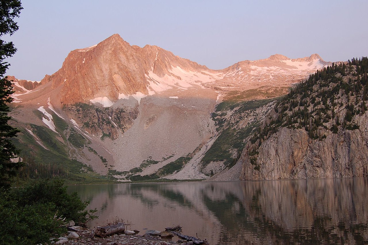 Hagerman PeakSummitPhoto: Nelsestu at English Wikipedia, Public domain (via Wikimedia Commons)~17 min drive
 Pearl MountainSummitPhoto: Jeremiah LaRocco, CC BY-SA 2.0 (via Wikimedia Commons)~18 min drive
 Star PeakSummitPhoto: Jeremiah LaRocco, CC BY-SA 2.0 (via Wikimedia Commons)~19 min drive
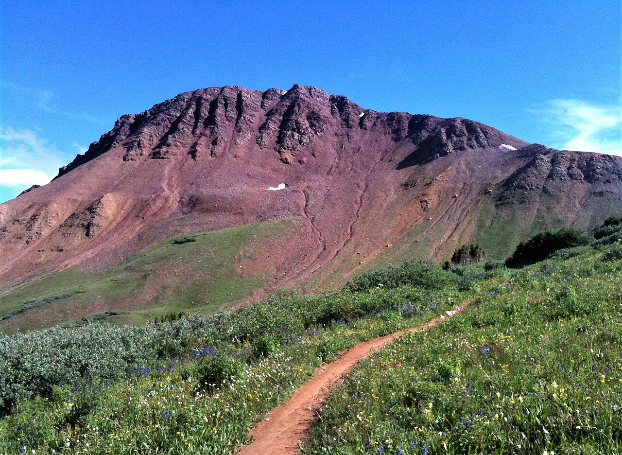 Crystal PeakSummitPhoto: TRAILSOURCE.COM, CC BY 2.0 (via Wikimedia Commons)~21 min drive
Also worth it near here
- Silver Queen CampgroundCamping~2 min drive
- Maroon Creek RoadSki touringPhoto: This Photo was taken by Wolfgang Moroder.
Feel free to use my photos, but please mention me as the author and send me a message.
This image is not in the public domain. Please respect the copyright protection. It may only be used according to the rules mentioned here. This specifically excludes use in social media, if applicable terms of the licenses listed here not appropriate.
Please do not upload an updated image here without consultation with the Author. The author would like to make corrections only at his own source. This ensures that the changes are preserved.Please if you think that any changes should be required, please inform the author.Otherwise you can upload a new image with a new name. Please use one of the templates derivative or extract., CC BY-SA 3.0 (via Wikimedia Commons)~3 min drive
 East MaroonHikingPhoto: Cal Wolfe, CC BY-SA 3.0 (via Wikimedia Commons)~4 min drive
- Castle CreekCanoeing~5 min drive
Conditions and forecast
Caution todayAgency alerts are in effect for this areaUSFS · checked 18 min agoDaily highs and lows, wind and the chance of precipitation at the summit for the next 7 days, from the Open-Meteo model.
Questions about Highland Peak
How tall is Highland Peak?
12,384 ft (3,775 m).
Is there a trail to the top of Highland Peak?
We don't know of a mapped trail or route to the summit. Plan the approach with local maps, a guidebook or a local guide.
Ask about this place
Questions about Highland Peak: conditions, access, timing. Answers say when something isn't known.
