Cozy Point
- 8,500 ft
- summit
- 4
- ways up
- May–Sep
- best months
Cozy Point is a summit in Colorado, rising to about 8,500 feet roughly 2.7 miles from the town of Woody Creek. It sits at the center of a cluster of trails and climbing areas, with the Incline Trail and Airline Trail both about 0.7 miles away. Summer is the most comfortable time to visit. Typical averages from a nearby weather station in Aspen show July highs around 76°F with lows near 48°F, while winter highs stay around freezing. The closest neighbors are the Incline Trail and Airline Trail, both under a mile away. Climbers can head to the Southwest TR, about 2.4 miles off, and paddlers will find Woody Creek and Maroon Creek about 5 miles away.
Conditions and forecast
Daily highs and lows, wind and the chance of precipitation at the summit and route start for the next 7 days, from the Open-Meteo model.
- Summit elevation
- 8,500 ft
Elevation from USGS 3D Elevation Program terrain data (about 10 m resolution).
- Skyline Ridge TrailModerateabout 1,184 ft of climbing4.5 mi round trip
- Airline TrailModerateabout 2,097 ft of climbing3.9 mi round trip
- Incline TrailModerateabout 1,401 ft of climbing4.4 mi round trip
- Cozyline TrailModerateabout 2,306 ft of climbing5.8 mi round trip
Compare the routes Skyline Ridge Trail Airline Trail Incline Trail Cozyline Trail Climbing About 1,184 ft About 2,097 ft About 1,401 ft About 2,306 ft Round trip 4.5 mi 3.9 mi 4.4 mi 5.8 mi Difficulty Moderate Moderate Moderate Moderate Terrain Hike Hike Hike Hike Map © Mapbox © OpenStreetMap contributors Questions about Cozy Point
How tall is Cozy Point?
8,500 ft (2,591 m).
How many routes go to the summit of Cozy Point?
4: Skyline Ridge Trail, Airline Trail, Incline Trail and Cozyline Trail.
What is the shortest route up Cozy Point?
Airline Trail, about 3.9 mi round trip.
- Red Butte8,304 ft · Colorado1 route2.7 mi away
- Willoughby Mountain13,139 ft · Colorado1 route8.6 mi away
- Mount Yeckel11,756 ft · Colorado1 route11 mi away
- Clark Peak13,564 ft · Colorado1 route11 mi away
 Pyramid Peak14,009 ft · Colorado1 route12 mi awayPhoto: EE One, CC BY-SA 3.0 (via Wikimedia Commons)
 Capitol Peak14,121 ft · Colorado1 route12 mi awayPhoto: Xpda, CC BY 3.0 (via Wikimedia Commons)
- Incline TrailHiking0.7 mi
- Airline TrailHiking0.7 mi
 Southwest TRRock climbingPhoto: David Leo Veksler, CC BY-SA 2.0 (via Flickr)2.4 mi
- West Side - Lower ButtressRock climbingPhoto: David Leo Veksler, CC BY-SA 2.0 (via Flickr)2.5 mi
- Woody CreekCanoeing5 mi
- Maroon CreekCanoeing5 mi
- Silver Bar CampgroundCamping5.9 mi
- Silver Bell CampgroundCamping6.2 mi
Source: Roamze catalog (indexable pages within 10 miles, PostGIS distance)
 Aspen MountainSummit · ~10 min drivePhoto: CC BY-SA 3.0 (via Wikimedia Commons)
 Highland PeakSummit · ~12 min drivePhoto: This Photo was taken by Wolfgang Moroder.
Feel free to use my photos, but please mention me as the author and send me a message.
This image is not in the public domain. Please respect the copyright protection. It may only be used according to the rules mentioned here. This specifically excludes use in social media, if applicable terms of the licenses listed here not appropriate.
Please do not upload an updated image here without consultation with the Author. The author would like to make corrections only at his own source. This ensures that the changes are preserved.Please if you think that any changes should be required, please inform the author.Otherwise you can upload a new image with a new name. Please use one of the templates derivative or extract., CC BY-SA 3.0 (via Wikimedia Commons)
 Sievers MountainSummit · ~15 min drivePhoto: Robert Tadlock, CC BY 2.0 (via Wikimedia Commons)
 Mount DalySummit · ~18 min drivePhoto: lamblukas, CC BY 2.0 (via Wikimedia Commons)
 Hayden PeakSummit · ~21 min drivePhoto: Wolfgang Moroder, CC BY-SA 3.0 (via Wikimedia Commons)
- Capitol PeakSummit · ~21 min drivePhoto: Xpda, CC BY 3.0 (via Wikimedia Commons)
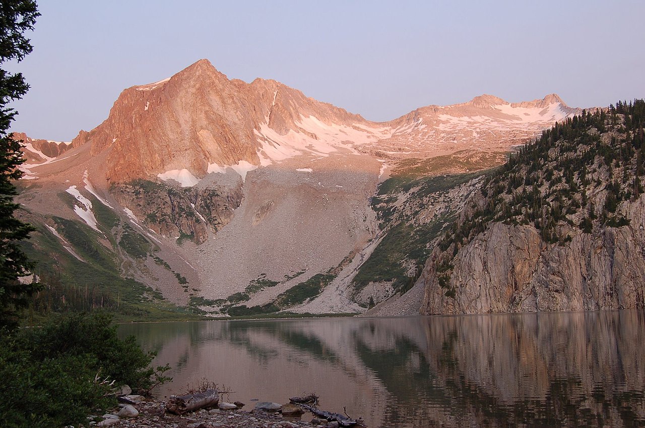 Hagerman PeakSummit · ~22 min drivePhoto: Nelsestu at English Wikipedia, Public domain (via Wikimedia Commons)
 Cathedral PeakSummit · ~24 min drivePhoto: John Sowell, CC BY-SA 4.0 (via Wikimedia Commons)
 Keefe PeakSummit · ~24 min drivePhoto: Jeremiah LaRocco, CC BY-SA 2.0 (via Wikimedia Commons)
 Malemute PeakSummit · ~25 min drivePhoto: Jeremiah LaRocco, CC BY-SA 2.0 (via Wikimedia Commons)
Also worth it near here
 Jaffe ParkCross-country skiing · ~2 min drivePhoto: redlegsfan21 from Vandalia, OH, United States, CC BY-SA 2.0 (via Wikimedia Commons)
- West Side - Lower ButtressRock climbing · ~4 min drivePhoto: David Leo Veksler, CC BY-SA 2.0 (via Flickr)
- Gold Butte Climber's TrailHiking · ~4 min drivePhoto: David Leo Veksler, CC BY-SA 2.0 (via Flickr)
- Top of the RockiesScenic drive · ~5 min drive
Best time to visit Cozy Point
Best months: May–September. Best months have typical highs of 55–85 °F, lows of 30 °F or warmer (32 °F where the station doesn't record snow), at most one snowy day and no more than 12 wet days.
Jan
32° / 10°
13 wet
Feb
35° / 13°
12 wet
Mar
43° / 20°
12 wet
Apr
50° / 27°
12 wet
May
60° / 35°
11 wet
Jun
71° / 42°
8 wet
Jul
76° / 48°
11 wet
Aug
73° / 47°
12 wet
Sep
67° / 40°
10 wet
Oct
55° / 30°
9 wet
Nov
42° / 19°
10 wet
Dec
32° / 10°
12 wet
Typical high / low (°F) and days with rain or snow, 1991–2020. Measured at Aspen 1sw, CO, 4.1 mi away at 8,175 ft. This station doesn't record snowfall. Source: NOAA NCEI U.S. Climate Normals 1991–2020.
