Granite Peak
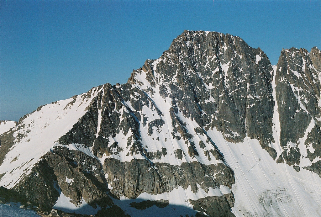 Photo: jfisher2167, CC BY 2.0 (via Wikimedia Commons)
At a glance
Granite Peak is a summit of about 12,789 feet in Park County, Montana, inside the Absaroka-Beartooth Wilderness. It lies within the Beartooth Ranger District of Custer Gallatin National Forest, and the nearest town is Cooke City, about 11 miles away. The peak sits in designated wilderness, so plan for a backcountry approach. Nearby options include the South Central Region climbing area, about 4 miles away, and the Huckleberry Trail and Phantom Lake Trail, both within about 5.5 miles. Emerald Lake Campground, roughly 8 miles off, offers a place to stay.
- summit
- 12,789 ft
Where it is: Absaroka-Beartooth Wilderness · Beartooth Ranger District
Near: Cooke City · 11.2 mi
Been here? Tell people how it was.
We don't know of a mapped trail or route to the summit of Granite Peak. Plan the approach with local maps, a guidebook or a local guide, and check conditions before you go.
- Lookout Mountain9,871 ft · Montana1 route21 mi away
- Arch Rock7,310 ft · Montana1 route27 mi away
- Windy Mountain10,266 ft · Wyoming1 route28 mi away
- Amethyst Mountain9,620 ft · Wyoming1 route32 mi away
- Mount Wallace10,693 ft · Montana1 route32 mi away
 Mount Washburn10,250 ft · Wyoming4 routes40 mi awayPhoto: Eumeldingens, CC BY 3.0 (via Wikimedia Commons)
- South Central RegionRock climbing3.7 mi
- Huckleberry TrailHiking4 mi
- Phantom Lake TrailHiking5.5 mi
- West Rosebud Lake Fishing AccessPier fishing7.8 mi
 Beartooth MountainsRock climbingPhoto: Forest Service - Northern Region, Public domain (via Wikimedia Commons)7.9 mi
- Emerald Lake CampgroundCamping8.1 mi
- Stillwater RiverCanoeing8.7 mi
- East Rosebud CampgroundCamping8.8 mi
 Mount VillardSummitPhoto: Whubsch, CC0 (via Wikimedia Commons)~3 min drive
 Whitetail PeakSummitPhoto: Brent, CC BY 2.0 (via Wikimedia Commons)~20 min drive
 Meridian PeakSummitPhoto: Mike Cline, Public domain (via Wikimedia Commons)~23 min drive
 Amphitheater MountainSummitPhoto: Yellowstone National Park from Yellowstone NP, USA, Public domain (via Wikimedia Commons)~28 min drive
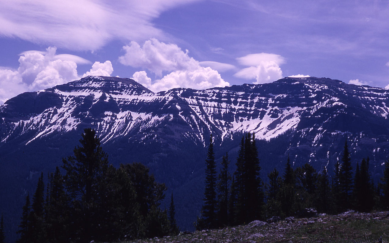 The ThundererSummitPhoto: RG Johnsson, Public domain (via Wikimedia Commons)~37 min drive
 Mount HornadaySummitPhoto: R Alan Mebane, Public domain (via Wikimedia Commons)~38 min drive
 Druid PeakSummitPhoto: Mike Cline, Public domain (via Wikimedia Commons)~44 min drive
 Soda ButteSummitPhoto: HaSt, CC BY-SA 4.0 (via Wikimedia Commons)~45 min drive
 Pollux PeakSummitPhoto: Yellowstone National Park, Public domain (via Wikimedia Commons)~60 min drive
 Mount DelanoSummitPhoto: U.S. Department of Agriculture, Public domain (via Wikimedia Commons)~1h 10m drive
Conditions and forecast
Caution todayAgency alerts are in effect for this areaUSFS · checked 11 h agoDaily highs and lows, wind and the chance of precipitation at the summit for the next 7 days, from the Open-Meteo model.
Questions about Granite Peak
How tall is Granite Peak?
12,789 ft (3,898 m).
Is there a trail to the top of Granite Peak?
We don't know of a mapped trail or route to the summit. Plan the approach with local maps, a guidebook or a local guide.

Ask about this place
Questions about Granite Peak: conditions, access, timing. Answers say when something isn't known.
