Dawson Cabin
Campground
The next 5 weekends are full on Recreation.gov
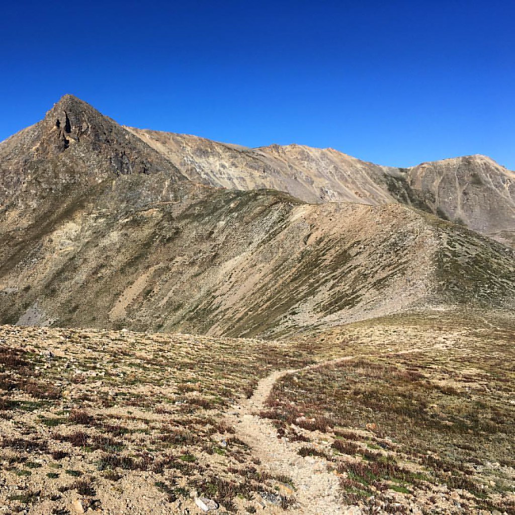 Photo: gregor_y — CC BY-SA 2.0 (via Flickr)
Missouri Mountain is a high, steep out-and-back hike in Colorado's Leadville Ranger District, part of the Pike and San Isabel National Forests. The route starts at the Missouri Gulch Trailhead, and the trail rises from a low point of about 9,646 feet to a summit of 14,074 feet, with a total elevation gain of about 4,549 feet over a distance of about 10.2 miles. The Forest Service manages the land. The climb is rated expert, and the route is long and demanding. The high point sits at 14,074 feet, and the trail passes within a tenth of a mile of Mount Oxford and Mount Belford, which makes it easy to pair with those peaks in a single day. The nearest parking is at the Missouri Gulch trailhead. Dawson Cabin and the Clear Creek paddling route are both about 1.2 miles away. For an overnight base, Crescent Mining Camp is about 2 miles off.
Where it is: Leadville Ranger District · Pike and San Isabel National Forests
Near: Leadville
Been here? Tell people how it was.
Mount OxfordHikingPhoto: gregor_y, CC BY-SA 2.0 (via Flickr)0.1 mi Mount BelfordHikingPhoto: jl_2, CC BY-SA 2.0 (via Flickr)0.1 mi
 Twin Lakes AreaRock climbingPhoto: jonathan c. wheeler, CC BY-SA 3.0 (via Wikimedia Commons)5.1 miMissouri GulchHikingPhoto: gregor_y, CC BY-SA 2.0 (via Flickr)Next door
 Mt. Huron Trail 1507HikingPhoto: jl_2, CC BY-SA 2.0 (via Flickr)~6 min drive
 Twin LakesHikingPhoto: Frans-Banja Mulder, CC BY 3.0 (via Wikimedia Commons)~10 min drive
 Mt. Belford - Missouri GulchHikingPhoto: Mark Crockett, CC BY 3.0 (via Wikimedia Commons)~3 min drive
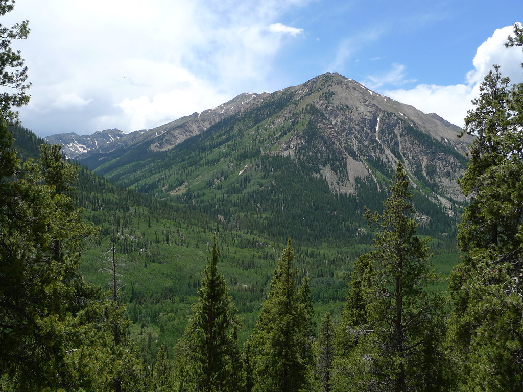 Quail MountainHikingPhoto: jl_2, CC BY-SA 2.0 (via Flickr)~3 min driveIowa PeakHikingPhoto: gregor_y, CC BY-SA 2.0 (via Flickr)Next door
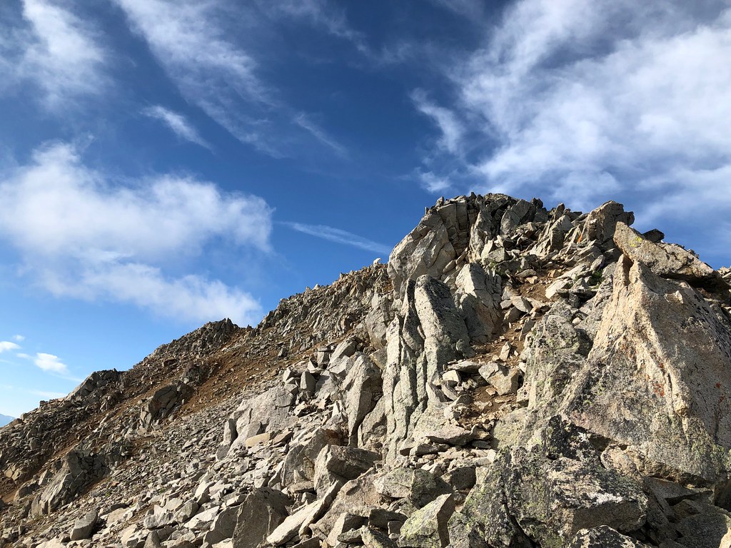 Three ApostlesHikingPhoto: supercraigtalbert, CC BY 2.0 (via Flickr)~10 min driveMissouri MtnHikingPhoto: Mark Crockett, CC BY 3.0 (via Wikimedia Commons)~5 min drive
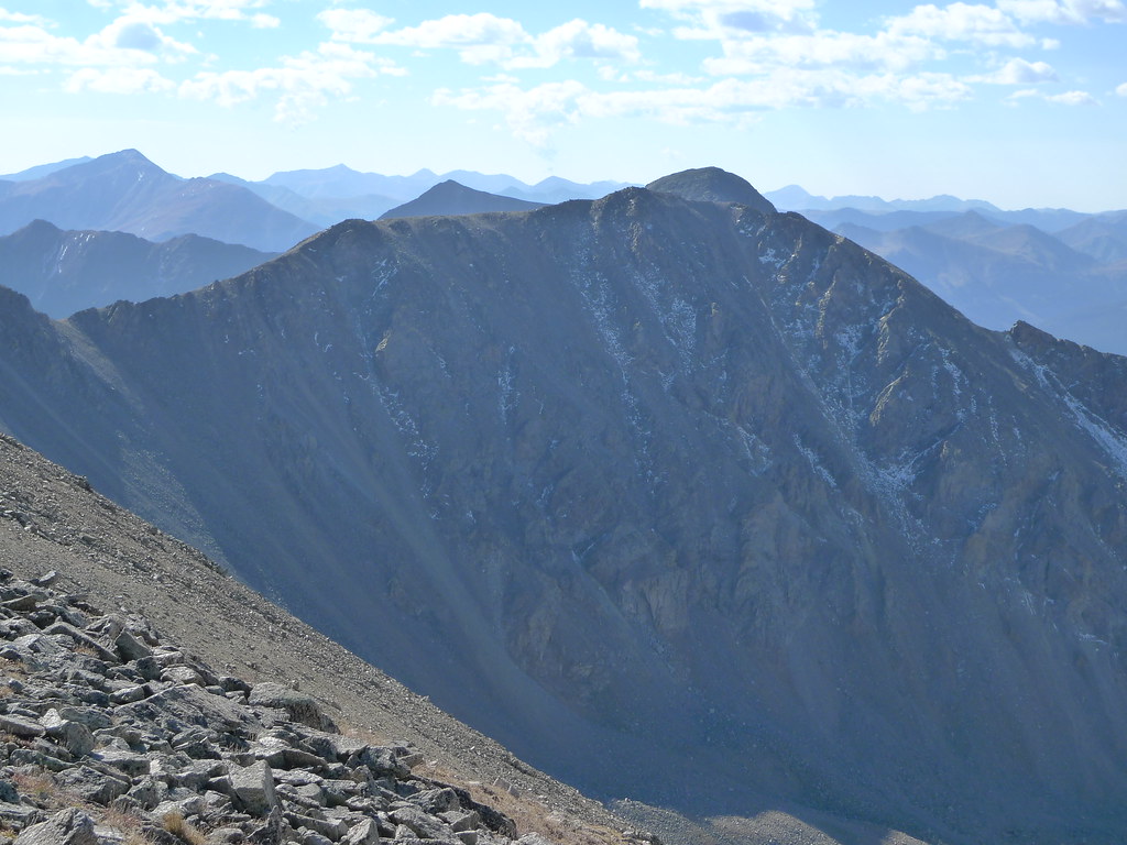 Missouri Mtn - Clohseys LakeHikingPhoto: jl_2, CC BY-SA 2.0 (via Flickr)~7 min driveMount HopeHikingPhoto: jl_2, CC BY-SA 2.0 (via Flickr)~3 min drive
Daily highs and lows, wind and the chance of precipitation at the summit and route start for the next 7 days, from the Open-Meteo model.
Questions about Missouri Mountain: conditions, access, timing. Answers say when something isn't known.
Dawson Cabin
Campground
 If it rainsLongled, CC BY-SA 3.0 · Wikimedia Commons
Historic frontier synagogue building
Places © OpenStreetMap contributors, Places © Overture Maps Foundation · Photos: Longled, CC BY-SA 3.0 (commons)
More in LeadvillePark at MISSOURI GULCH.
About 10.2 mi round trip from Missouri Gulch Trailhead (about 9,670 ft).
About 4,549 ft of climbing round trip.
It is rated expert.
Missouri Gulch Trailhead (about 9,670 ft).
3: Missouri Mtn, Missouri Mountain and Iowa Peak.
© openrouteservice.org by HeiGIT | Map data © OpenStreetMap contributors
