Dawson Cabin
Campground
The next 6 weekends are full on Recreation.gov
 Photo: jl_2, CC BY-SA 2.0 (via Flickr)
Mount Belford is a 14,203-foot summit in the Leadville Ranger District of the Pike and San Isabel National Forests in Colorado, managed by the Forest Service. The route starts in Missouri Gulch and is an out-and-back of about 7.6 miles with a total climb of 4,525 feet. The low point on the route sits at about 9,646 feet, and the summit is the high point. The hike is rated expert, and the round-trip distance and elevation gain make it a serious objective. The route was generated from OpenStreetMap trails and OpenRouteService foot-hiking routing. The closest neighbors are Missouri Mountain and Mount Oxford, both about 0.1 mile away. Dawson Cabin and Clear Creek, a canoeing spot, are each about 1.2 miles off.
Where it is: Leadville Ranger District · Pike and San Isabel National Forests
Near: Leadville
Been here? Tell people how it was.
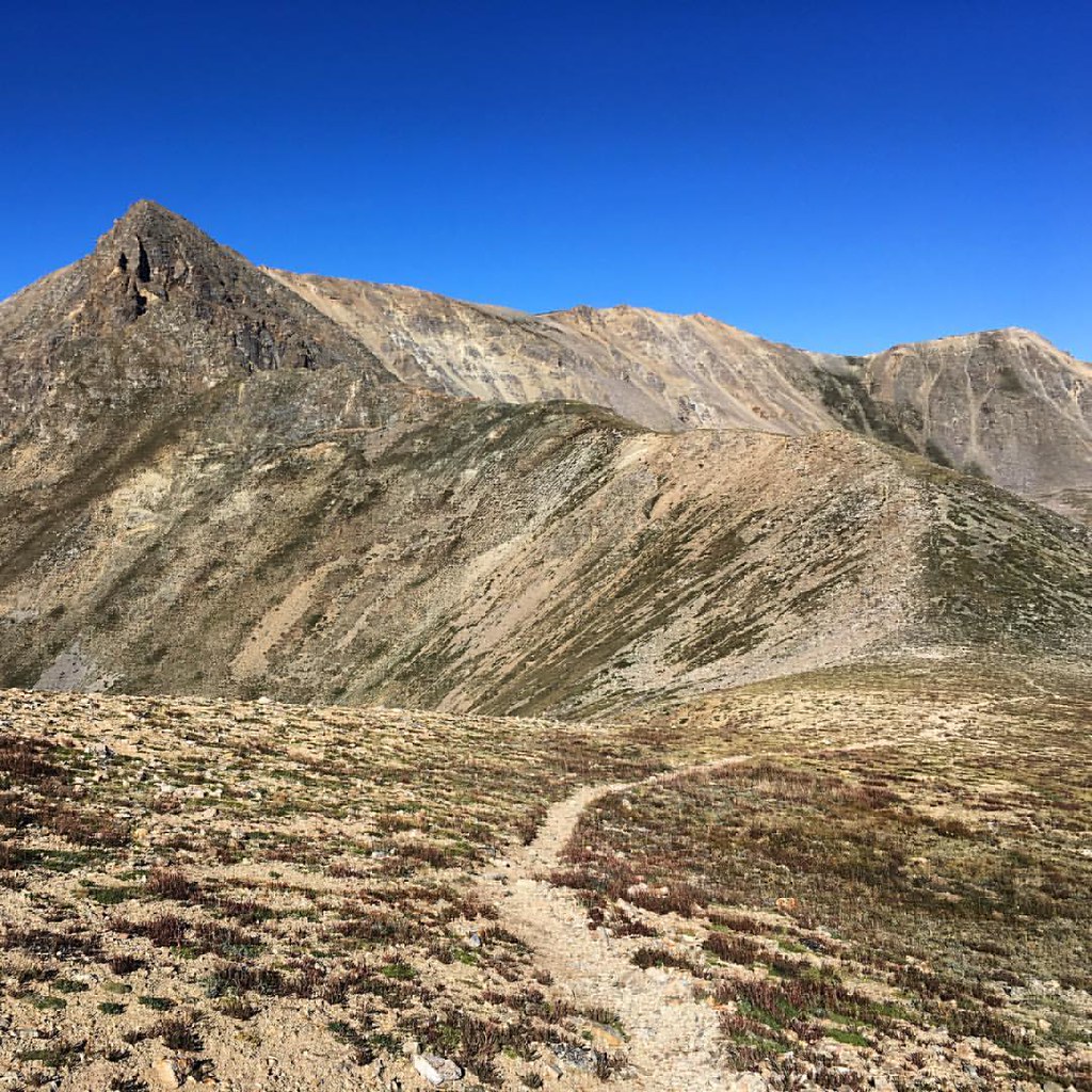 Missouri MountainHikingPhoto: gregor_y — CC BY-SA 2.0 (via Flickr)0.1 miMount OxfordHikingPhoto: gregor_y, CC BY-SA 2.0 (via Flickr)0.1 mi
 Twin Lakes AreaRock climbingPhoto: jonathan c. wheeler, CC BY-SA 3.0 (via Wikimedia Commons)5.1 miIowa PeakHikingPhoto: gregor_y, CC BY-SA 2.0 (via Flickr)Next doorMissouri GulchHikingPhoto: gregor_y, CC BY-SA 2.0 (via Flickr)Next door
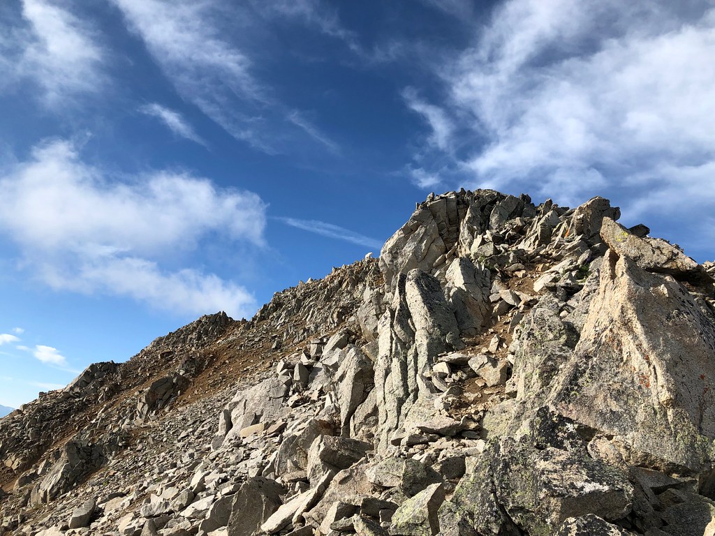 Three ApostlesHikingPhoto: supercraigtalbert, CC BY 2.0 (via Flickr)~10 min drive
 Mt. Belford - Missouri GulchHikingPhoto: Mark Crockett, CC BY 3.0 (via Wikimedia Commons)~3 min drive
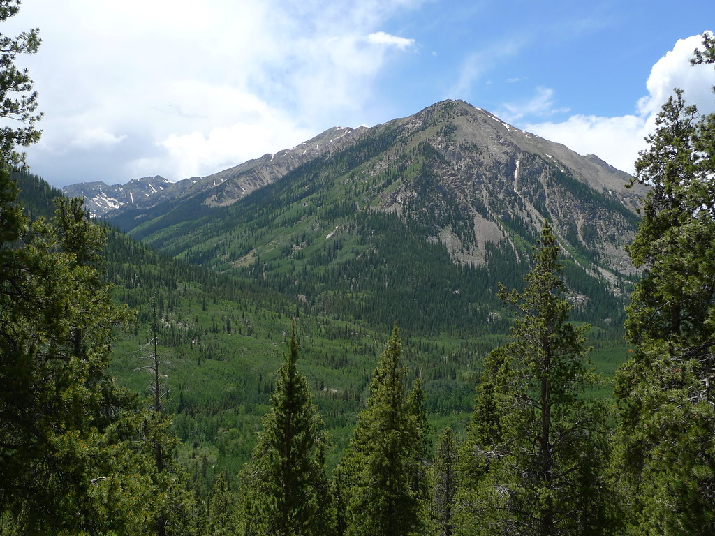 Mount HopeHikingPhoto: jl_2, CC BY-SA 2.0 (via Flickr)~3 min drive
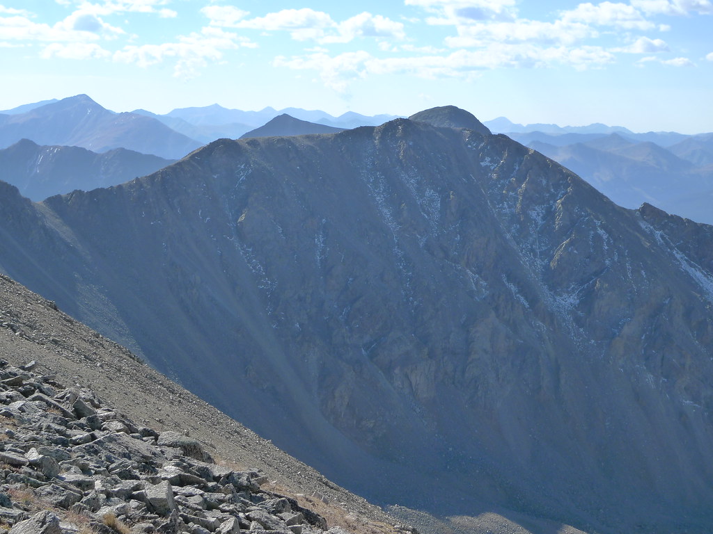 Missouri Mtn - Clohseys LakeHikingPhoto: jl_2, CC BY-SA 2.0 (via Flickr)~7 min drive
 Twin LakesHikingPhoto: Frans-Banja Mulder, CC BY 3.0 (via Wikimedia Commons)~10 min driveMissouri MtnHikingPhoto: Mark Crockett, CC BY 3.0 (via Wikimedia Commons)~5 min driveEmerald PeakHikingPhoto: jl_2, CC BY-SA 2.0 (via Flickr)~3 min drive
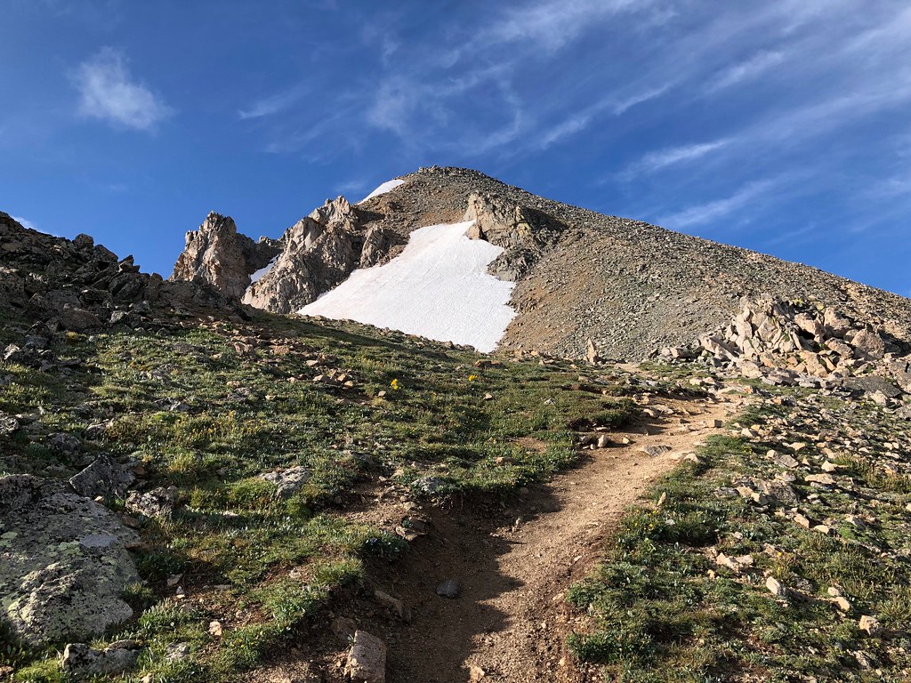 North HuronHikingPhoto: supercraigtalbert, CC BY 2.0 (via Flickr)~9 min drive
Also worth it near here
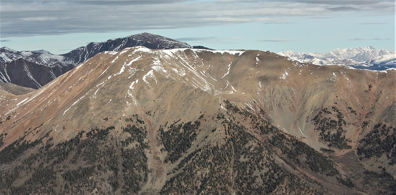 Quail MountainSummitPhoto: Jeremiah LaRocco, CC BY-SA 2.0 (via Wikimedia Commons)~3 min drive
 Missouri Mountain Northface Couloirs (Snow)Ski touringPhoto: xpda, CC BY-SA 4.0 (via Wikimedia Commons)~6 min drive
Daily highs and lows, wind and the chance of precipitation at the summit and route start for the next 7 days, from the Open-Meteo model.
Questions about Mount Belford: conditions, access, timing. Answers say when something isn't known.
Dawson Cabin
Campground
 If it rainsLongled, CC BY-SA 3.0 · Wikimedia Commons
Historic frontier synagogue building
Places © OpenStreetMap contributors, Places © Overture Maps Foundation · Photos: Longled, CC BY-SA 3.0 (commons)
More in LeadvillePark at Missouri Gulch Trailhead.
About 7.6 mi round trip from Missouri Gulch Trailhead (about 9,670 ft).
About 4,525 ft of climbing round trip.
It is rated expert.
Missouri Gulch Trailhead (about 9,670 ft).
4: Mt. Oxford - Mt. Belford, Mt. Belford - Missouri Gulch, Mount Belford and Mount Oxford.
© openrouteservice.org by HeiGIT | Map data © OpenStreetMap contributors
