Fisher River Area
- May–Oct
- best months
Is Fisher River Area open right now?
Closure in the area
There's a closure order in Kootenai National Forest. It doesn't name Fisher River Area, so check the source for the area it covers.
Kootenai Flood Event & Inaccessible Areas
Agency closure covering Kootenai National Forest · USFS · Kootenai National Forest
Updated Skillet Fire Area, Road, Trail Closure
Agency alert covering Kootenai National Forest · Order 01-10- · USFS · Kootenai National Forest
Trail Advisory-Alexander Mountain Trail near Timber Harvest Activities
Agency alert covering Libby Ranger District · USFS · Libby Ranger District
Timberlane Campground Closure
Agency alert covering Libby Ranger District · Order 01-14-05-26-03 · USFS · Libby Ranger District
As of · Source: USFS · Kootenai National Forest. Agencies don't list every closure — check before you go.
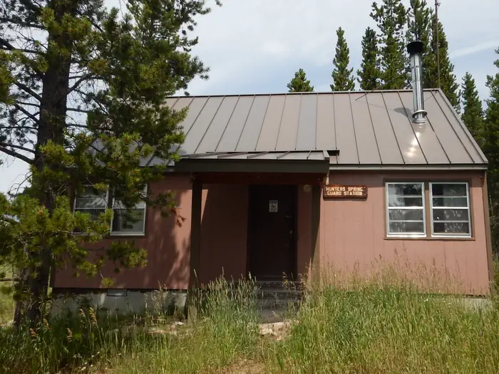
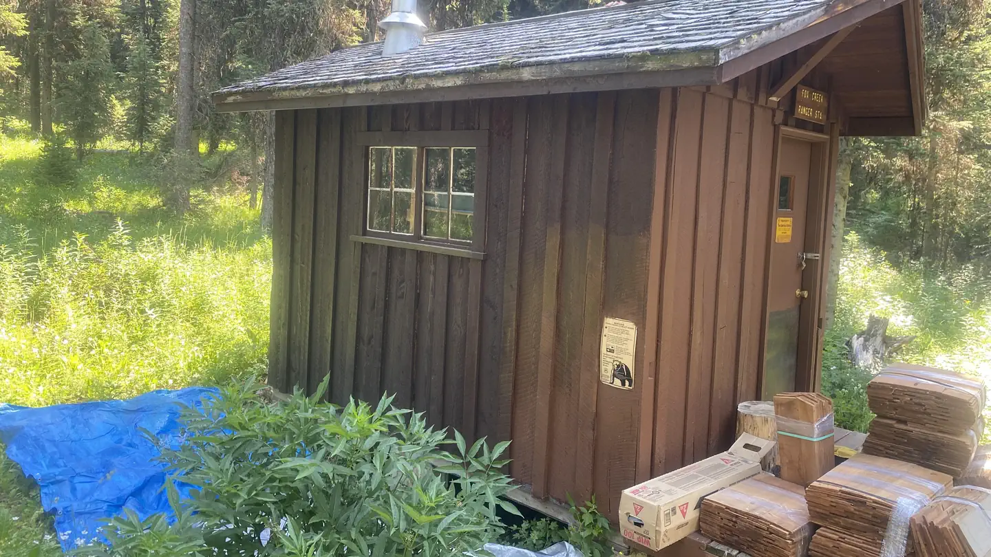
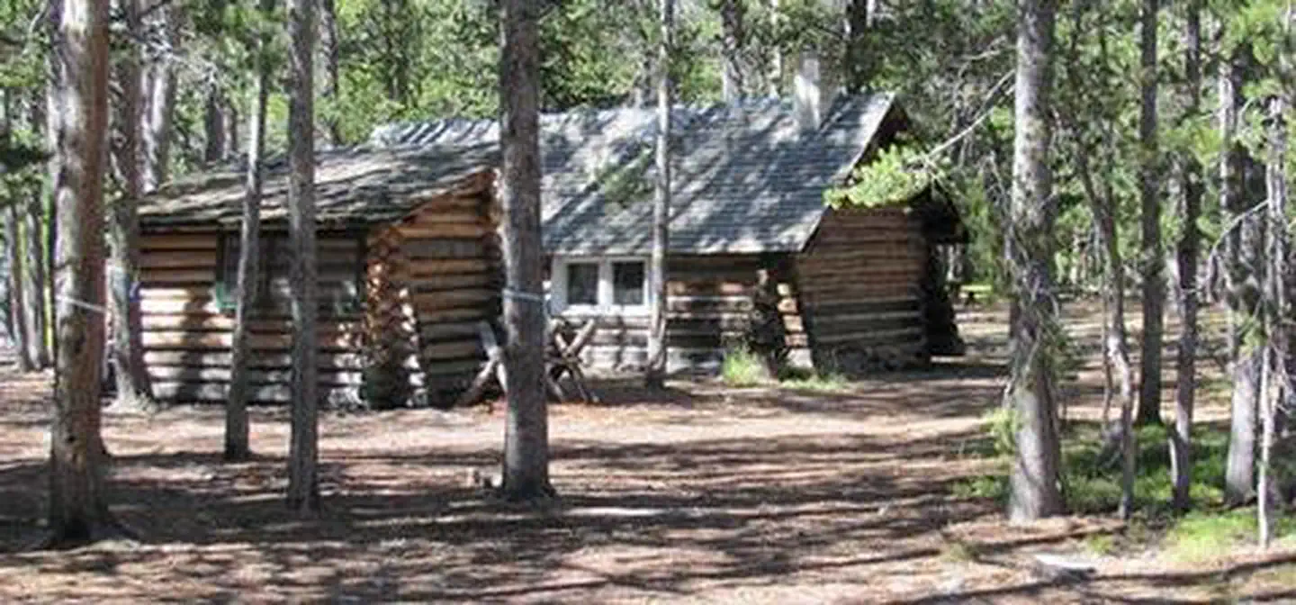
The Fisher River Area is the watershed formed by the four forks (West, East, Silver Butte, Pleasant Valley) of the Fisher River and Wolf Creek. The Area is dominated by intermingled ownership, with Plum Creek Timber Company being the major land owner. This area is bordered on the east by the Flathead National Forest and the south by the Lolo National Forest. The Fisher Area is bisected by US Highway 2 running west to east. The Chain of Lakes consisting of more than 20 lakes is located adjacent to US 2. These lakes offer summer camping/picnicking, fishing, and water sports. Ice fishing is popular on the Chain of Lakes. The Salish Mountains are located north of US 2 and the Cabinet Mountains are located south and west of US 2. Peaks in these Ranges exceed 6500’ elevation. Road densities are high in this Area making access quite easy. More than 100 miles of summer use trail are open and available in this Area. Two developed campgrounds provide facilities for camping and picnicking. The Fisher River Area is a favored destination for big game hunters in the fall.
Local outfitters
- Montana Basecamp37 mi away
- Indian Springs Montana39 mi away
Not on Roamze yet. Their page has how to reach them.
- Fairview Ranger StationCamping0.1 mi
- Wolf CreekCanoeing2.2 mi
- Weigel MountainHiking3.9 mi
- Sugarloaf LookoutHiking4.1 mi
- Dunn CreekHiking5.5 mi
- CANYON DIVIDEHiking5.7 mi
- Weigel CreekHiking6.2 mi
- FlatheadHiking7.7 mi
Source: Roamze catalog (indexable pages within 10 miles, PostGIS distance)
- Kootenai RiverRiver fishing · ~23 min drive
- Barron Creek Boating SiteRiver fishing · ~28 min drive
- Lynch LakeLake fishing · ~19 min drive
- Libby AreaRiver fishing · ~39 min drive
- Lilipad LakeLake fishing · ~33 min drive
- Rainbow LakeLake fishing · ~35 min drive
- Tepee LakeLake fishing · ~37 min drive
- Little Bitterroot LakeLake fishing · ~40 min drive
- McGregor LakeLake fishing · ~41 min drive
- Finger LakeLake fishing · ~41 min drive
Best time to visit Fisher River Area
Best months: May–October. Best months have typical highs of 55–85 °F, lows of 30 °F or warmer (32 °F where the station doesn't record snow), at most one snowy day and no more than 12 wet days.
Jan
35° / 21°
14 wet
Feb
40° / 21°
11 wet
Mar
49° / 26°
12 wet
Apr
58° / 31°
11 wet
May
68° / 39°
12 wet
Jun
75° / 46°
12 wet
Jul
85° / 50°
7 wet
Aug
85° / 49°
6 wet
Sep
74° / 42°
8 wet
Oct
57° / 34°
12 wet
Nov
42° / 27°
14 wet
Dec
34° / 23°
15 wet
Typical high / low (°F) and days with rain or snow, 1991–2020. Measured at Libby Dam (Base), MT, 13.4 mi away at 2,110 ft. The station sits about 900 ft lower than this place, so expect it a little cooler here. This station doesn't record snowfall. Source: NOAA NCEI U.S. Climate Normals 1991–2020.