Estero Bluffs State Park
At a glance
Estero Bluffs State Park is a beach in California's San Luis Obispo Unit, about 3 miles from the town of Cayucos. It is a coastal park, and its shoreline setting makes it a natural stop for a day on the beach. The weather here stays mild year-round, with summer and early fall the driest stretch. Typical averages from a nearby weather station in Morro Bay show highs around 70 to 72°F from August through October, with almost no wet days. Winter brings highs in the mid-60s and a few more wet days each month. Several other outdoor spots sit within about 10 miles. Morro Bay Harbor and Breakwater Boulder offer climbing, and Morro Bay State Park Campground is a place to stay. The Black Hill Trail is a hike about 9 miles away.
- best months
- Jan–Dec
Where it is: San Luis Obispo Unit
Near: Morro Bay
Best time to visit Estero Bluffs State Park
Best months: Year-round. Best months have typical highs of 55–85 °F, lows of 30 °F or warmer (32 °F where the station doesn't record snow), at most one snowy day and no more than 12 wet days.
Jan
65°
46°
7 wet
Feb
65°
48°
8 wet
Mar
66°
49°
7 wet
Apr
67°
49°
4 wet
May
67°
52°
2 wet
Jun
66°
54°
1 wet
Jul
67°
56°
0 wet
Aug
70°
57°
0 wet
Sep
72°
56°
1 wet
Oct
72°
54°
2 wet
Nov
69°
50°
4 wet
Dec
65°
46°
6 wet
Typical high / low (°F) and days with rain or snow, 1991–2020. Measured at Morro Bay Fire Dept, CA, 8 mi away at 118 ft. We don't have this place's elevation, so higher spots nearby can run cooler. Source: NOAA NCEI U.S. Climate Normals 1991–2020.
Been here? Tell people how it was.
- One Shot: Brandon Semenuk's unReal SegmentMountain biking6.3 mi
 Morro Bay HarborRock climbingPhoto: Ken Lund, CC BY-SA 2.0 (via Flickr)7 mi
 Breakwater BoulderRock climbingPhoto: vonguard, CC BY-SA 2.0 (via Flickr)7.1 mi
 Morro Bay State Park CampgroundCampingPhoto: Tony Webster — CC BY-SA 2.0 (via Flickr)7.8 mi
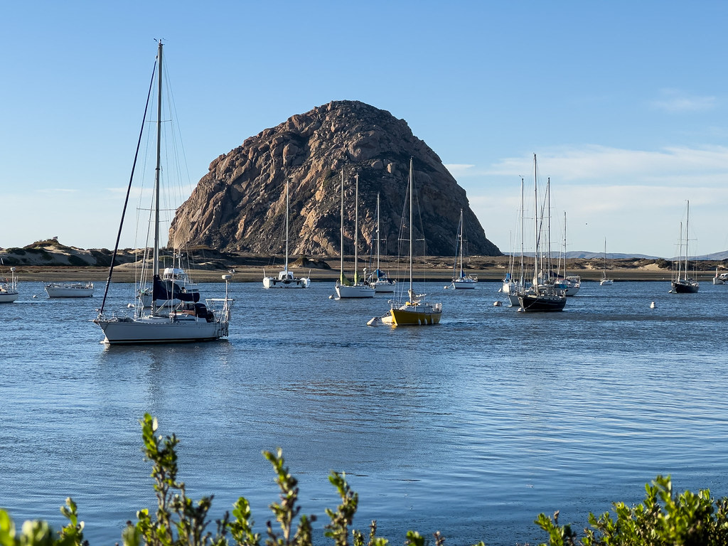 Black Hill TrailHikingPhoto: chucknado, CC BY 2.0 (via Flickr)8.9 mi
 Powerline TrailHikingPhoto: USFWS Pacific Southwest Region, Public Domain Mark (via Flickr)8.9 mi
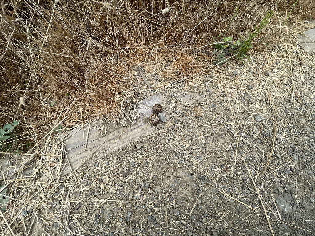 Fleming LoopHikingPhoto: sarahstierch, Public Domain Dedication (CC0) (via Flickr)8.9 mi
- El DoradoRock climbing9.7 mi
- Estero Bluffs State Park (San Geronimo Rd.)BeachNext door
- Estero Bluffs State Park (West)BeachNext door
- Estero Bluffs State Park (East)Beach~2 min drive
- Morro Strand State Beach (North)Beach~5 min drive
- Morro Strand State Beach (Torro Creek Rd.)Beach~8 min drive
- North Point Natural AreaBeach~9 min drive
- Morro Strand State Beach CampgroundBeach~9 min drive
- Path to Beach (Toro Lane)Beach~9 min drive
- Morro Strand State Beach (Atascadero Creek Rd.)Beach~11 min drive
- Morro Strand State Beach - Morro RockBeach~12 min drive
Also worth it near here
- One Shot: Brandon Semenuk's unReal SegmentMountain biking~11 min drive
 Morro RockSummitPhoto: No machine-readable author provided. Kjkolb assumed (based on copyright claims)., CC BY 2.5 (via Wikimedia Commons)~12 min drive
- Morro Bay HarborRock climbingPhoto: Ken Lund, CC BY-SA 2.0 (via Flickr)~12 min drive
Conditions and forecast
Daily highs and lows, wind and the chance of precipitation at Estero Bluffs State Park for the next 7 days, from the Open-Meteo model.
Ask about this place
Questions about Estero Bluffs State Park: conditions, access, timing. Answers say when something isn't known.
