
Guanella Pass Scenic Byway
Campground
4.5 mi from the trail
Epaulet Mountain is a summit of about 13,520 feet in Clear Creek County, Colorado, inside the Mount Evans Wilderness. The peak lies within the South Platte Ranger District of the Pike and San Isabel National Forests, which the Forest Service manages. The nearest town is Silver Plume, about 10 miles away. The Mount Evans Side climbing area sits just 0.4 miles away, and the Mt. Evans - mixed, couloirs climbing area is about 1.4 miles off. For hiking, Mount Blue Sky is roughly 1.9 miles away and Gray Wolf Mountain about 2 miles. Guanella Pass Campground, about 5.4 miles away, is the closest place to camp.
Where it is: Mount Evans Wilderness · South Platte Ranger District
Near: Lakewood
Road closed
CO 5/Mount Blue Sky Road: road closure is listed as closed by CDOT 511.
CO 5/Mount Blue Sky Road: road closure
Closed · ~1.0 km from Epaulet Mountain · CDOT 511
FSR 286, Radical Hill, is closed due to washouts and unsafe conditions
Agency alert covering Pike and San Isabel National Forests · USFS · Pike and San Isabel National Forests
Interlaken Hotel Tree Hazards
Agency alert covering Pike and San Isabel National Forests · USFS · Pike and San Isabel National Forests
Sharpe Fire Update
Agency alert covering Pike and San Isabel National Forests · USFS · Pike and San Isabel National Forests
Turquoise Lake Road (County Road 4) Closure
Agency alert covering Pike and San Isabel National Forests · USFS · Pike and San Isabel National Forests
As of · Source: CDOT 511. Agencies don't list every closure — check before you go.
Been here? Tell people how it was.


 Mt. Evans - mixed, couloirsRock climbingPhoto: regexman, CC BY 2.0 (via Flickr)1.4 mi
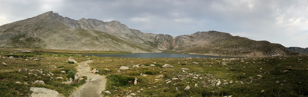 Mount Blue SkyHikingPhoto: regexman, CC BY 2.0 (via Flickr)1.9 miGray Wolf MountainHikingPhoto: regexman, CC BY 2.0 (via Flickr)2 mi
 Geneva CreekCanoeingPhoto: Plazak, CC BY-SA 3.0 (via Wikimedia Commons)6.2 miMount Blue SkySummitPhoto: Lookinhere, CC BY-SA 3.0 (via Wikimedia Commons)~2 min driveRosalie PeakSummitPhoto: McKelvyMG, CC0 (via Wikimedia Commons)~3 min drive
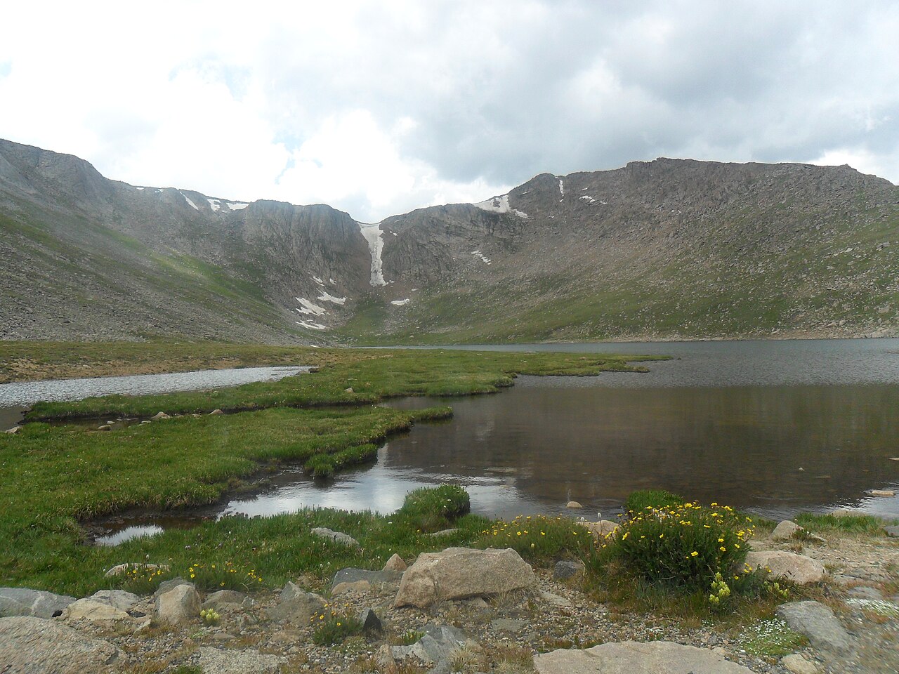 Mount SpaldingSummitPhoto: Hogs555, CC BY-SA 3.0 (via Wikimedia Commons)~4 min drive
 Square Top MountainSummitPhoto: Kylie Stewart, CC BY 2.0 (via Wikimedia Commons)~12 min drive
 Argentine PeakSummitPhoto: Jeff Holland from Denver, CC BY-SA 2.0 (via Wikimedia Commons)~14 min drive
 Mount EdwardsSummitPhoto: Xnatedawgx, CC BY-SA 3.0 (via Wikimedia Commons)~17 min drive
 Ruby MountainSummitPhoto: Robert Tadlock, CC BY 2.0 (via Wikimedia Commons)~18 min drive
 Grays PeakSummitPhoto: Adam Ginsburg, CC BY-SA 2.5 (via Wikimedia Commons)~19 min drive
 Cooper MountainSummitPhoto: Robert Tadlock from Westminster, CC BY 2.5 (via Wikimedia Commons)~19 min drive
 Lenawee MountainSummitPhoto: Ben Mason from Denver, CC BY 2.0 (via Wikimedia Commons)~22 min drive
Daily highs and lows, wind and the chance of precipitation at the summit and burning bear / abyss lake trailhead for the next 7 days, from the Open-Meteo model.
13,520 ft (4,121 m).
One: Epaulet Mountain.
Epaulet Mountain starts at Burning Bear / Abyss Lake Trailhead.
Questions about Epaulet Mountain: conditions, access, timing. Answers say when something isn't known.
Guanella Pass Scenic Byway
Campground
 If it rainsUser:Magicpiano, CC BY-SA 4.0 · Wikimedia Commons
Historic house-museum in Georgetown, Colorado, United States
Places © OpenStreetMap contributors · Photos: User:Magicpiano, CC BY-SA 4.0 (commons)
More in Idaho Springs