Rancho Del Rio
Hiking business nearby (~20 mi away) — hasn't claimed their Roamze page yet
Avon, Colorado
Free — you'll pick up right here.
2.5 mi
Distance
800 ft
Gain
1h 30m
Time
We won't guess. Here is exactly what we do and don't know.
What we do know
Inside White River National Forest
2 managing-area boundaries mapped — agency alerts for them feed this page automatically.
Boundary data
What's missing
No access route mapped
We don't yet know which road reaches this trailhead, so we can't tell you if it's gated.
Nobody's filed a report here yet — be the first.
Why you'll love it
Elkhorn Trail
Suggested plan · check conditions before you go
No permit or access details on file for this trail — check with the local land manager before you go.
Elkhorn Trail is a 2.53-mile trail in Colorado with 800 feet of elevation gain. The trail follows a point-to-point route through the Colorado backcountry.
Source: Roamze elevation profile and trail geometry (DEM samples along the mapped route)
Source: USFS EDW boundaries
Active alerts for White River National Forest as of Oct 9, 2026:
Holy Cross Wilderness, Prohibitions
information · posted Oct 8, 2026
Helicopter operations planned at Chapman Gulch Trailhead near Basalt Oct. 15 or Oct. 16
information · posted Oct 1, 2026
Xcel Energy Helicopter Maintenance Between Basalt and Leadville Through October 11
information · posted Oct 1, 2026
Crystal River Road east of Marble to be closed weekdays Oct. 5-13
caution · posted Sep 28, 2026
White River National Forest lifting fire restrictions on Friday Sept. 25
fire-restriction · posted Sep 23, 2026
FSR 286, Radical Hill, is closed due to washouts and unsafe conditions
caution · posted Sep 21, 2026
Maroon Creek Road open to vehicles
information · posted Sep 18, 2026
Maroon Bells - Snowmass Wilderness, Camping and other rules
information · posted Sep 17, 2026
Water not available at Lowry, Prospector, Windy Point and Marvine Campgrounds
caution · posted Sep 11, 2026
No water for campers at Ruedi Reservoir Campgrounds; Little Maud and Mollie B closed
information · posted Sep 9, 2026
Source: USFS forest alerts
Source: Roamze catalog (indexable pages within 10 miles, PostGIS distance)
 Photo: wka, CC BY-SA 2.0 (via Flickr)
Meadow Mountain
~5 min drive
10.82-mile out-and-back trail in Colorado with 423 ft gain and 9,792 ft max elevation.
Photo: wka, CC BY-SA 2.0 (via Flickr)Whiskey Creek
~5 min drive
5.57-mile out-and-back trail in Colorado managed by White River National Forest.
 Photo: vwcampin, CC BY 2.0 (via Flickr)
Wild West Ridge
~5 min drive
1.66-mile trail in Colorado with 600 ft gain and ridge exposure.
Stone Creek Ditch
~4 min drive
0.32-mile loop trail in Colorado with 72 ft elevation gain.
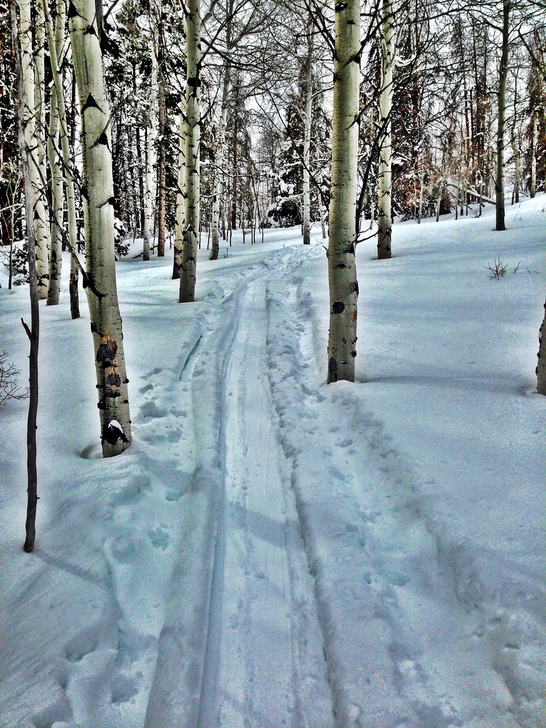 Photo: jrm353, CC BY 2.0 (via Flickr)
Grouse Lake
~8 min drive
7.85-mile out-and-back trail in Colorado with 3,252 ft elevation gain.
 Photo: aperturismo, CC BY-SA 2.0 (via Flickr)
Buck Creek
~6 min drive
6.91-mile out-and-back trail in Colorado's White River National Forest with 1,947 ft of elevation gain.
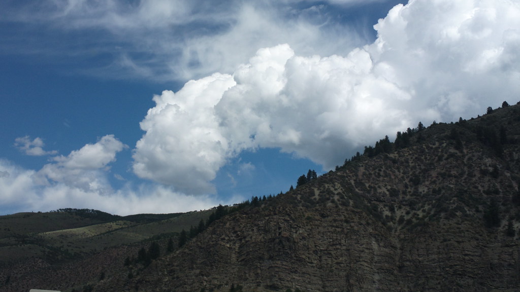 Photo: roland, CC BY 2.0 (via Flickr)
Davos Trail
~7 min drive
Davos Trail is a 1.98-mile trail in Colorado with 400 feet of elevation gain.
Grouse Mountain
~9 min drive
6.00-mile out-and-back trail in Colorado at 11,828 ft elevation.
Photo: jrm353, CC BY 2.0 (via Flickr)Hay Meadow
~9 min drive
5.70-mile out-and-back trail in Colorado's White River National Forest with 1,362 ft gain.
Daybreak Ridge
~1 min drive
1.38-mile ridge trail in Colorado with 400 ft of elevation gain.
Map and trail data © OpenStreetMap contributors
Local operators near Avonoffering guided trips. You book directly with them — Roamze doesn’t take a cut.
Rancho Del Rio
Hiking business nearby (~20 mi away) — hasn't claimed their Roamze page yet
Maroon Bells Guide and Outfitters
Hiking business nearby (~36 mi away) — hasn't claimed their Roamze page yet
Flat Tops Wilderness Guides
Hiking business nearby (~38 mi away) — hasn't claimed their Roamze page yet
