
Camp Patiya
Campground
4.2 mi from the trail
 Photo: Netoe, CC BY-SA 4.0 (via Wikimedia Commons)
Eldorado Mountain is a summit in Colorado, rising to 8,333 feet on city-managed land about 3 miles from the town of Eldorado Springs. The peak sits within the Eldorado Mountain (Conda Quarry) land unit, and its elevation makes it a natural anchor for the surrounding area's climbing, hiking and mountain biking. Summer is the most comfortable time to visit. A nearby weather station at a similar elevation records typical July highs around 79°F with lows near 50°F, while winter highs stay in the low to mid 40s. Climbers have two areas close by: Mickey Mouse Wall and Ridge 1, both about half a mile away. Rattlesnake Gulch Trail, a mountain biking route, is 0.8 miles off, and the Mickey Mouse Trail hike is about a mile away.
Where it is: Eldorado Mountain (Conda Quarry)
Near: Boulder
Best months: May–September. Best months have typical highs of 55–85 °F, lows of 30 °F or warmer (32 °F where the station doesn't record snow), at most one snowy day and no more than 12 wet days.
Jan
39°
17°
5 wet
Feb
40°
17°
5 wet
Mar
47°
22°
6 wet
Apr
52°
27°
8 wet
May
61°
35°
10 wet
Jun
73°
44°
9 wet
Jul
79°
50°
10 wet
Aug
77°
48°
11 wet
Sep
70°
41°
8 wet
Oct
57°
31°
6 wet
Nov
47°
24°
5 wet
Dec
40°
17°
5 wet
Typical high / low (°F) and days with rain or snow, 1991–2020. Measured at Gross Rsvr, CO, 3.3 mi away at 7,970 ft. This station doesn't record snowfall. Source: NOAA NCEI U.S. Climate Normals 1991–2020.
Been here? Tell people how it was.
We don't know of a mapped trail or route to the summit of Eldorado Mountain. Plan the approach with local maps, a guidebook or a local guide, and check conditions before you go.


 Mickey Mouse TrailHikingPhoto: neverbutterfly, CC BY 2.0 (via Flickr)1.1 mi
 South Boulder CreekCanoeingPhoto: Jeffrey Beall, CC BY 3.0 (via Wikimedia Commons)6.3 mi
 Boulder CreekCanoeingPhoto: Susan from Alameda, CA, USA, CC BY 2.0 (via Wikimedia Commons)6.7 miBear PeakSummitPhoto: Thomson200, CC0 (via Wikimedia Commons)~5 min driveGreen MountainSummitPhoto: Thomson200, CC0 (via Wikimedia Commons)~8 min drive
 The FlatironsSummitPhoto: Jesse Varner, CC BY-SA 2.5 (via Wikimedia Commons)~8 min drive
 Thorodin MountainSummitPhoto: Craig Talbert, CC BY 2.0 (via Wikimedia Commons)~13 min drive
 Douglas MountainSummitPhoto: Jeffrey Beall, CC BY 4.0 (via Wikimedia Commons)~17 min drive
 North Table MountainSummitPhoto: Rick Kimpel from Spring, TX, USA, CC BY-SA 2.0 (via Wikimedia Commons)~17 min drive
 Centennial ConeSummitPhoto: Jeffrey Beall, CC BY 4.0 (via Wikimedia Commons)~20 min drive
 South Table MountainSummitPhoto: Rick Kimpel from Spring, TX, USA, CC BY-SA 2.0 (via Wikimedia Commons)~20 min drive
 Mount ZionSummitPhoto: Ben Mason from Denver, CC BY 2.0 (via Wikimedia Commons)~21 min drive
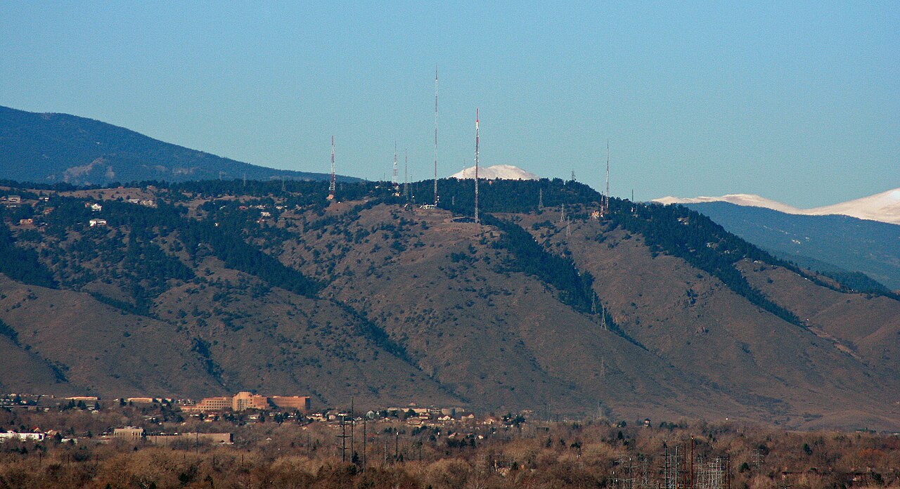 Lookout MountainSummitPhoto: Jeffrey Beall, CC BY 3.0 (via Wikimedia Commons)~23 min drive
Daily highs and lows, wind and the chance of precipitation at the summit for the next 7 days, from the Open-Meteo model.
8,333 ft (2,540 m).
We don't know of a mapped trail or route to the summit. Plan the approach with local maps, a guidebook or a local guide.
Questions about Eldorado Mountain: conditions, access, timing. Answers say when something isn't known.
Camp Patiya
Campground
 If it rainsNwest21, CC BY-SA 4.0 · Wikimedia Commons
Planetarium in the United States
Places © OpenStreetMap contributors, Places © Overture Maps Foundation · Photos: Nwest21, CC BY-SA 4.0 (commons)
More in Idaho Springs