Camp Host
Campground
Campground · 0.4 mi from the trail
Caution today
Agency alerts are in effect for this area; weather is good · USFS, OpenWeather · checked 35 min ago
No closures listed
The Forest Service lists no closures for Uinta-Wasatch-Cache National Forest.
As of · Source: USFS · Uinta-Wasatch-Cache National Forest. Agencies don't list every closure — check before you go.
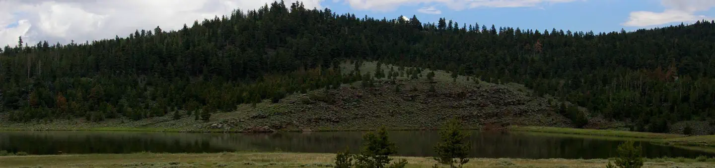
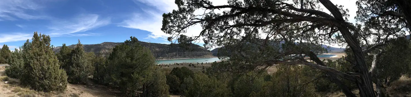
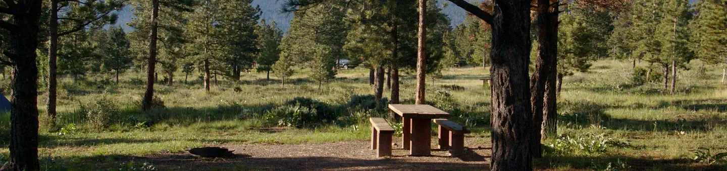
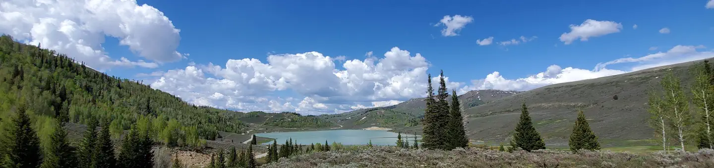
Echo Reservoir is a fishing lake in Utah's Uinta-Wasatch-Cache National Forest, within the Pleasant Grove Ranger District. The Forest Service manages the land, and the reservoir sits about 2.5 miles from the Timpanogos Cave weather station, which makes it a convenient reference for planning around the area's typical weather. The most comfortable stretch for a visit runs from late spring through early fall. Typical averages from that nearby station show June highs around 78°F and September highs around 76°F, with July the warmest month at about 88°F. Winters are cold, with January highs near 34°F and lows around 22°F. Fishing is the main draw here, and the reservoir pairs well with other outdoor options close by. The Haven and Eavesdown Docks climbing areas are each about 0.3 miles away, and the Sawmill river fishing spot is about 1.1 miles off. For an overnight stay, Timpooneke Campground is about 1.8 miles away.
Camp Host
Campground
 If it rainsGreenwoodKL, CC BY-SA 3.0 · Wikimedia Commons
Life sciences museum at Brigham Young University in Provo, Utah, United States
Places © OpenStreetMap contributors · Photos: GreenwoodKL, CC BY-SA 3.0 (commons)
More in HeberNot on Roamze yet. Their page has how to reach them.
Best months: April–June and September–October. Best months have typical highs of 55–85 °F, lows of 30 °F or warmer (32 °F where the station doesn't record snow), at most one snowy day and no more than 12 wet days.
Jan
34° / 22°
Feb
40° / 24°
Mar
49° / 31°
Apr
56° / 35°
May
66° / 44°
Jun
78° / 52°
Jul
88° / 60°
Aug
86° / 58°
Sep
76° / 50°
Oct
60° / 39°
Nov
44° / 30°
Dec
33° / 22°
Typical high / low (°F) and days with rain or snow, 1991–2020. Measured at Timpanogos Cave, UT, 2.5 mi away at 5,740 ft. This station doesn't record snowfall. Source: NOAA NCEI U.S. Climate Normals 1991–2020.
SEE
Silver Lake
~8 min drive
Silver Lake is a 12-acre lake near Sundance, Utah, at about 8,960 feet. It is managed by the U.S. Forest Service.
SEE
Sawmill
~2 min drive
SEE
Lake Catherine
~16 min drive
SEE
Shingle Creek, East
~52 min drive
SEE
Lake Martha
~17 min drive
SEE
Shingle Creek, West
~52 min drive
SEE
Utah Lake
~17 min drive
Utah Lake is a 22-acre lake near Lindon, Utah, at about 4,495 feet.
SEE
Chicken Creek East
~54 min drive
SEE
Lake Mary
~17 min drive
Lake Mary is a 18-acre lake near Brighton, Utah, at about 9,522 feet. It is managed by the U.S. Forest Service.
SEE
Shingle Creek, Lower
~52 min drive