Ebright Azimuth
At a glance
Ebright Azimuth is a climbing area in southeastern Pennsylvania, right across the state line from Delaware. The nearest town is Westbrite, Delaware, about a tenth of a mile away. The area sits close to the Brandywine River corridor, which makes it an easy addition to a day of hiking or climbing on the Delaware side. The climbing here is a single traditional route, The South Face Indirect, a 5.2 that was first climbed by Danny Deckers and Chris Perrin. It is the only route listed in the area, and it is a straightforward trad climb with a single grade. For the most comfortable conditions, late spring and early fall are the best bets. Typical averages from a nearby weather station in Wilmington run to highs around 71°F in May and 75°F in September, while July highs reach about 84°F. Winter is cold, with January highs near 38°F and lows around 24°F. Nearby options include the Rocky Run and Hidden Pond hikes, both about 3 miles away, and the Brandywine Trail, about 4 miles off. For more climbing, Rockwood Park / Greenway Trail is roughly 4.3 miles away.
1 route · 5.2 · Trad
- best months
- Apr–Oct
Near: Wilmington
Best time to visit Ebright Azimuth
Best months: April–October. Best months have typical highs of 55–85 °F, lows of 30 °F or warmer (32 °F where the station doesn't record snow), at most one snowy day and no more than 12 wet days.
Jan
38°
24°
10 wet · 2 snow
Feb
41°
25°
9 wet · 2 snow
Mar
49°
32°
10 wet · 1 snow
Apr
61°
43°
10 wet
May
71°
52°
11 wet
Jun
79°
62°
10 wet
Jul
84°
67°
9 wet
Aug
82°
66°
9 wet
Sep
75°
59°
8 wet
Oct
63°
47°
9 wet
Nov
53°
37°
8 wet
Dec
43°
29°
10 wet · 1 snow
Typical high / low (°F) and days with rain or snow, 1991–2020. Measured at Wilmington Porter Rsch, DE, 4.5 mi away at 270 ft. Source: NOAA NCEI U.S. Climate Normals 1991–2020.
Been here? Tell people how it was.
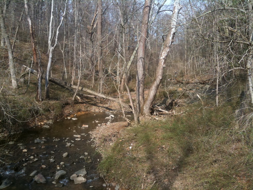 Rocky RunHikingPhoto: diaper, CC BY 2.0 (via Flickr)3 mi
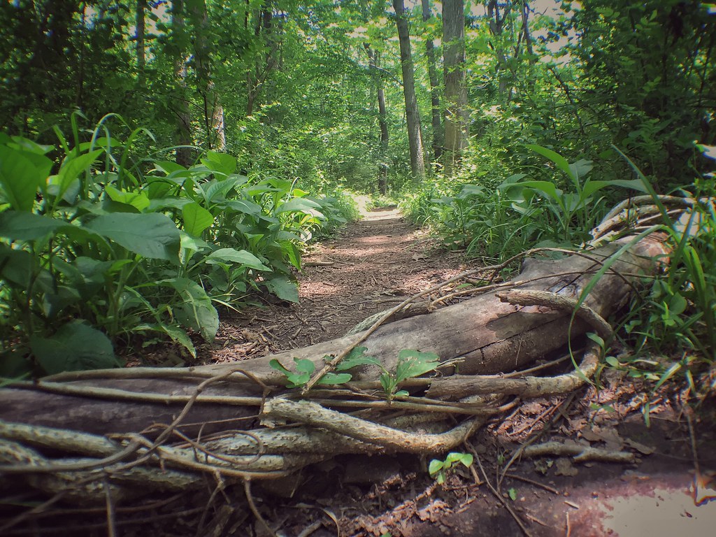 Hidden PondHikingPhoto: Ryanjwalker, CC BY 2.0 (via Flickr)3.4 mi
- Brandywine CreekRiver fishing3.9 mi
- Creekside TrailHikingPhoto: Ryanjwalker, CC BY 2.0 (via Flickr)3.9 mi
- Brandywine TrailHikingPhoto: Ryanjwalker, CC BY 2.0 (via Flickr)4 mi
- Rockwood Park / Greenway TrailRock climbing4.3 mi
- Main Roped Climbing WallRock climbing5.1 mi
- Spearhead BoulderRock climbing5.5 mi
 Livezey RockRock climbingPhoto: Quincy Morgan, CC0 (via Wikimedia Commons)~38 min drive
- Main RockRock climbingPhoto: Quincy Morgan, CC0 (via Wikimedia Commons)~38 min drive
 Devil's Pool BoulderRock climbingPhoto: Molly Des Jardin, CC BY 3.0 (via Wikimedia Commons)~38 min drive
- The Thorny BoulderRock climbingPhoto: Molly Des Jardin, CC BY 3.0 (via Wikimedia Commons)~38 min drive
- Valley GreenRock climbingPhoto: Molly Des Jardin, CC BY 3.0 (via Wikimedia Commons)~38 min drive
- Rockwood Park / Greenway TrailRock climbing~7 min drive
- Main Roped Climbing WallRock climbing~9 min drive
- Spearhead BoulderRock climbing~9 min drive
- Lower TierRock climbing~9 min drive
- Rockford ParkRock climbing~9 min drive
Conditions and forecast
Daily highs and lows, wind and the chance of precipitation at Ebright Azimuth for the next 7 days, from the Open-Meteo model.
Ask about this place
Questions about Ebright Azimuth: conditions, access, timing. Answers say when something isn't known.
