
Windham County 4H Camp
Campground
3.0 mi from the trail
Daven Hill is a summit in Connecticut, about 2 miles from the community of Quasset Lake. It sits at 861 feet of elevation. For comfortable weather, aim for late spring through early fall. Typical averages from a nearby weather station at W Thompson Lake show September highs around 73°F with lows near 51°F, and July highs around 82°F. That station sits well below the summit, so temperatures on top run cooler. The Mountain Laurel Trail starts just 0.4 miles away. Paddlers can head to the Still River, about 3 miles off, and climbers will find Natchaug State Forest roughly 5 miles away. For an overnight stay, Charlie Brown Campground is about 5 miles from the hill.
Near: Quasset Lake · 2 mi
Early April to early June and early September to mid-November are usually best for the summit here.
Typical highs of 50–75°F and lows of 30°F or warmer in those weeks. Rain falls on about 40% of days at the wettest of them, so plan around showers.
Typical weather: NOAA 1991–2020 normals at W Thompson Lake, CT, 6 mi away. Not a forecast.
Typical weather by monthBest months: April–May and September–November. Best months are the ones mostly made of the best weeks for the summit: typical temperatures in its comfortable range, few snowy days and not usually wet, judged with the same limits as our good-day forecasts.
Jan
35°
15°
11 wet · 4 snow
Feb
38°
16°
10 wet · 3 snow
Mar
46°
24°
11 wet · 2 snow
Apr
58°
34°
11 wet
May
69°
45°
12 wet
Jun
76°
54°
11 wet
Jul
82°
60°
11 wet
Aug
80°
58°
10 wet
Sep
73°
51°
9 wet
Oct
61°
38°
10 wet
Nov
50°
30°
10 wet · 1 snow
Dec
40°
22°
11 wet · 2 snow
Typical high / low (°F) and days with rain or snow, 1991–2020. Measured at W Thompson Lake, CT, 6.3 mi away at 360 ft. The station sits about 500 ft lower than this place, so expect it a little cooler here. Source: NOAA NCEI U.S. Climate Normals 1991–2020.
Been here? Tell people how it was.
 Mashamoquet Brook State ParkRock climbingPhoto: Ehkastning, CC BY-SA 3.0 (via Wikimedia Commons)5.1 mi
 Jerimoth HillSummitPhoto: Khoule23 at English Wikipedia, Public domain (via Wikimedia Commons)~23 min drive
 Soapstone MountainSummitPhoto: Morrowlong, CC BY-SA 3.0 (via Wikimedia Commons)~35 min drive
 Quabbin HillSummitPhoto: Pi.1415926535, CC BY-SA 4.0 (via Wikimedia Commons)~53 min drive
 Cochegan RockSummitPhoto: Unknown authorUnknown author, Public domain (via Wikimedia Commons)~54 min drive
 Meeting House HillSummitPhoto: John Phelan, CC BY-SA 3.0 (via Wikimedia Commons)~56 min drive
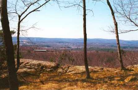 Provin MountainSummitPhoto: 5ju989nfhs50 at English Wikipedia, CC BY 3.0 (via Wikimedia Commons)~1h 3m drive
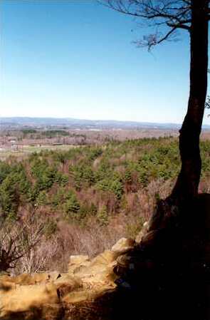 West Suffield MountainSummitPhoto: 5ju989nfhs50 at English Wikipedia, CC BY 3.0 (via Wikimedia Commons)~1h 4m drive
 Peaked MountainSummitPhoto: John Phelan, CC BY-SA 3.0 (via Wikimedia Commons)~32 min drive
 Fox HillSummitPhoto: Elipongo, Public domain (via Wikimedia Commons)~38 min drive
 Pigeon HillSummitPhoto: Davidafranklin, CC BY-SA 4.0 (via Wikimedia Commons)~60 min drive
Daily highs and lows, wind and the chance of precipitation at the summit and route start for the next 7 days, from the Open-Meteo model.
861 ft (262 m).
One: Mountain Laurel Trail.
Questions about Daven Hill: conditions, access, timing. Answers say when something isn't known.
Windham County 4H Camp
Campground
 If it rainsMichael Rodriguez, CC BY-SA 4.0 · Wikimedia Commons
Places © OpenStreetMap contributors, Places © Overture Maps Foundation · Photos: Michael Rodriguez, CC BY-SA 4.0 (commons)
More in Danielson