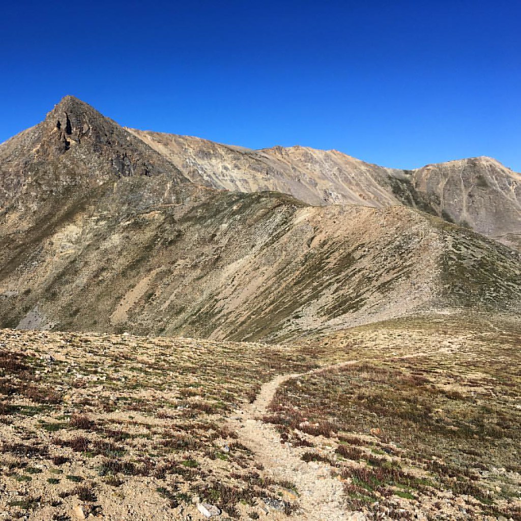
Crescent Mining Camp
Campground
< 0.1 mi from the trail
Crescent Mining Camp is a Forest Service campground in the Leadville Ranger District of the Pike and San Isabel National Forests in Colorado, about 0.1 mile from the town of Rockdale. The site is a historic cabin camp built in the 1890s during the gold and silver mining boom in Clear Creek Canyon. The cabins are fully rustic, with no electricity or running water, and visitors can expect vault toilets as the only facility. The camp sits beside a road heavily used by off-highway vehicles (OHV), but the cabins have a private drive with a locking gate. That makes it a good base for OHV riders, though not for those seeking quiet and solitude. Summer is the most comfortable time to visit. Typical averages from a nearby weather station at Twin Lakes show July highs around 74°F with lows near 43°F, while winter highs stay in the mid-30s. Quail Mountain and Mount Hope are both about half a mile away, and Winfield Trailhead is roughly 1.7 miles off. Clear Creek, about 3.2 miles away, offers canoeing.
Where it is: Leadville Ranger District · Pike and San Isabel National Forests
Near: Leadville
You book with Recreation.gov. Roamze doesn't take a cut.
Sites open up when people cancel. We check Recreation.gov and email you when a site opens for your dates.
Best months: June–September. Best months have typical highs of 55–85 °F, lows of 30 °F or warmer (32 °F where the station doesn't record snow), at most one snowy day and no more than 12 wet days.
Jan
34°
5°
4 wet
Feb
35°
5°
5 wet
Mar
41°
13°
6 wet
Apr
46°
21°
6 wet
May
58°
30°
7 wet
Jun
70°
37°
8 wet
Jul
74°
43°
11 wet
Aug
71°
42°
12 wet
Sep
65°
35°
8 wet
Oct
53°
26°
5 wet
Nov
42°
17°
4 wet
Dec
34°
8°
4 wet
Typical high / low (°F) and days with rain or snow, 1991–2020. Measured at Twin Lakes Rsvr, CO, 7.8 mi away at 9,236 ft. The station sits about 700 ft lower than this place, so expect it a little cooler here. This station doesn't record snowfall. Source: NOAA NCEI U.S. Climate Normals 1991–2020.
Been here? Tell people how it was.
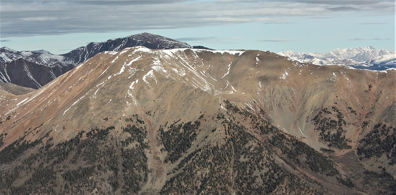
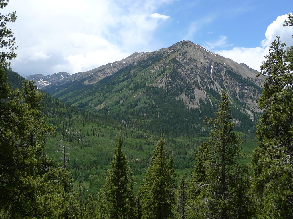 Quail MountainHikingPhoto: jl_2, CC BY-SA 2.0 (via Flickr)0.5 miMount HopeHikingPhoto: jl_2, CC BY-SA 2.0 (via Flickr)0.5 mi
 Twin Lakes AreaRock climbingPhoto: jonathan c. wheeler, CC BY-SA 3.0 (via Wikimedia Commons)5.4 mi
 Mt. Princeton RV Park & CabinsCampingPhoto: Nolabob, CC BY-SA 4.0 (via Wikimedia Commons)~29 min drive
Daily highs and lows, wind and the chance of precipitation at Crescent Mining Camp for the next 7 days, from the Open-Meteo model.
Questions about Crescent Mining Camp: conditions, access, timing. Answers say when something isn't known.
Crescent Mining Camp
Campground
 If it rainsLongled, CC BY-SA 3.0 · Wikimedia Commons
Historic frontier synagogue building
Places © OpenStreetMap contributors, Places © Overture Maps Foundation · Photos: Longled, CC BY-SA 3.0 (commons)
More in LeadvilleNot on Roamze yet. Their page has how to reach them.
Crescent Mining Camp
Book on Recreation.gov
