
Crawford Path
New Hampshire
Free — you'll pick up right here.
7.4 mi
Distance
5,591 ft
Gain
4h 36m
Time
Conditions: Caution
for hike, todayAgency alerts are in effect for this area; weather is good
2 factors · 2 sources
Newest 18 h ago · oldest 18 h
caution: Agency alerts
7 active alerts in White Mountain National Forest; most severe: Town Hall Road Camping and Fire Restrictions
USFSPosted Jun 8 · checked 18 h ago
clear: Weather
Clouds, high 41°F / low 41°F, 0% precip — 97/100 for hike
OpenWeather18 h ago
Been out here in the last few days? One report keeps this current for everyone.
Why you'll love it
Here's your day, mapped
Crawford Path
Suggested plan · check conditions before you go
Meals
Gear for the day
Elevation & route
- Distance
- 7.4 mi
- Elevation gain
- 5,591 ft
- Elevation loss
- 5,591 ft
- Highest point
- 6,247 ft
- Lowest point
- 4,067 ft
Photos
Directions & GPX
Permits & access
- Managing agency
- Forest Service
- Dogs
- unknown
- Bikes
- no
About this trail
Crawford Path is a 14.74-mile out-and-back trail in New Hampshire with 5,591 feet of elevation gain and loss, reaching a maximum elevation of 6,247 feet.
Facts about this trail
The climb
- Starts at
- 4,432 ft
- High point
- 6,247 ft
- Total climbing
- 5,591 ft
- Total descent
- 5,591 ft
- Length (round trip)
- 15 mi
- Shape
- Out and back
Source: Roamze elevation profile and trail geometry (DEM samples along the mapped route)
Where it is
- Pemigewasset Ranger District · Ranger district
- Appalachian National Scenic Trail · National Park Service
- White Mountain National Forest · National forest
- Managed by
- Forest Service
Source: USFS EDW boundaries; NPS Land Resources boundaries; USGS PAD-US 4.1
Conditions
Active alerts for Pemigewasset Ranger District as of Oct 9, 2026:
Rattlesnake Fire – Pemigewasset Ranger District
fire-restriction · posted Aug 27, 2026
Source: USFS forest alerts
Nearby
- Nauman TentsiteCamping0.8 mi
- Mt Eisenhower LoopHiking0.8 mi
- Dry RiverHiking0.9 mi
- Mizpah Cut-OffHiking1.2 mi
- Gulley No.1 ButtressRock climbing2.4 mi
- Elephant's HeadRock climbing2.5 mi
- Hermit Lake ComplexCamping4.3 mi
- Omni Mount Washington Resort, Bretton WoodsLake fishing5.3 mi
Source: Roamze catalog (indexable pages within 10 miles, PostGIS distance)
Add to a trip & share
Keep exploring — more trails worth the drive
Photo: Ktr101, CC BY-SA 2.0 (via Flickr)Crawford Path
~0 min drive
Historic point-to-point climb through the Presidential Range with alpine views.
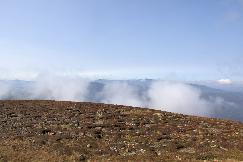 Photo: Ktr101, CC BY-SA 2.0 (via Flickr)
Mt Eisenhower Loop
~1 min drive
1.25-mile out-and-back trail in New Hampshire with 405 ft elevation gain.
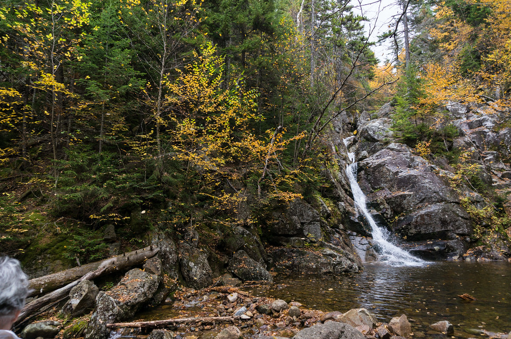 Photo: alans1948, CC BY 2.0 (via Flickr)
Crawford Cliff
~4 min drive
Crawford Cliff is a 0.66-mile out-and-back trail in New Hampshire with 276 feet of elevation gain.
 Photo: Ktr101, CC BY-SA 2.0 (via Flickr)
Webster-Jackson Trail
~5 min drive
Point-to-point alpine hike connecting two Presidential Range peaks with expansive views.
 Photo: Ktr101, CC BY-SA 2.0 (via Flickr)
Avalon
~5 min drive
4.89-mile out-and-back trail in New Hampshire with 2,419 ft elevation gain.
Photo: Ktr101, CC BY-SA 2.0 (via Flickr)Dry River
~1 min drive
1.51-mile point-to-point trail in New Hampshire with 805 ft elevation loss
Photo: Ktr101, CC BY-SA 2.0 (via Flickr)Crawford Connector
~4 min drive
Crawford Connector is a 0.62-mile out-and-back trail in New Hampshire with 166 feet of elevation gain.
 Photo: Cliff from Arlington, Virginia, USA, CC BY 2.0 (via Wikimedia Commons)
A-Z
~6 min drive
6.79-mile out-and-back trail in New Hampshire with 1,219 ft gain.
Photo: Ktr101, CC BY-SA 2.0 (via Flickr)Webster Cliff Trail
~5 min drive
2.71-mile out-and-back hike to Webster Cliff in New Hampshire with 964 ft gain.
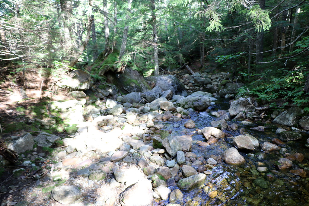 Photo: Ktr101, CC BY-SA 2.0 (via Flickr)
Mizpah Cut-Off
~2 min drive
1.40-mile out-and-back trail in New Hampshire with 410 ft gain.

