Cobra Arch
At a glance
Cobra Arch is a natural arch in Kane County, Utah, set at about 4,640 feet inside the Paria Canyon-Vermilion Cliffs Wilderness. The land is managed by the Bureau of Land Management through its Kanab Field Office, and the nearest town is Big Water, about 13 miles away. Spring and fall are the most comfortable times to visit. Typical averages from a nearby weather station run highs around 69°F with lows near 39°F in April, and highs around 72°F with lows near 41°F in October. Midsummer highs there reach the mid-90s. The Cobra Arch Trail lies about 2 miles off, and the Middle Trail and the Paria River Trail are close by. White House Campground, about 4 miles away, is the closest place to camp.
- elevation
- 4,640 ft
- managed by
- Bureau of Land Management
- best months
- Mar–May, Oct
Where it is: Paria Canyon-Vermilion Cliffs Wilderness · Kanab Field Office
Near: Page
Best time to visit Cobra Arch
Best months: March–May and October. Best months have typical highs of 55–85 °F, lows of 30 °F or warmer (32 °F where the station doesn't record snow), at most one snowy day and no more than 12 wet days.
Jan
46°
22°
Feb
52°
27°
Mar
61°
33°
Apr
69°
39°
May
79°
48°
Jun
91°
58°
Jul
96°
65°
Aug
94°
63°
Sep
86°
53°
Oct
72°
41°
Nov
57°
29°
Dec
46°
21°
Typical high / low (°F) and days with rain or snow, 1991–2020. Measured at Paria Rs, UT, 5.8 mi away at 4,426 ft. This station doesn't record snowfall. Source: NOAA NCEI U.S. Climate Normals 1991–2020.
Been here? Tell people how it was.
Route to Cobra Arch
- Middle TrailHiking2 mi
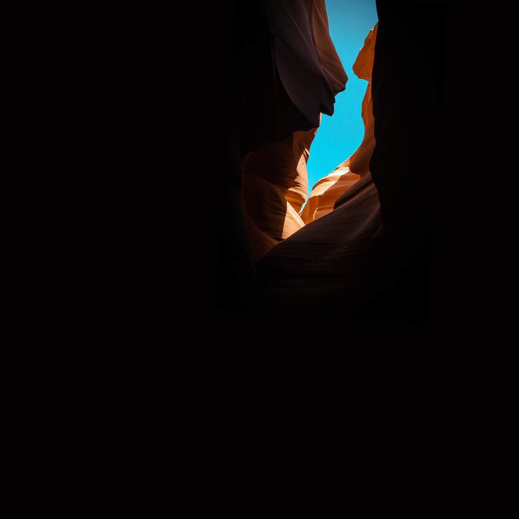 Paria River TrailHikingPhoto: KMK Photo, CC BY 2.0 (via Flickr)2.1 mi
- Cobra Arch TrailHiking2.1 mi
- White House CampgroundCamping4.1 mi
 Swoop WallRock climbingPhoto: DarTar, CC BY-SA 4.0 (via Wikimedia Commons)7.1 mi
- Carrot ButtressRock climbingPhoto: DarTar, CC BY-SA 4.0 (via Wikimedia Commons)7.1 mi
- Hammer WallRock climbingPhoto: DarTar, CC BY-SA 4.0 (via Wikimedia Commons)7.1 mi
- Stateline CampgroundCamping7.8 mi
 Wrather ArchNatural archPhoto: BLM Photo, Public domain (via Wikimedia Commons)~13 min drive
 Grosvenor ArchNatural archPhoto: Doug Dolde at English Wikipedia, Public domain (via Wikimedia Commons)~52 min drive
 Metate ArchNatural archPhoto: John Fowler from Placitas, NM, USA, CC BY 2.0 (via Wikimedia Commons)~1h 21m drive
 Bryce Natural BridgeNatural archPhoto: Phil Whitehouse from London, United Kingdom, CC BY 2.0 (via Wikimedia Commons)~1h 10m drive
- Picturesque WindowsNatural arch~5 min drive
- Hole in the RockNatural arch~11 min drive
- Joannes ArchNatural arch~11 min drive
- Blue Pools ArchNatural arch~25 min drive
- Skylight ArchNatural arch~28 min drive
- Vermillion ArchNatural arch~29 min drive
Also worth it near here
- Paria River TrailHikingPhoto: KMK Photo, CC BY 2.0 (via Flickr)~4 min drive
- White House CampgroundCamping~7 min drive
- Swoop WallRock climbingPhoto: DarTar, CC BY-SA 4.0 (via Wikimedia Commons)~12 min drive
 Coyote ButtesSummitPhoto: Bureau of Land Management, Public domain (via Wikimedia Commons)~13 min drive
Conditions and forecast
Daily highs and lows, wind and the chance of precipitation at Cobra Arch for the next 7 days, from the Open-Meteo model.
Ask about this place
Questions about Cobra Arch: conditions, access, timing. Answers say when something isn't known.
