Camp Summertime
Campground
2.8 mi from the trail
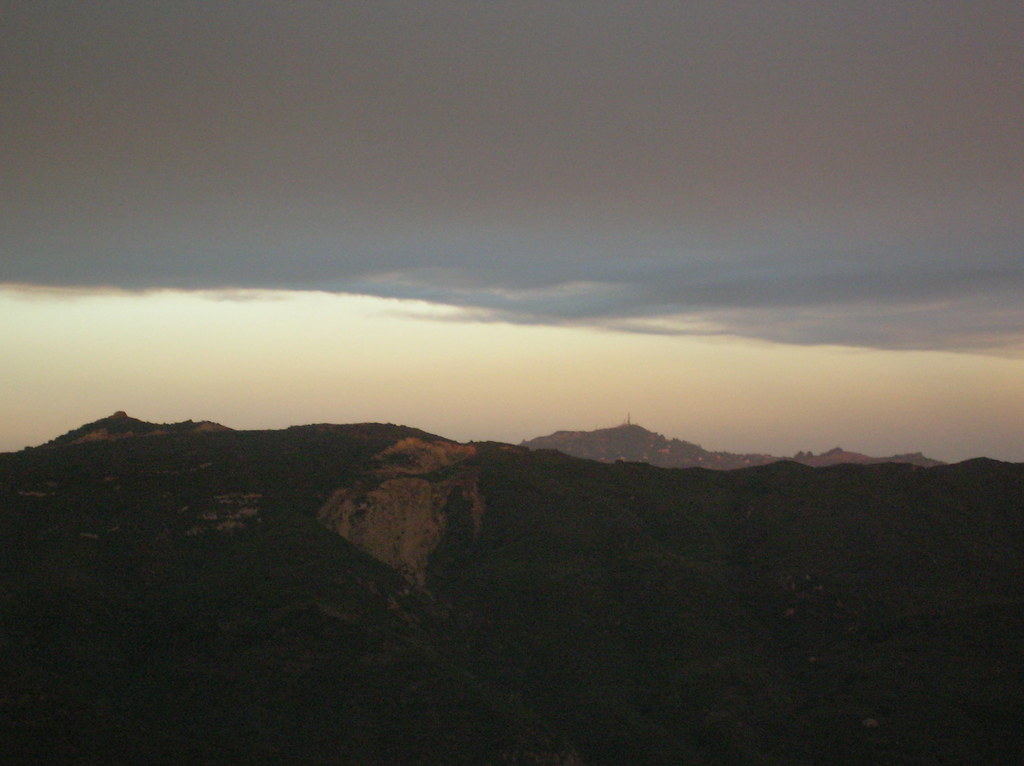 Photo: cho_kettie, CC BY 2.0 (via Flickr)
Castro Motorway is a 2.74-mile out-and-back trail in California with 538 feet of elevation gain. The trail follows a motorway route and is managed by the National Park Service.
Near: Los Angeles
Best months: October–May. Best months have typical highs of 55–85 °F, lows of 30 °F or warmer (32 °F where the station doesn't record snow), at most one snowy day and no more than 12 wet days.
Jan
70°
43°
6 wet
Feb
70°
44°
7 wet
Mar
74°
46°
6 wet
Apr
78°
48°
3 wet
May
82°
53°
1 wet
Jun
89°
57°
0 wet
Jul
95°
61°
0 wet
Aug
97°
61°
0 wet
Sep
94°
59°
1 wet
Oct
85°
53°
2 wet
Nov
76°
46°
3 wet
Dec
69°
42°
6 wet
Typical high / low (°F) and days with rain or snow, 1991–2020. Measured at Woodland Hills Pierce College, CA, 13.1 mi away at 790 ft. We don't have this place's elevation, so higher spots nearby can run cooler. Source: NOAA NCEI U.S. Climate Normals 1991–2020.
Been here? Tell people how it was.
Backbone Trail - Upper Solstice CanyonHikingPhoto: cho_kettie, CC BY 2.0 (via Flickr)~1 min drive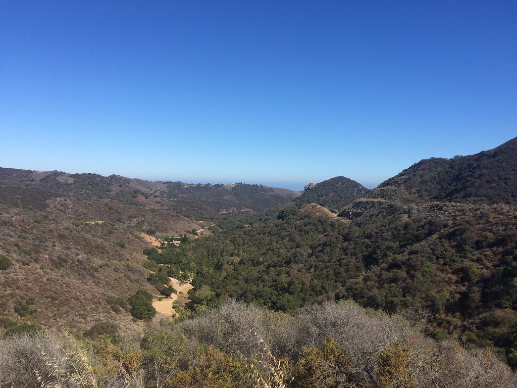 Backbone Trail - Newton CanyonHikingPhoto: sergei.gussev, CC BY 2.0 (via Flickr)~2 min driveMesa Peak TrailHikingPhoto: cho_kettie, CC BY 2.0 (via Flickr)~2 min drive
 Malibou Lake Connector TrailHikingPhoto: Santa Monica Mountains National Recreation Area, Public Domain Mark (via Flickr)~3 min drive
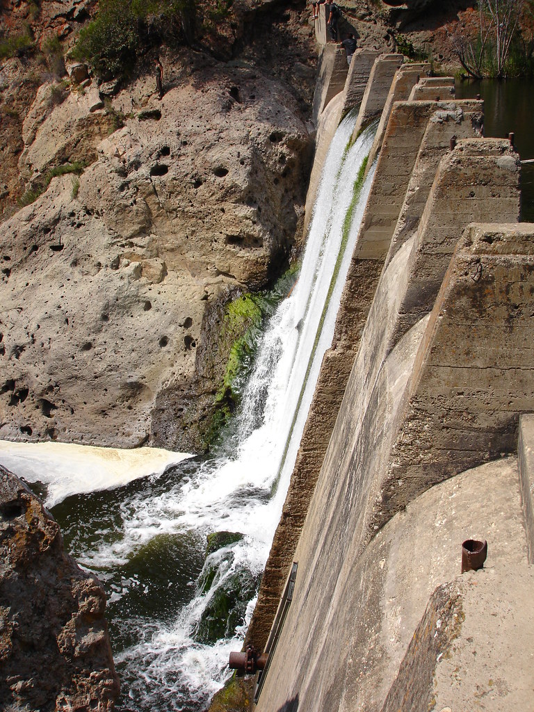 Lost Cabin TrailHikingPhoto: NoiseCollusion, CC BY 2.0 (via Flickr)~3 min drive
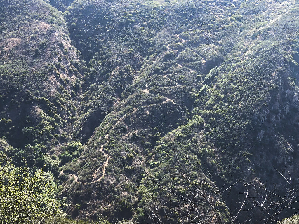 Deer Valley Loop TrailHikingPhoto: mjhbower, CC BY-SA 2.0 (via Flickr)~4 min drive
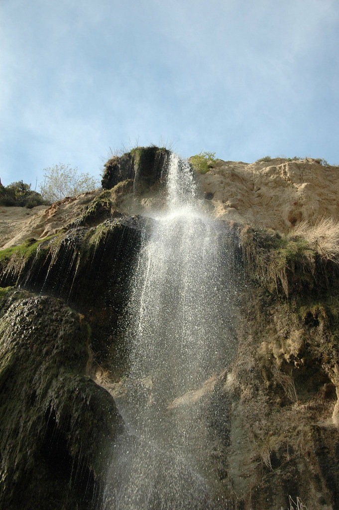 Ava and Cole Weintraub TrailHikingPhoto: rmahle, CC BY 2.0 (via Flickr)~3 min drive
 Sostomo TrailHikingPhoto: mjhbower, CC BY-SA 2.0 (via Flickr)~5 min drive
Also worth it near here
 Castro PeakSummitPhoto: USMARINE0311 from California, United States, CC BY-SA 2.0 (via Wikimedia Commons)~1 min drive
 Stumbling BlocksRock climbingPhoto: playboyr, CC BY 3.0 (via Wikimedia Commons)~4 min drive
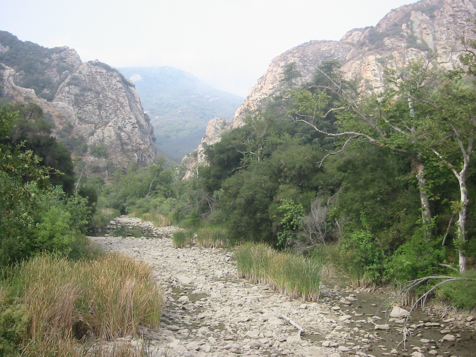 Malibu CreekCanoeingPhoto: Tobin/tobo, Rochester, NY, USA, CC BY-SA 2.0 (via Wikimedia Commons)~4 min drive
Daily highs and lows, wind and the chance of precipitation at Start for the next 7 days, from the Open-Meteo model.
Questions about Castro Motorway: conditions, access, timing. Answers say when something isn't known.
Camp Summertime
Campground
 If it rainsLos Angeles, CC BY-SA 4.0 · Wikimedia Commons
Leonis Adobe
Museum
Places © OpenStreetMap contributors, Places © Overture Maps Foundation · Photos: Los Angeles, CC BY-SA 4.0 (commons)
More in Moorpark