Capulin Mountain
At a glance
Capulin Mountain is a summit of 8,183 feet in Capulin Volcano National Monument in New Mexico, about 3 miles from the small community of Capulin. It sits within the monument's boundaries, and several short hikes start within a few tenths of a mile, making it a natural anchor for a day exploring the volcano's features. For comfortable weather, aim for late spring or early fall. Typical averages from a nearby weather station in Capulin show May highs around 74°F and September highs around 77°F, while July averages climb to 86°F and winter lows dip to about 14°F. That station sits roughly 1,300 feet below the summit, so temperatures on top run cooler. The Top of Capulin Volcano hike is just 0.1 mile away, and the Crater Vent at Capulin Volcano and Crater Rim Trail are both within a third of a mile. The Collapsed Lava Tube at Capulin Volcano is about 0.4 mile off.
- summit
- 8,183 ft
- way up
- 1
- best months
- May–Jun, Aug–Oct
Where it is: Capulin Volcano National Monument
Near: Raton
Best time to visit Capulin Mountain
Best months: May–June and August–October. Best months have typical highs of 55–85 °F, lows of 30 °F or warmer (32 °F where the station doesn't record snow), at most one snowy day and no more than 12 wet days.
Jan
46°
15°
5 wet
Feb
49°
18°
5 wet
Mar
57°
24°
6 wet
Apr
64°
31°
6 wet
May
74°
40°
8 wet
Jun
83°
49°
10 wet
Jul
86°
54°
13 wet
Aug
83°
53°
11 wet
Sep
77°
46°
7 wet
Oct
67°
33°
5 wet
Nov
54°
22°
4 wet
Dec
46°
14°
5 wet
Typical high / low (°F) and days with rain or snow, 1991–2020. Measured at Capulin, NM, 3.4 mi away at 6,840 ft. The station sits about 1,300 ft lower than this place, so expect it a little cooler here. This station doesn't record snowfall. Source: NOAA NCEI U.S. Climate Normals 1991–2020.
Been here? Tell people how it was.
Map © Mapbox © OpenStreetMap contributors  Fishers Peak9,637 ft · Colorado1 route35 mi awayPhoto: Michelle Goodall from Trinidad, USA, CC BY-SA 2.0 (via Wikimedia Commons)
- Stony Point7,980 ft · New Mexico1 route60 mi away
- Shaefers Peak9,417 ft · New Mexico1 route64 mi away
- Cimarroncito Peak10,466 ft · New Mexico1 route66 mi away
- Black Mountain10,897 ft · New Mexico2 routes66 mi away
- Trail Peak10,255 ft · New Mexico2 routes66 mi away
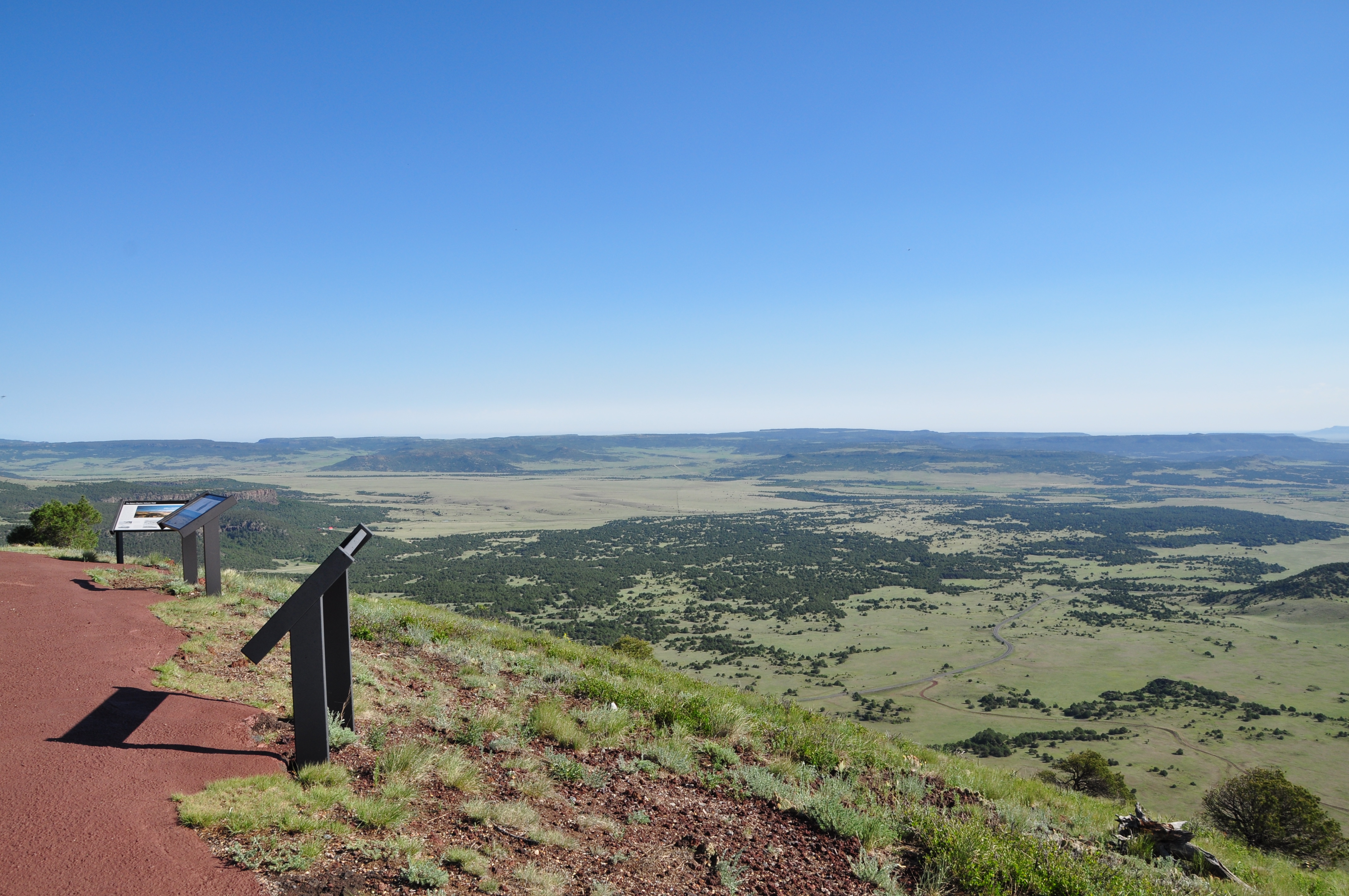 Top of Capulin VolcanoHikingPhoto: NPS Photo0.1 mi
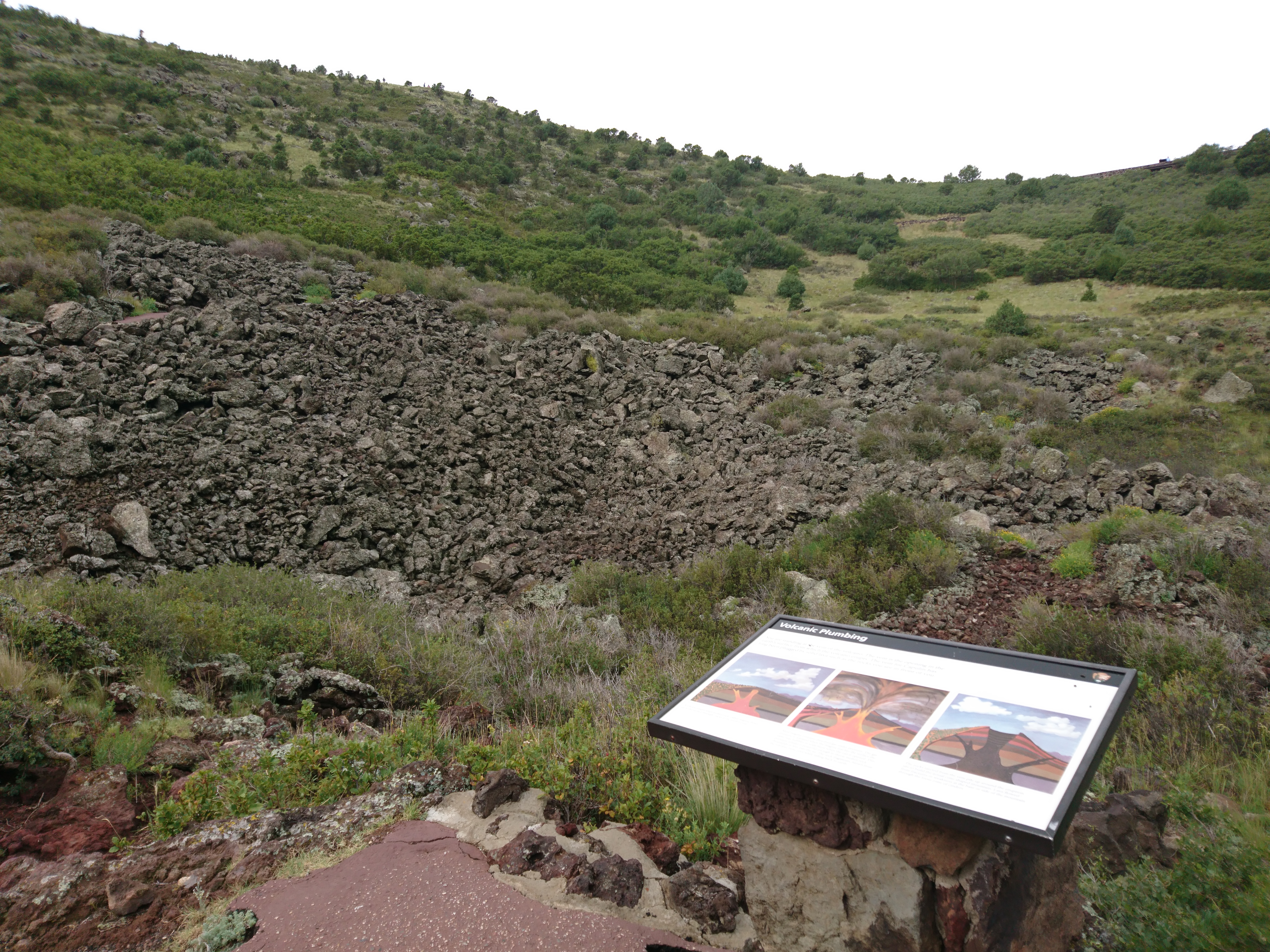 Crater Vent at Capulin VolcanoHikingPhoto: NPS Photo0.2 mi
 Crater Rim TrailHikingPhoto: skua47, CC BY 2.0 (via Flickr)0.3 mi
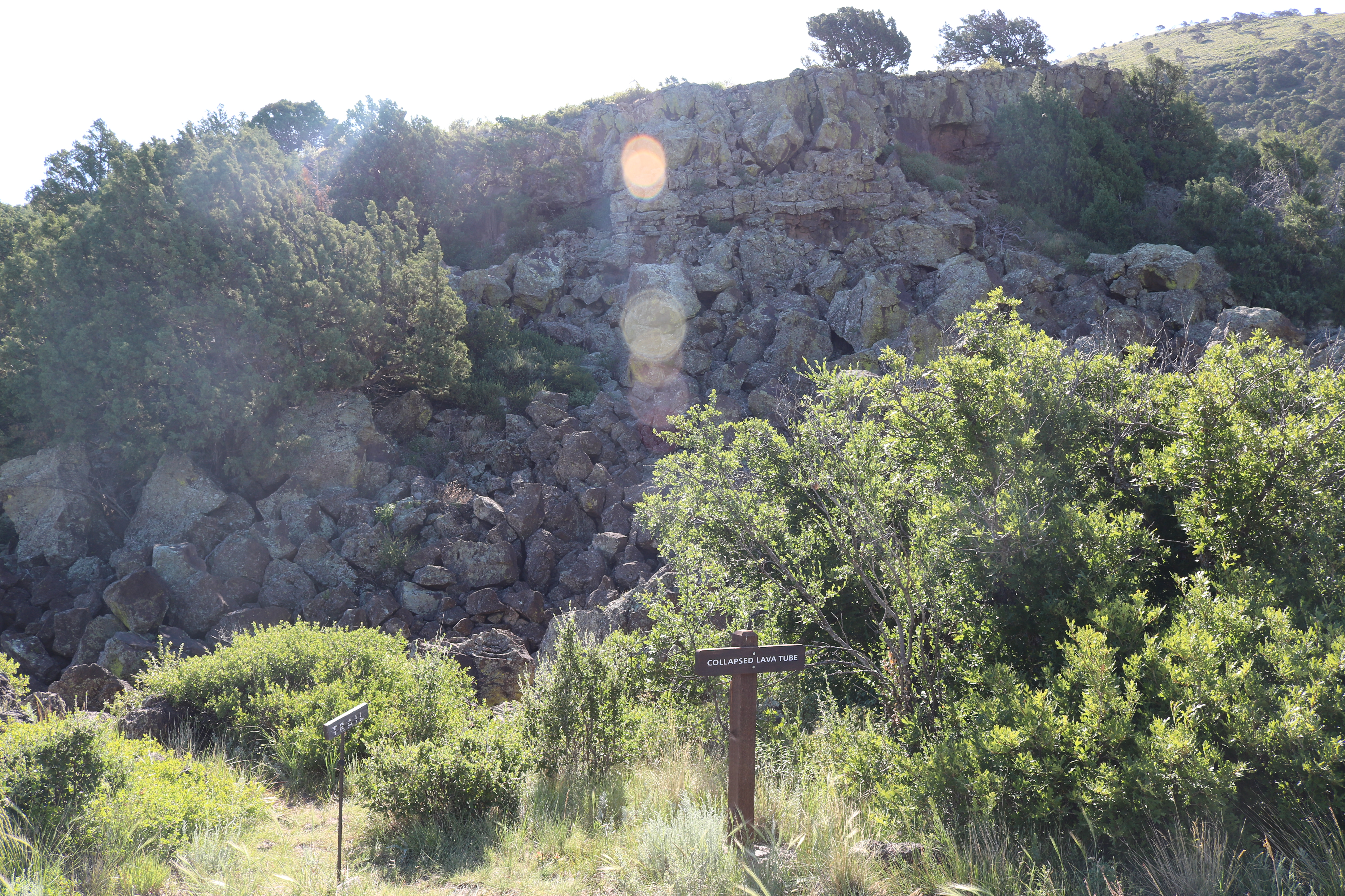 Collapsed Lava Tube at Capulin VolcanoHikingPhoto: NPS Photo0.4 mi
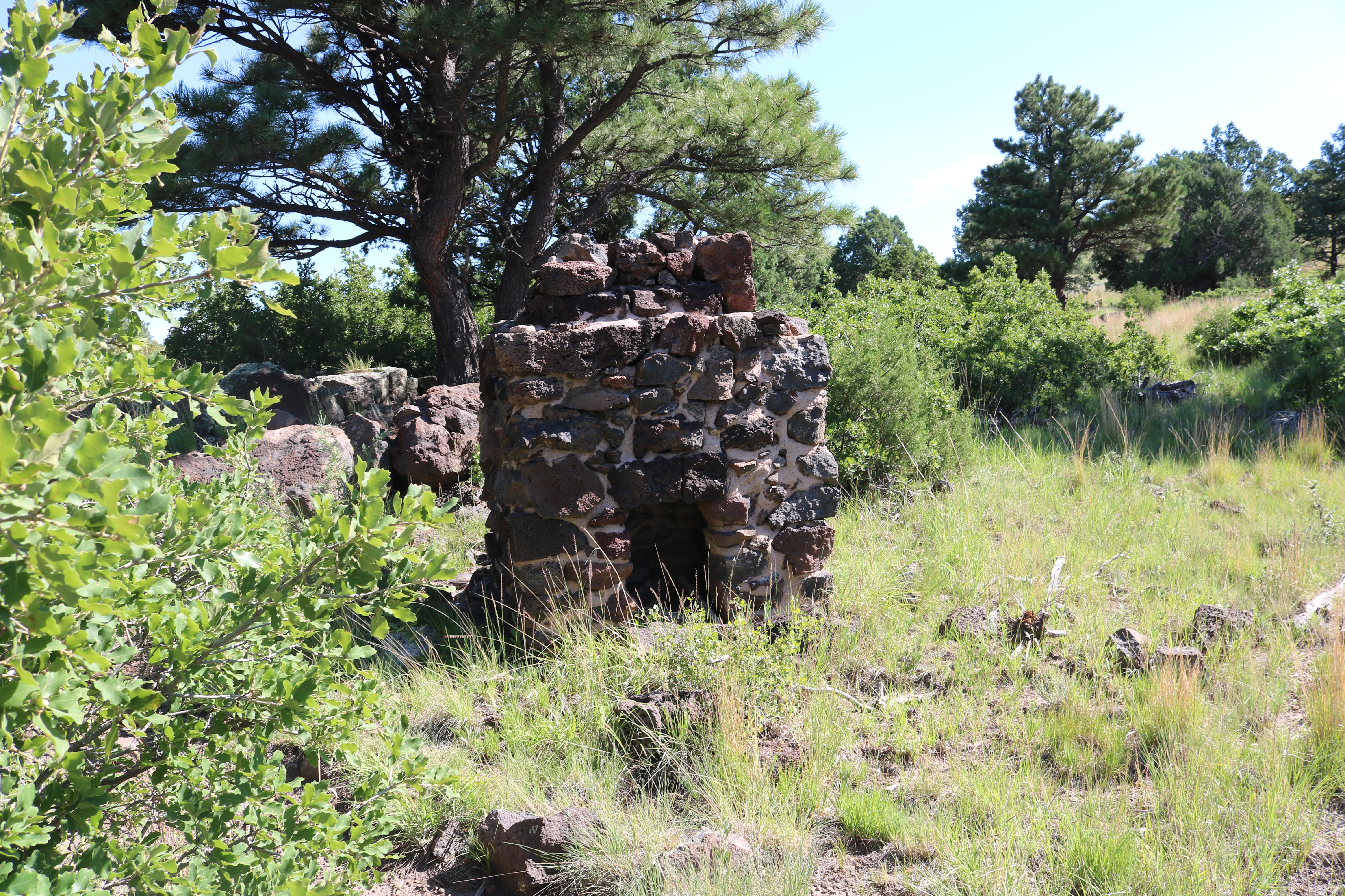 Historic Chimney at Capulin VolcanoHikingPhoto: NPS Photo0.7 mi
 Tinaja MountainSummitPhoto: Jeffrey Beall, CC BY 4.0 (via Wikimedia Commons)~40 min drive
 Mount ClaytonSummitPhoto: Jeffrey Beall, CC BY 4.0 (via Wikimedia Commons)~44 min drive
 Fishers Peak MesaSummitPhoto: Jeffrey Beall, CC BY 4.0 (via Wikimedia Commons)~57 min drive
- Fishers PeakSummitPhoto: Michelle Goodall from Trinidad, USA, CC BY-SA 2.0 (via Wikimedia Commons)~60 min drive
 Black MesaSummitPhoto: Gilderien, CC BY-SA 3.0 (via Wikimedia Commons)~1h 9m drive
 Simpsons RestSummitPhoto: Joe Mabel, CC BY-SA 4.0 (via Wikimedia Commons)~1h 10m drive
Conditions and forecast
Daily highs and lows, wind and the chance of precipitation at the summit and route start for the next 7 days, from the Open-Meteo model.
Questions about Capulin Mountain
How tall is Capulin Mountain?
8,183 ft (2,494 m).
How many routes go to the summit of Capulin Mountain?
One: Crater Rim Trail.
Ask about this place
Questions about Capulin Mountain: conditions, access, timing. Answers say when something isn't known.
