

Harpers Ferry Campground
Campground
1.2 mi from the trail
Camp Hill is a summit of 540 feet in West Virginia, sitting right at the edge of Harpers Ferry, about 0.1 mile from town. It lies within Harpers Ferry National Historical Park and along the Appalachian National Scenic Trail, so it makes an easy addition to a visit to the town's historic and trail corridors. For comfortable weather, aim for late spring or early fall. Typical averages from a nearby weather station show May highs around 74°F and September highs around 78°F, with July the warmest month at about 86°F. Several short walks start close by. The Appalachian Trail Spur to AT Visitor Center and the Harpers Ferry Center Sidewalks and Paths are each about 0.1 mile away, and the Virginius Island Trail is about 0.4 mile off. Climbers can head to Moonshine Boulder, also about 0.4 mile away.
Where it is: Appalachian National Scenic Trail · Harpers Ferry National Historical Park
Near: Bolivar
Best months: April–June and August–November. Best months have typical highs of 55–85 °F, lows of 30 °F or warmer (32 °F where the station doesn't record snow), at most one snowy day and no more than 12 wet days.
Jan
41°
21°
Feb
44°
23°
Mar
53°
29°
Apr
65°
39°
May
74°
49°
Jun
82°
58°
Jul
86°
62°
Aug
85°
61°
Sep
78°
54°
Oct
67°
42°
Nov
56°
32°
Dec
45°
25°
Typical high / low (°F) and days with rain or snow, 1991–2020. Measured at Sharpsburg 5 S, MD, 5.2 mi away at 400 ft. This station doesn't record snowfall. Source: NOAA NCEI U.S. Climate Normals 1991–2020.
Been here? Tell people how it was.
| Harpers Ferry Center Sidewalks and Paths | Appalachian Trail Spur to AT Visitor Center | |
|---|---|---|
| Climbing | About 76 ft | About 125 ft |
| Round trip | 0.4 mi | 0.4 mi |
| Difficulty | Easy | Easy |
| Terrain | Hike | Hike |
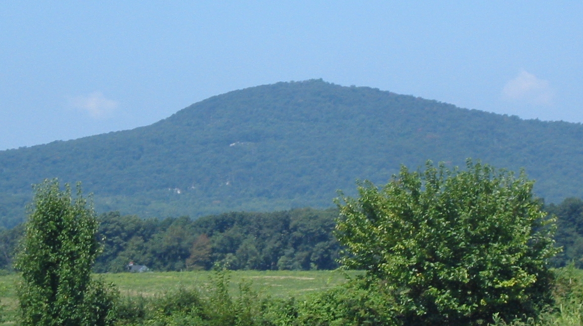
 Short Hill MountainSummitPhoto: Arbogastlw, CC BY-SA 3.0 (via Wikimedia Commons)~7 min drive
 Lambs KnollSummitPhoto: Joe Calzarette, Public domain (via Wikimedia Commons)~18 min drive
 Furnace MountainSummitPhoto: Arbogastlw at English Wikipedia, Public domain (via Wikimedia Commons)~19 min drive
 Raven RocksSummitPhoto: Mark Fickett, CC BY 3.0 (via Wikimedia Commons)~23 min drive
 Monument KnobSummitPhoto: Zeete, CC BY-SA 4.0 (via Wikimedia Commons)~23 min drive
 Black RockSummitPhoto: Zeete, CC BY-SA 4.0 (via Wikimedia Commons)~32 min driveSugar Loaf MountainSummitPhoto: Lowell Silverman at English Wikipedia, Public domain (via Wikimedia Commons)~33 min drive
 Sleepy Creek MountainSummitPhoto: Arbogastlw, CC BY-SA 3.0 (via Wikimedia Commons)~45 min drive
 Chimney RockSummitPhoto: Unknown authorUnknown author or not provided, Public domain (via Wikimedia Commons)~46 min drive
 Catoctin MountainSummitPhoto: Vegemighty (talk), CC0 (via Wikimedia Commons)~46 min drive
Also worth it near here
Daily highs and lows, wind and the chance of precipitation at the summit and route start for the next 7 days, from the Open-Meteo model.
540 ft (165 m).
2: Harpers Ferry Center Sidewalks and Paths and Appalachian Trail Spur to AT Visitor Center.
Harpers Ferry Center Sidewalks and Paths, about 0.4 mi round trip.
Questions about Camp Hill: conditions, access, timing. Answers say when something isn't known.
Harpers Ferry Campground
Campground
 If it rainsFamartin, CC BY-SA 4.0 · Wikimedia Commons
Places © OpenStreetMap contributors, Places © Overture Maps Foundation · Photos: Famartin, CC BY-SA 4.0 (commons)
More in Ballenger Creek