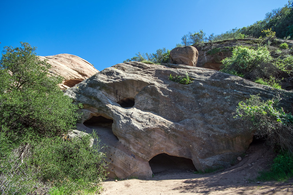

Malibu Creek Campground
Campground
3.7 mi from the trail
Calabasas Peak is a summit of 2,160 feet in the Santa Monica Mountains National Recreation Area, about 1.7 miles from the town of Calabasas, California. It sits within the recreation area's network of trails and climbing areas, which makes it an easy addition to a day spent exploring the surrounding peaks and crags. Spring and fall are the most comfortable times to visit. Typical averages from a nearby weather station show April highs around 78°F and October highs around 85°F, while July and August average in the mid-90s. That station sits well below the peak, so temperatures on top run cooler. The peak sits right next to the Crags Rd. Crag's climbing area, about 0.1 mile away, and the Calabasas Slabs climbing area is about 0.4 mile off. Hikers can reach the Deer Grass Trail within a mile and the Cold Creek Trail just beyond it.
Where it is: Santa Monica Mountains National Recreation Area
Near: Los Angeles
Best months: October–May. Best months have typical highs of 55–85 °F, lows of 30 °F or warmer (32 °F where the station doesn't record snow), at most one snowy day and no more than 12 wet days.
Jan
70°
43°
6 wet
Feb
70°
44°
7 wet
Mar
74°
46°
6 wet
Apr
78°
48°
3 wet
May
82°
53°
1 wet
Jun
89°
57°
0 wet
Jul
95°
61°
0 wet
Aug
97°
61°
0 wet
Sep
94°
59°
1 wet
Oct
85°
53°
2 wet
Nov
76°
46°
3 wet
Dec
69°
42°
6 wet
Typical high / low (°F) and days with rain or snow, 1991–2020. Measured at Woodland Hills Pierce College, CA, 6.6 mi away at 790 ft. The station sits about 1,400 ft lower than this place, so expect it a little cooler here. Source: NOAA NCEI U.S. Climate Normals 1991–2020.
Been here? Tell people how it was.
We don't know of a mapped trail or route to the summit of Calabasas Peak. Plan the approach with local maps, a guidebook or a local guide, and check conditions before you go.


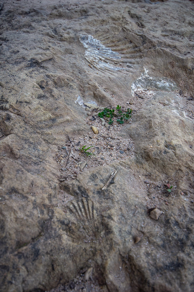 Deer Grass TrailHikingPhoto: RuggyBearLA, CC BY-SA 2.0 (via Flickr)0.9 miCold Creek TrailHikingPhoto: RuggyBearLA, CC BY-SA 2.0 (via Flickr)1.1 mi
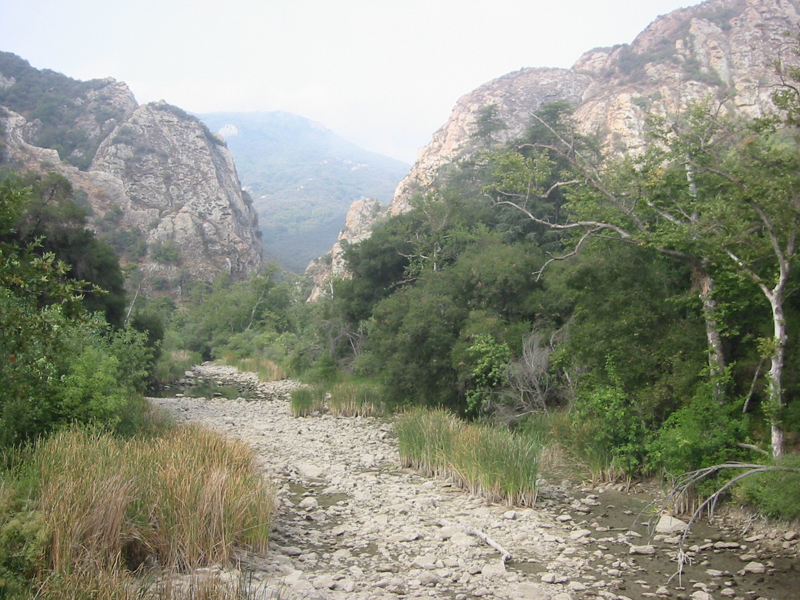 Malibu CreekCanoeingPhoto: Tobin/tobo, Rochester, NY, USA, CC BY-SA 2.0 (via Wikimedia Commons)4.6 miSan Vicente MountainSummitPhoto: Clyde Charles Brown, CC BY-SA 4.0 (via Wikimedia Commons)~14 min drive
 Mission PointSummitPhoto: User:Jordan Brown, Public domain (via Wikimedia Commons)~26 min driveSandstone PeakSummitPhoto: Wasquewhat, CC BY-SA 4.0 (via Wikimedia Commons)~27 min drive
 Boney PeakSummitPhoto: Justin Johnsen (Justin.Johnsen), CC BY-SA 3.0 (via Wikimedia Commons)~28 min drive
 Cahuenga PeakSummitPhoto: Junkyardsparkle, CC0 (via Wikimedia Commons)~32 min drive
 Mount LeeSummitPhoto: Downtowngal, CC BY-SA 3.0 (via Wikimedia Commons)~33 min drive
 South MountainSummitPhoto: Antandrus at English Wikipedia, CC BY-SA 3.0 (via Wikimedia Commons)~45 min drive
 Mount LukensSummitPhoto: Doc Searls from Santa Barbara, USA, CC BY 2.0 (via Wikimedia Commons)~45 min drive
 Mount LoweSummitPhoto: The original uploader was Magi Media at English Wikipedia., CC BY-SA 3.0 (via Wikimedia Commons)~55 min drive
 Strawberry PeakSummitPhoto: Justin, CC BY-SA 2.0 (via Wikimedia Commons)~56 min drive
Daily highs and lows, wind and the chance of precipitation at the summit for the next 7 days, from the Open-Meteo model.
2,160 ft (658 m).
We don't know of a mapped trail or route to the summit. Plan the approach with local maps, a guidebook or a local guide.
Questions about Calabasas Peak: conditions, access, timing. Answers say when something isn't known.
Malibu Creek Campground
Campground
 If it rainsLos Angeles, CC BY-SA 4.0 · Wikimedia Commons
Leonis Adobe
Museum
Places © OpenStreetMap contributors, Places © Overture Maps Foundation · Photos: Los Angeles, CC BY-SA 4.0 (commons)
More in Moorpark