A.T. Bald Mountain Shelter
Campground
1.0 mi from the trail
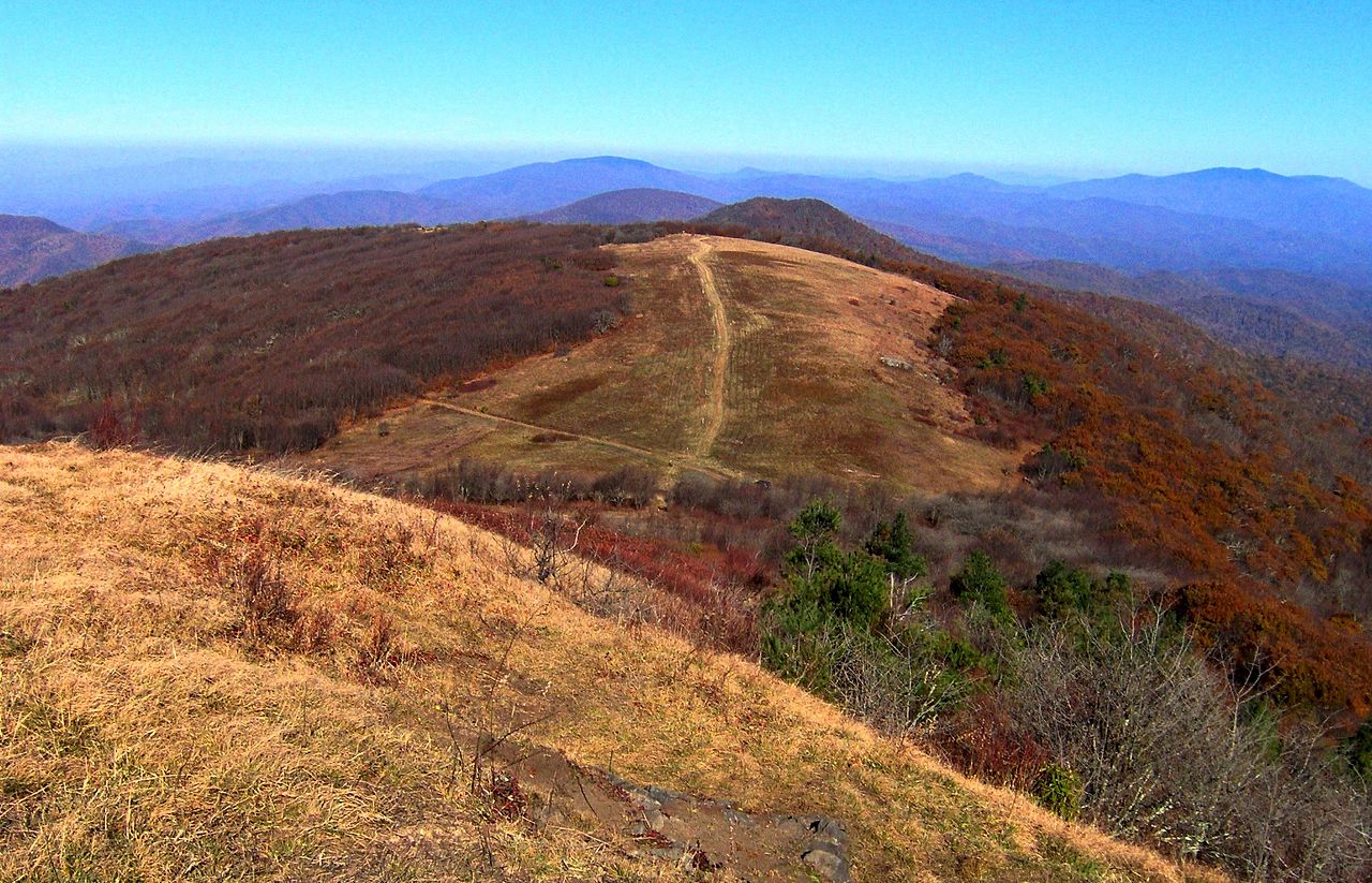 Photo: Brian Stansberry, CC BY 3.0 (via Wikimedia Commons)
Big Bald is a summit of 5,515 feet in North Carolina, straddling the Appalachian and Unaka Ranger Districts of the National Forests in North Carolina. The Appalachian National Scenic Trail also passes through the area. The nearest town is Banner Hill, Tennessee, about 10 miles away. The most comfortable months for a visit are June through September, when typical averages from the Mt Mitchell weather station nearby run from highs around 64°F in June to 61°F in September. That station sits about 725 feet higher than the summit, so temperatures on Big Bald itself may run a little warmer. The Big Bald Bypass Trail lies just 0.4 miles away, and the Wolf Laurel Nature Trail is about 1.6 miles off. Paddlers can head to Bald Mountain Creek, roughly 2.9 miles away, or to Spivey Creek, about 3.8 miles away.
Where it is: Appalachian Ranger District · Unaka Ranger District
Near: Johnson City
Best months: September. Best months have typical highs of 55–85 °F, lows of 30 °F or warmer (32 °F where the station doesn't record snow), at most one snowy day and no more than 12 wet days.
Jan
34°
17°
14 wet
Feb
36°
18°
13 wet
Mar
41°
24°
14 wet
Apr
50°
32°
13 wet
May
58°
41°
14 wet
Jun
64°
49°
16 wet
Jul
67°
52°
18 wet
Aug
66°
51°
16 wet
Sep
61°
46°
12 wet
Oct
54°
37°
11 wet
Nov
45°
28°
10 wet
Dec
38°
21°
13 wet
Typical high / low (°F) and days with rain or snow, 1991–2020. Measured at Mt Mitchell, NC, 20.1 mi away at 6,240 ft. The station sits about 700 ft higher than this place, so expect it a little warmer here. This station doesn't record snowfall. Source: NOAA NCEI U.S. Climate Normals 1991–2020.
Been here? Tell people how it was.
 Wolf Laurel Nature TrailHikingPhoto: Will Thomas, CC BY-SA 3.0 (via Wikimedia Commons)1.6 mi
 Celo KnobSummitPhoto: Thomson200, CC0 (via Wikimedia Commons)~28 min drive
 Balsam ConeSummitPhoto: Thomson200, CC0 (via Wikimedia Commons)~33 min drive
 Big TomSummitPhoto: Brian Stansberry (photographer), CC BY 3.0 (via Wikimedia Commons)~33 min drive
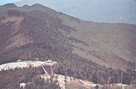 Mount MitchellSummitPhoto: Public domain (via Wikimedia Commons)~34 min drive
 Craggy PinnacleSummitPhoto: Thomson200, CC0 (via Wikimedia Commons)~36 min drive
 Woodys KnobSummitPhoto: Jdshepard at en.wikipedia, Public domain (via Wikimedia Commons)~39 min drive
 Grassy Ridge BaldSummitPhoto: Thomson200, CC0 (via Wikimedia Commons)~41 min drive
Also worth it near here
Daily highs and lows, wind and the chance of precipitation at the summit and route start for the next 7 days, from the Open-Meteo model.
5,515 ft (1,681 m).
One: Big Bald Bypass Trail.
Questions about Big Bald: conditions, access, timing. Answers say when something isn't known.
A.T. Bald Mountain Shelter
Campground
Smoke & Timber
Restaurant
MW Studios
Gallery
Places © OpenStreetMap contributors
More in Spruce Pine