Big Firescald Knob
- 4,549 ft
- summit
- 1
- way up
Is Big Firescald Knob open right now?
Closure in the area
There's a closure order in Cherokee National Forest. It doesn't name Big Firescald Knob, so check the source for the area it covers (3 listed).
Ocoee River Flooding Damage - Nov 5
Agency closure covering Cherokee National Forest · USFS · Cherokee National Forest
Campsite limitations
Agency closure covering Cherokee National Forest · Order 08-04-00-22-180 · USFS · Cherokee National Forest
List of trail closures post-Hurricane Helene
Park closure covering Appalachian National Scenic Trail · NPS · Appalachian National Scenic Trail
Black Bears Frequenting the McAfee Knob Area in Virginia
Park alert covering Appalachian National Scenic Trail · NPS · Appalachian National Scenic Trail
Emergency road closures due to storm damage
Agency alert covering Cherokee National Forest · USFS · Cherokee National Forest
As of · Source: USFS · Cherokee National Forest. Agencies don't list every closure — check before you go.
Big Firescald Knob is a summit of 4,549 feet in the Appalachian National Scenic Trail corridor, where the Appalachian Ranger District of Cherokee National Forest meets the Unaka Ranger District. The nearest town is Tusculum, Tennessee, about 10 miles away. The Big Firescald Bypass Trail starts about half a mile away, and Artie Hollow Trail and Phillips Hollow Trail are each roughly 0.9 miles off. For an overnight stay, Old Forge Campground sits about 3.6 miles away.
Conditions and forecast
Daily highs and lows, wind and the chance of precipitation at the summit and route start for the next 7 days, from the Open-Meteo model.
- Summit elevation
- 4,549 ft
Elevation from USGS 3D Elevation Program terrain data (about 10 m resolution).
Map © Mapbox © OpenStreetMap contributors Questions about Big Firescald Knob
How tall is Big Firescald Knob?
4,549 ft (1,387 m).
How many routes go to the summit of Big Firescald Knob?
One: Big Firescald Bypass Trail.
- Camp Creek Bald4,840 ft · North Carolina1 route1.8 mi away
- Angelico Knob3,424 ft · North Carolina1 route4.0 mi away
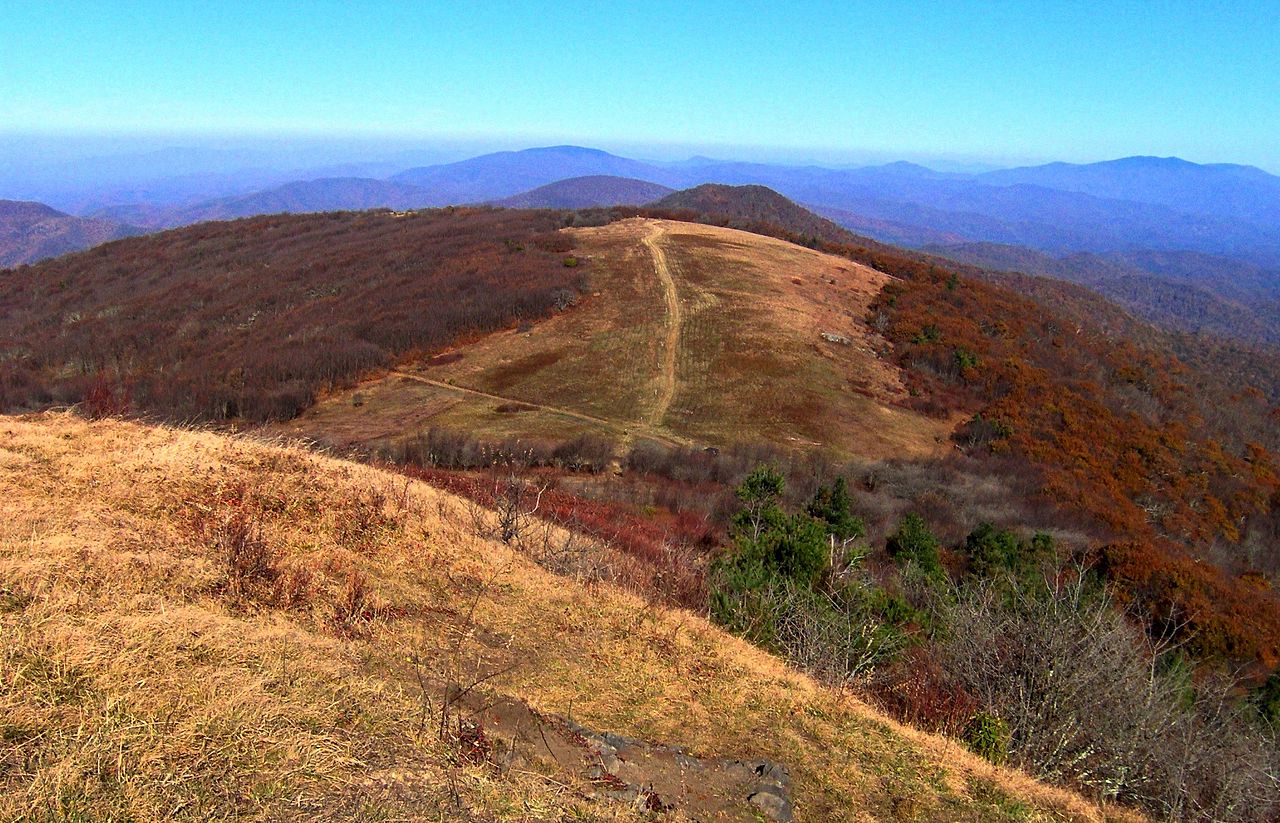 Big Bald5,515 ft · North Carolina1 route12 mi awayPhoto: Brian Stansberry, CC BY 3.0 (via Wikimedia Commons)
- Chuckey Mountain3,098 ft · Tennessee1 route12 mi away
- Paint Mountain2,638 ft · Tennessee2 routes13 mi away
- Chimney Rocks1,742 ft · Tennessee1 route14 mi away
- Big Firescald Bypass TrailHiking0.6 mi
- Artie Hollow TrailHiking0.9 mi
- Phillips Hollow TrailHiking0.9 mi
- Shelton Laurel CreekCanoeing3.5 mi
- Old Forge CampgroundCamping3.6 mi
- Dillard PlaceLake fishing4.3 mi
- Horse Creek Recreation AreaCamping5.1 mi
- Camp CreekCanoeing5.5 mi
Source: Roamze catalog (indexable pages within 10 miles, PostGIS distance)
- Big BaldSummit · ~20 min drivePhoto: Brian Stansberry, CC BY 3.0 (via Wikimedia Commons)
 Craggy PinnacleSummit · ~50 min drivePhoto: Thomson200, CC0 (via Wikimedia Commons)
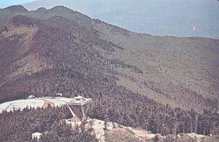 Mount MitchellSummit · ~52 min drivePhoto: Public domain (via Wikimedia Commons)
 Celo KnobSummit · ~48 min drivePhoto: Thomson200, CC0 (via Wikimedia Commons)
 Balsam ConeSummit · ~51 min drivePhoto: Thomson200, CC0 (via Wikimedia Commons)
 Big TomSummit · ~51 min drivePhoto: Brian Stansberry (photographer), CC BY 3.0 (via Wikimedia Commons)
- Camp Creek BaldSummit · ~3 min drive
- Angelico KnobSummit · ~7 min drive
- Chuckey MountainSummit · ~21 min drive
- Paint MountainSummit · ~23 min drive
