Beaver Creek Campground
At a glance
Beaver Creek Campground is a campground in Michigan.
- fee
- Yes
Where it is: Beaver Basin Wilderness · Pictured Rocks National Lakeshore
Near: Munising · 16.3 mi
When to go
Best time to go: Jun–Sep. The mildest months here, with typical highs of 67–75°F and lows of 48–55°F.
Typical monthly averages (not a forecast) from the Munsing Lakeshore, MI weather station, 18 mi away. High / low in °F.
- Jan26° high13° low
- Feb28° high12° low
- Mar36° high20° low
- Apr46° high29° low
- May59° high39° low
- Jun68° high48° low
- Jul75° high55° low
- Aug74° high55° low
- Sep67° high49° low
- Oct55° high39° low
- Nov42° high29° low
- Dec32° high19° low
Been here? Tell people how it was.
 Pictured Rocks National Lakeshore Backcountry Camping PermitCampingPhoto: Recreation.gov (RIDB) / public domain2.4 mi
- Twelve-Mile BeachBeach3 mi
- Spray FallsWaterfall3.2 mi
- Fox River PathwayHiking5.6 mi
- Chapel FallsWaterfall5.6 mi
- Kingston Lake Sfcg Boat LaunchBoat launch6 mi
- North Gemini Lake Sfcg Boat LaunchBoat launch6.4 mi
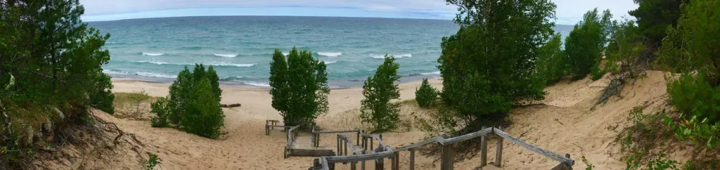 Twelvemile Beach Campground and CabinCampingPhoto: Recreation.gov (RIDB) / public domain7.6 mi
- Pictured Rocks National Lakeshore Backcountry Camping PermitCamping~4 min drive
- Twelvemile Beach Campground and CabinCamping~13 min drive
- Pine Bluff CampgroundCamping~2 min drive
- Coves CampsiteCamping~2 min drive
- Lowney Creek CampgroundCamping~2 min drive
- Lowney Creek Group CampgroundCamping~2 min drive
- Trappers Lake Group CampsiteCamping~3 min drive
- Coves Group CampsiteCamping~4 min drive
- Sevenmile CampgroundCamping~9 min drive
- Sevenmile Group CampsiteCamping~9 min drive
Conditions and forecast
Daily highs and lows, wind and the chance of precipitation at Beaver Creek Campground for the next 7 days, from the Open-Meteo model.

Ask about this place
Questions about Beaver Creek Campground: conditions, access, timing. Answers say when something isn't known.
- Beaver Basin WildernessPictured Rocks National Lakeshore
Map and trail data © OpenStreetMap contributors
