

Camp Avalon
Campground
0.8 mi from the trail
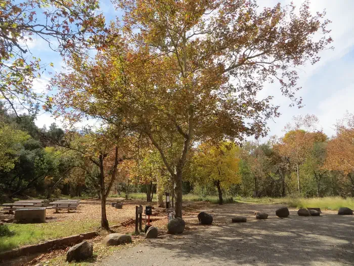
 Photo: InSapphoWeTrust from Los Angeles, California, USA, CC BY-SA 2.0 (via Wikimedia Commons)
Apache Fire Trail Loop is a short, easy out-and-back hike in Red Rock State Park, Arizona, set within the Red Rock Ranger District of Coconino National Forest. The trail is managed by State Park and Recreation and covers about 1.4 miles round trip, with a total elevation gain of 317 feet. The route starts and ends at about 3,897 feet, and the high point reaches 3,968 feet. Spring and fall are the most comfortable times to go. Typical averages from a nearby weather station in Sedona show October highs around 79°F with lows near 51°F, while July highs average about 97°F. The trail is close to other outdoor options. Eagle's Nest Trail is about 0.2 miles away, and the Kisva and Bunkhouse mountain biking trails are each about 0.1 miles off. Cathedral Rock Area, a climbing area, is about 1.8 miles away.
Where it is: Red Rock Ranger District · Red Rock State Park
Near: Sedona
Mid-October to early May is usually best for hiking here.
Typical highs of 57–79°F and lows of 32°F or warmer in those weeks.
Typical weather: NOAA 1991–2020 normals at Sedona, AZ, 7 mi away. Not a forecast.
Typical weather by monthBest months: October–April. Best months are the ones mostly made of the best weeks for hiking: typical temperatures in its comfortable range, few snowy days and not usually wet, judged with the same limits as our good-day forecasts.
Jan
58°
34°
5 wet
Feb
61°
36°
6 wet
Mar
67°
40°
6 wet
Apr
75°
44°
3 wet
May
84°
53°
3 wet
Jun
94°
61°
2 wet
Jul
97°
68°
6 wet
Aug
94°
67°
9 wet
Sep
89°
61°
5 wet
Oct
79°
51°
3 wet
Nov
67°
41°
4 wet
Dec
58°
33°
4 wet
Typical high / low (°F) and days with rain or snow, 1991–2020. Measured at Sedona, AZ, 7 mi away at 4,220 ft. This station doesn't record snowfall. Source: NOAA NCEI U.S. Climate Normals 1991–2020.
Been here? Tell people how it was.
 Kisva TrailMountain bikingPhoto: Cedward Brice from Scottsdale, USA, CC BY 2.0 (via Wikimedia Commons)0.1 mi
 Bunkhouse TrailMountain bikingPhoto: InSapphoWeTrust from Los Angeles, California, USA, CC BY-SA 2.0 (via Wikimedia Commons)0.1 mi
 Eagle's Nest TrailHikingPhoto: Leslie Seaton from Seattle, WA, USA, CC BY 2.0 (via Wikimedia Commons)0.2 mi
 Cathedral Rock AreaRock climbingPhoto: dconvertini, CC BY-SA 2.0 (via Wikimedia Commons)1.8 mi
 Village of Oak CreekRock climbingPhoto: Coconino National Forest, CC BY-SA 2.0 (via Wikimedia Commons)1.9 mi
 Chavez CrossingCampingPhoto: Recreation.gov (RIDB) / public domain3.8 mi
 Kisva TrailHikingPhoto: btwashburn, CC BY 2.0 (via Flickr)Next door
 Three Sisters TrailHikingPhoto: Coconino NF Photography, Public Domain Dedication (CC0) (via Flickr)~1 min driveTurkey Creek Trail #92HikingPhoto: InSapphoWeTrust from Los Angeles, California, USA, CC BY-SA 2.0 (via Wikimedia Commons)Next door
 Turkey Creek AlternateHikingPhoto: Coconino NF Photography, Public Domain Dedication (CC0) (via Flickr)~1 min drive
 Lime Kiln #82HikingPhoto: RuggyBearLA, CC BY-SA 2.0 (via Flickr)~3 min drive
 Catwalk Social TrailHikingPhoto: daveynin, CC BY 2.0 (via Flickr)~3 min drive
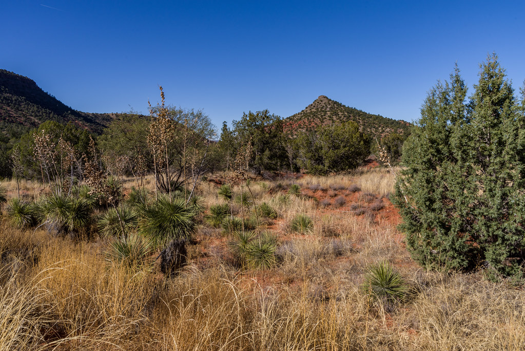 Turkey Wing TrailHikingPhoto: Coconino NF Photography, Public Domain Dedication (CC0) (via Flickr)~1 min drive
 Scorpion #673HikingPhoto: Sharon Mollerus, CC BY 2.0 (via Flickr)~4 min drive
 Elmerville Spur AHikingPhoto: joiseyshowaa, CC BY-SA 2.0 (via Flickr)~4 min driveTurkey Creek CutHikingPhoto: InSapphoWeTrust from Los Angeles, California, USA, CC BY-SA 2.0 (via Wikimedia Commons)~1 min drive
Daily highs and lows, wind and the chance of precipitation at Start for the next 7 days, from the Open-Meteo model.
Questions about Apache Fire Trail Loop: conditions, access, timing. Answers say when something isn't known.
Camp Avalon
Campground
Bella Vita
Restaurant
Gallery Of Modern Masters
Gallery
Places © OpenStreetMap contributors
More in Kachina VillageNot on Roamze yet. Their page has how to reach them.
Map and trail data © OpenStreetMap contributors
