Agathla Peak
 Photo: Christian David, CC BY-SA 4.0 (via Wikimedia Commons)
At a glance
Agathla Peak is a summit in Navajo County, Arizona, at about 7,077 feet.
- summit
- 7,077 ft
- best months
- Apr–Jun, Aug–Oct
Where it is: Navajo Region Fire and Aviation Management
Near: Kayenta · 7.8 mi
Best time to visit Agathla Peak
Best months: April–June and August–October. Best months have typical highs of 55–85 °F, lows of 30 °F or warmer (32 °F where the station doesn't record snow), at most one snowy day and no more than 12 wet days.
Jan
40°
22°
5 wet · 4 snow
Feb
44°
25°
5 wet · 3 snow
Mar
52°
30°
4 wet · 2 snow
Apr
61°
35°
3 wet · 1 snow
May
71°
44°
3 wet
Jun
82°
55°
2 wet
Jul
86°
60°
5 wet
Aug
83°
58°
7 wet
Sep
76°
52°
5 wet
Oct
64°
41°
4 wet
Nov
51°
30°
3 wet · 2 snow
Dec
40°
22°
4 wet · 3 snow
Typical high / low (°F) and days with rain or snow, 1991–2020. Measured at Betatakin, AZ, 20.3 mi away at 7,286 ft. Source: NOAA NCEI U.S. Climate Normals 1991–2020.
Been here? Tell people how it was.
We don't know of a mapped trail or route to the summit of Agathla Peak. Plan the approach with local maps, a guidebook or a local guide, and check conditions before you go.
 Owl RockSummitPhoto: Murray Foubister, CC BY-SA 2.0 (via Wikimedia Commons)~2 min drive
 Chaistla ButteSummitPhoto: Christian David, CC BY-SA 4.0 (via Wikimedia Commons)~6 min drive
 Gray WhiskersSummitPhoto: Warren LeMay, CC BY-SA 2.0 (via Wikimedia Commons)~19 min drive
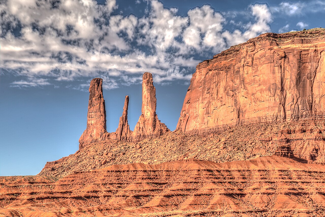 Three SistersSummitPhoto: Dsdugan, CC BY-SA 4.0 (via Wikimedia Commons)~19 min drive
 Mitchell ButteSummitPhoto: Warren LeMay, CC BY-SA 2.0 (via Wikimedia Commons)~19 min drive
 Rain God MesaSummitPhoto: David Zhang from Canada, CC BY-SA 2.0 (via Wikimedia Commons)~20 min drive
 Mitchell MesaSummitPhoto: Jeff Hollett, Public domain (via Wikimedia Commons)~20 min drive
 Camel ButteSummitPhoto: Domenico Convertini, CC BY-SA 2.0 (via Wikimedia Commons)~21 min drive
 Cly ButteSummitPhoto: mark byzewski, CC BY 2.0 (via Wikimedia Commons)~21 min drive
 Elephant ButteSummitPhoto: David Zhang from Canada, CC BY-SA 2.0 (via Wikimedia Commons)~21 min drive
Conditions and forecast
Daily highs and lows, wind and the chance of precipitation at the summit for the next 7 days, from the Open-Meteo model.
Questions about Agathla Peak
How tall is Agathla Peak?
7,077 ft (2,157 m).
Is there a trail to the top of Agathla Peak?
We don't know of a mapped trail or route to the summit. Plan the approach with local maps, a guidebook or a local guide.


Ask about this place
Questions about Agathla Peak: conditions, access, timing. Answers say when something isn't known.
