Mitchell Butte
 Photo: Warren LeMay, CC BY-SA 2.0 (via Wikimedia Commons)
- 6,383 ft
- summit
- Mar–May, Sep–Oct
- best months
Mitchell Butte is a summit in Arizona, rising to 6,383 feet in the Navajo Region Fire and Aviation Management area. The nearest town is Oljato-Monument Valley, about 3 miles away. Spring and fall are the most comfortable times to visit. Typical averages from the nearby Monument Valley weather station show May highs around 77°F and October highs near 69°F, while July averages about 93°F and January highs sit around 41°F. That station sits roughly 880 feet lower than the summit, so temperatures on top run cooler. The Wildcat Trail lies about 3 miles away, and TiPi Village campground is about 3 miles off. Canyon Trail is a little farther, at about 3.6 miles.
Conditions and forecast
Daily highs and lows, wind and the chance of precipitation at the summit for the next 7 days, from the Open-Meteo model.
- Summit elevation
- 6,383 ft
Elevation from USGS 3D Elevation Program terrain data (about 10 m resolution).
We don't know of a mapped trail or route to the summit of Mitchell Butte. Plan the approach with local maps, a guidebook or a local guide, and check conditions before you go.
Questions about Mitchell Butte
How tall is Mitchell Butte?
6,383 ft (1,946 m).
Is there a trail to the top of Mitchell Butte?
We don't know of a mapped trail or route to the summit. Plan the approach with local maps, a guidebook or a local guide.
 Wildcat TrailHikingPhoto: Navin75, CC BY-SA 2.0 (via Flickr)2.8 mi
- TiPi VillageCamping3 mi
- Canyon TrailHiking3.6 mi
Source: Roamze catalog (indexable pages within 10 miles, PostGIS distance)
 Gray WhiskersSummit · ~2 min drivePhoto: Warren LeMay, CC BY-SA 2.0 (via Wikimedia Commons)
 Mitchell MesaSummit · ~4 min drivePhoto: Jeff Hollett, Public domain (via Wikimedia Commons)
 West Mitten ButteSummit · ~6 min drivePhoto: Bernard Gagnon, CC BY-SA 3.0 (via Wikimedia Commons)
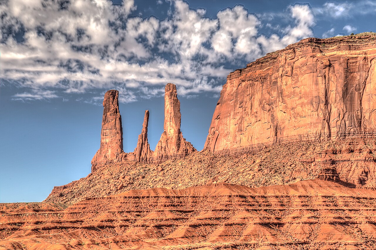 Three SistersSummit · ~6 min drivePhoto: Dsdugan, CC BY-SA 4.0 (via Wikimedia Commons)
 Sentinel MesaSummit · ~6 min drivePhoto: Bernard Gagnon, CC BY-SA 3.0 (via Wikimedia Commons)
 Merrick ButteSummit · ~6 min drivePhoto: W. Bulach, CC BY-SA 4.0 (via Wikimedia Commons)
 Elephant ButteSummit · ~7 min drivePhoto: David Zhang from Canada, CC BY-SA 2.0 (via Wikimedia Commons)
 Camel ButteSummit · ~8 min drivePhoto: Domenico Convertini, CC BY-SA 2.0 (via Wikimedia Commons)
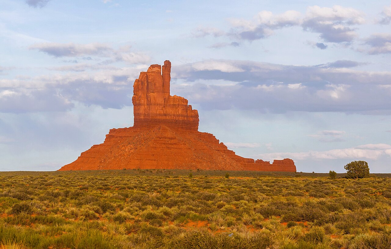 Big IndianSummit · ~8 min drivePhoto: russellstreet, CC BY-SA 2.0 (via Wikimedia Commons)
 East Mitten ButteSummit · ~8 min drivePhoto: Jon Sullivan, Public domain (via Wikimedia Commons)
Best time to visit Mitchell Butte
Best months: March–May and September–October. Best months have typical highs of 55–85 °F, lows of 30 °F or warmer (32 °F where the station doesn't record snow), at most one snowy day and no more than 12 wet days.
Jan
41° / 25°
Feb
48° / 29°
Mar
59° / 36°
Apr
67° / 42°
May
77° / 54°
Jun
89° / 65°
Jul
93° / 68°
Aug
90° / 65°
Sep
82° / 58°
Oct
69° / 45°
Nov
53° / 34°
Dec
41° / 25°
Typical high / low (°F) and days with rain or snow, 1991–2020. Measured at Monument Valley, AZ, 1.9 mi away at 5,501 ft. The station sits about 900 ft lower than this place, so expect it a little cooler here. This station doesn't record snowfall. Source: NOAA NCEI U.S. Climate Normals 1991–2020.

