

Black Rock Campground
Campground
Sites open the weekend of Dec 4 on Recreation.gov
Nancy Karl Trail is a climbing area in Joshua Tree National Park in California, managed by the National Park Service. It sits within the park's boundaries, and a fee is charged for access. Spring and fall are the most comfortable times to visit. Typical averages from a nearby weather station in Yucca Valley show April highs around 73°F and October highs around 80°F, while July and August average about 96°F. Two climbing areas, First Face and Hillraiser Boulder, are each about 0.1 mile away. For hiking, Onaga Trail is about 2.2 miles off and Backside Cutoff about 2.8 miles.
4 routes · V0 – V0- · Bouldering
Where it is: Joshua Tree National Park
Near: Yucca Valley
Best months: October–May. Best months have typical highs of 55–85 °F, lows of 30 °F or warmer (32 °F where the station doesn't record snow), at most one snowy day and no more than 12 wet days.
Jan
58°
38°
4 wet
Feb
61°
39°
3 wet
Mar
67°
40°
3 wet
Apr
73°
46°
2 wet
May
82°
52°
1 wet
Jun
91°
59°
0 wet
Jul
96°
66°
2 wet
Aug
96°
68°
2 wet
Sep
89°
60°
2 wet
Oct
80°
50°
1 wet
Nov
66°
41°
2 wet
Dec
58°
34°
4 wet
Typical high / low (°F) and days with rain or snow, 1991–2020. Measured at Yucca Valley, CA, 4 mi away at 3,249 ft. This station doesn't record snowfall. Source: NOAA NCEI U.S. Climate Normals 1991–2020.
Been here? Tell people how it was.
 Onaga TrailHikingPhoto: Randy Heinitz, CC BY 2.0 (via Flickr)2.2 mi
 Backside CutoffHikingPhoto: Giuseppe Milo, CC BY 3.0 (via Wikimedia Commons)2.8 mi
 Quail Springs BoulderingRock climbingPhoto: Tony Webster, CC BY 2.0 (via Flickr)3.8 mi
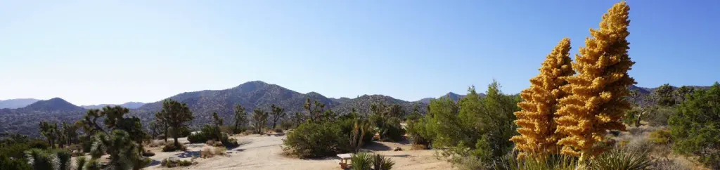 Black Rock CampgroundCampingPhoto: Recreation.gov (RIDB) / public domain4.4 mi
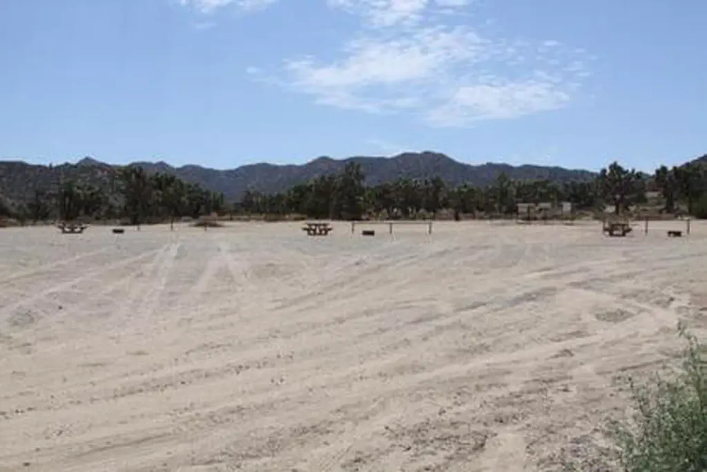 Black Rock Equestrian CampgroundCampingPhoto: Recreation.gov (RIDB) / public domain4.4 miQuail Springs BoulderingRock climbingPhoto: Tony Webster, CC BY 2.0 (via Flickr)~7 min drive
 Main Gate RockRock climbingPhoto: blachswan, CC BY 2.0 (via Flickr)~7 min driveLonely Stones 1Rock climbingPhoto: blachswan, CC BY 2.0 (via Flickr)~7 min driveDream Sequence BoulderRock climbingPhoto: blachswan, CC BY 2.0 (via Flickr)~7 min drive
 Miledi BouldersRock climbingPhoto: David Balmer, CC BY 3.0 (via Wikimedia Commons)~9 min driveMiledi BoulderRock climbingPhoto: David Balmer, CC BY 3.0 (via Wikimedia Commons)~9 min drive
 The Phantom CartRock climbingPhoto: neighborhoods.org, CC BY-SA 2.0 (via Flickr)~9 min drive
 Vagmarken Hill - North FaceRock climbingPhoto: Nfrastructure, CC BY 2.0 (via Flickr)~14 min drive
 (c) Vagmarken Buttress RightRock climbingPhoto: Ed Dunens, CC BY 2.0 (via Wikimedia Commons)~14 min drive
 (d) Vagmarken Hill - Chores Of Yore CragRock climbingPhoto: Nfrastructure, CC BY 2.0 (via Flickr)~14 min drive
Daily highs and lows, wind and the chance of precipitation at (a) Nancy Karl Trail for the next 7 days, from the Open-Meteo model.
Questions about (a) Nancy Karl Trail: conditions, access, timing. Answers say when something isn't known.
Black Rock Campground
Campground
Royal Siam Cuisine Thai Restaurant
Restaurant
 If it rainsJarek Tuszyński, CC BY 3.0 · Wikimedia Commons
Places © OpenStreetMap contributors · Photos: Jarek Tuszyński, CC BY 3.0 (commons)
More in Desert Hot Springs